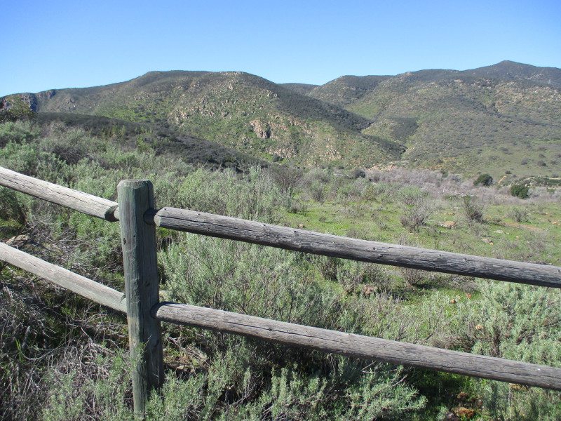
The San Dieguito River Park’s long Coast to Crest Trail runs through San Pasqual Valley, southeast of Escondido and northwest of Ramona. Much of the San Pasqual Valley is part of an agricultural preserve owned by the City of San Diego, where active farming can be observed.
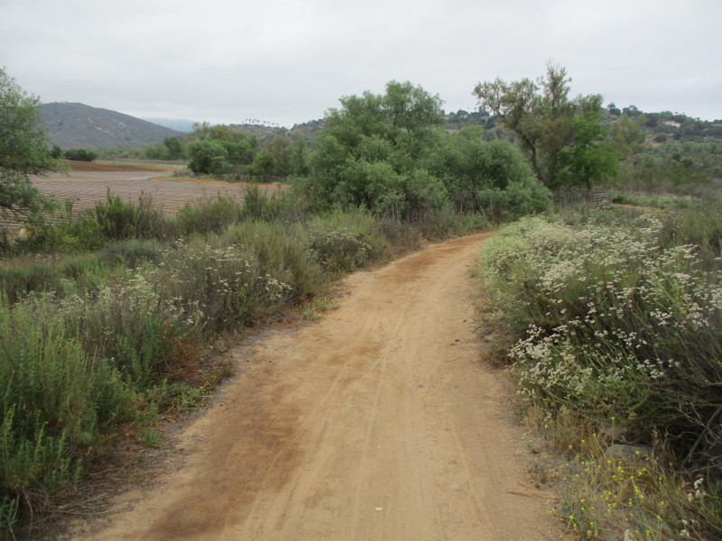
The San Pasqual Valley Agricultural Preserve Trail is a segment of the Coast to Crest Trail that passes swaths of this farmland.
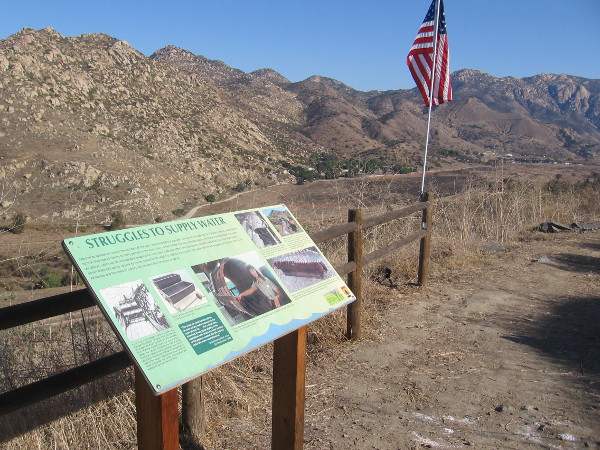
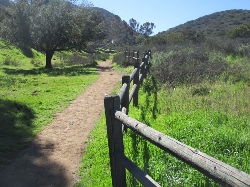
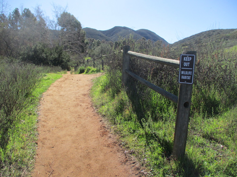
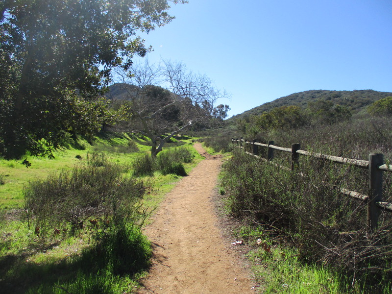
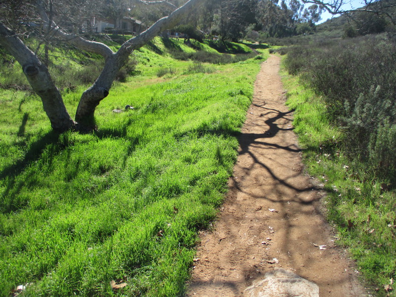
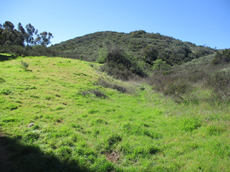
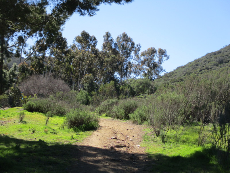
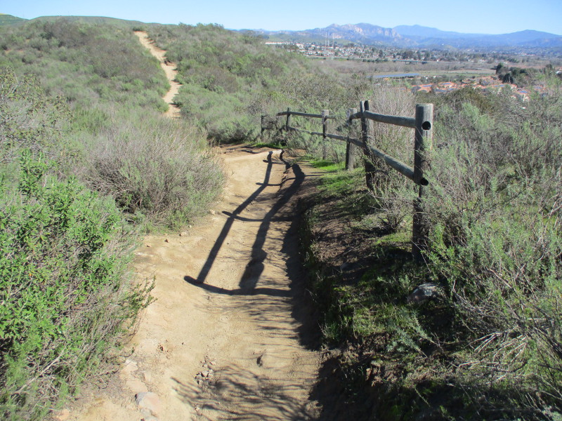
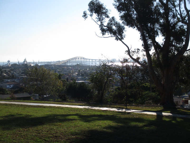
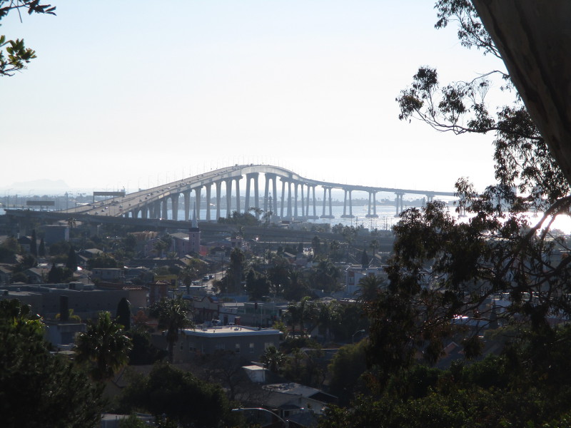
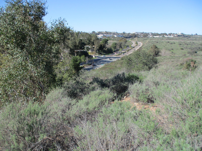
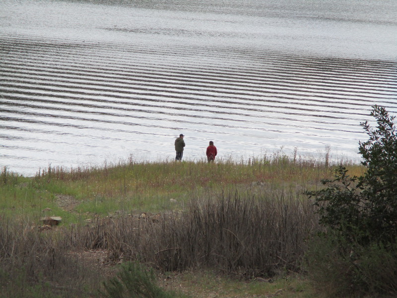
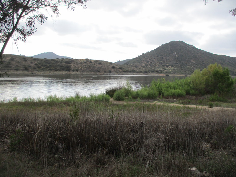
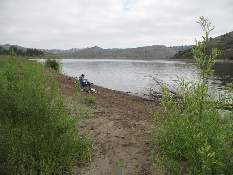
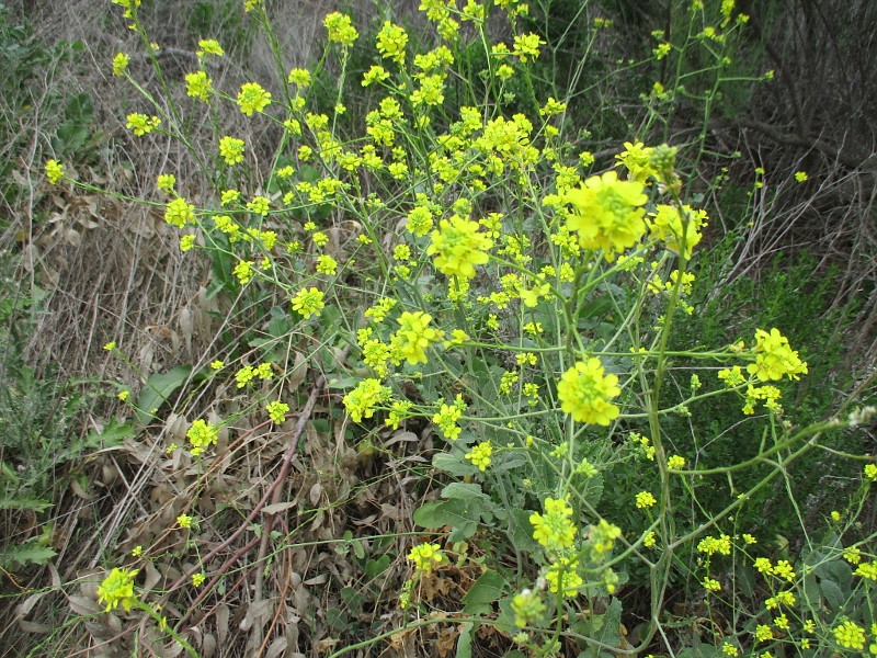
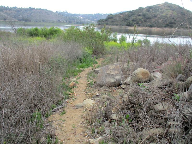
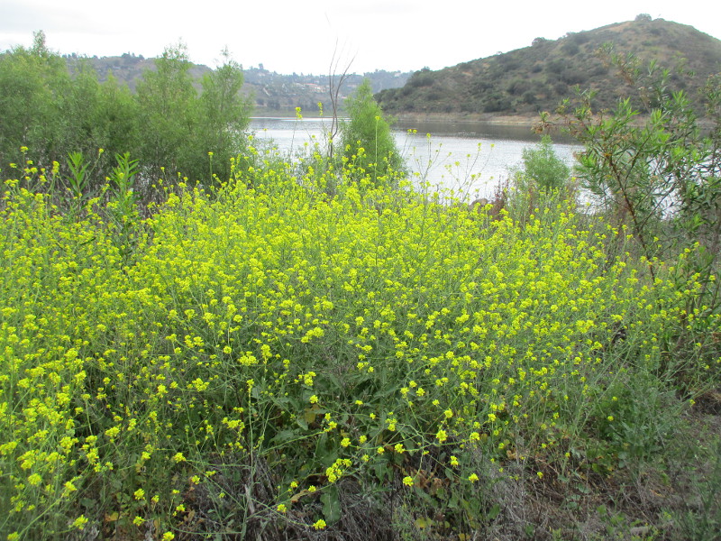
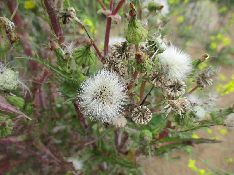
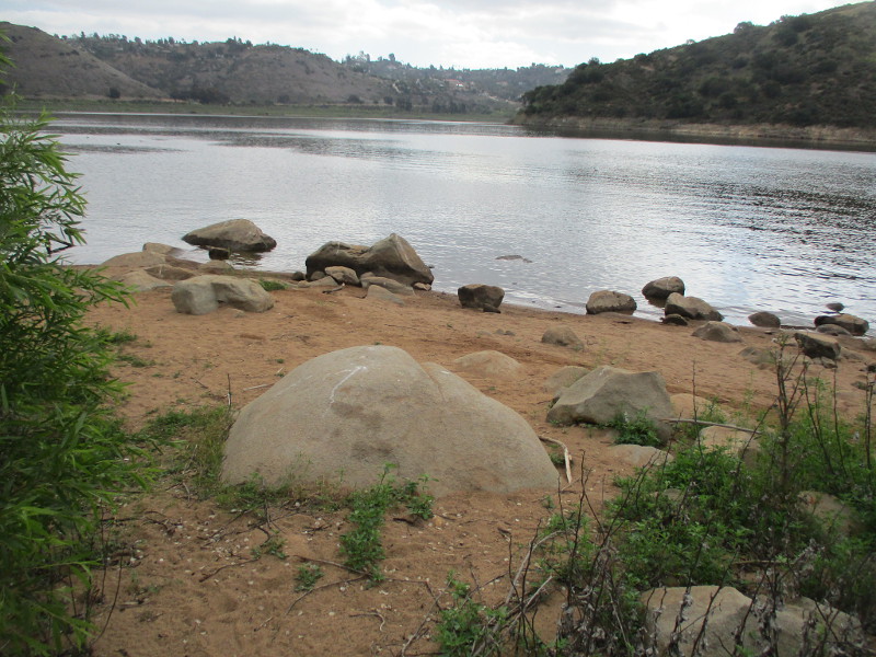
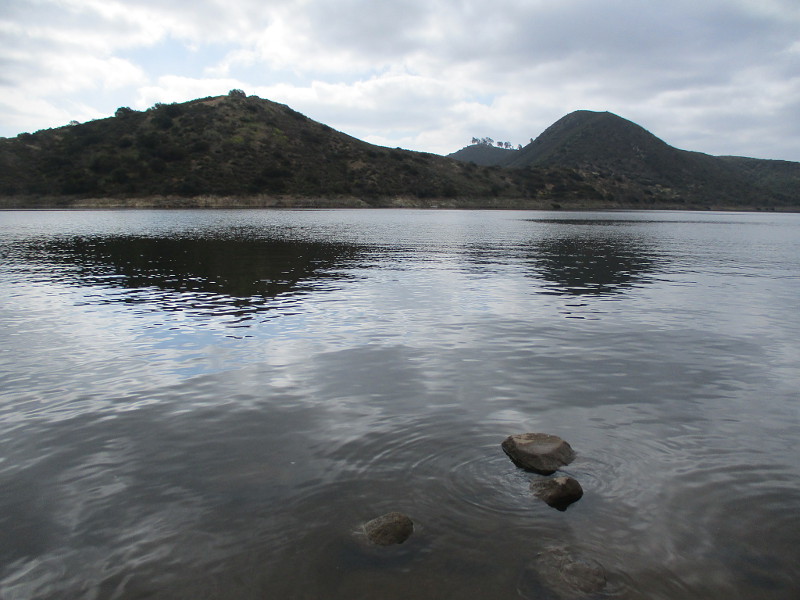
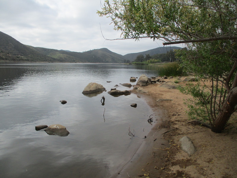
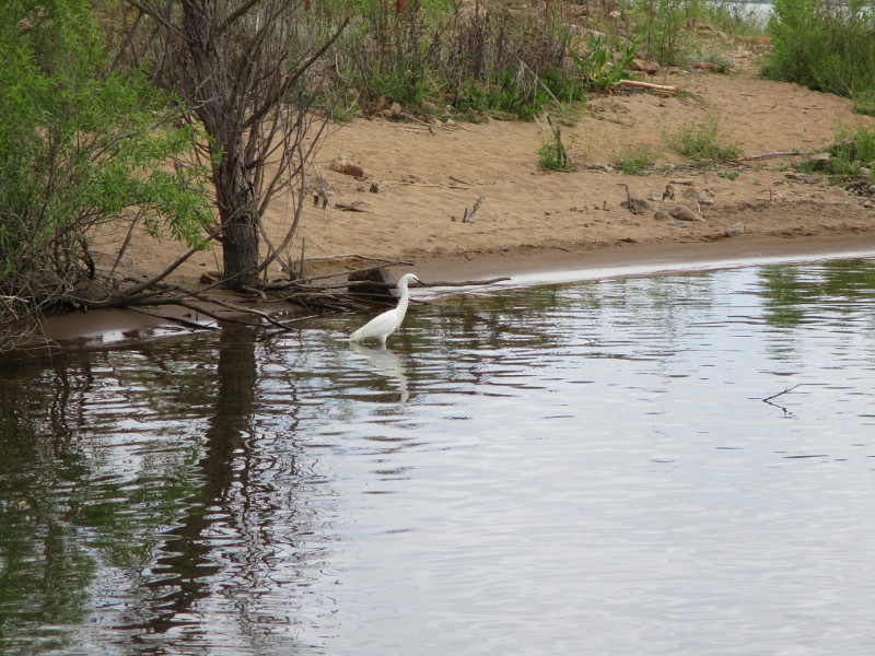
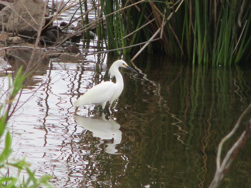
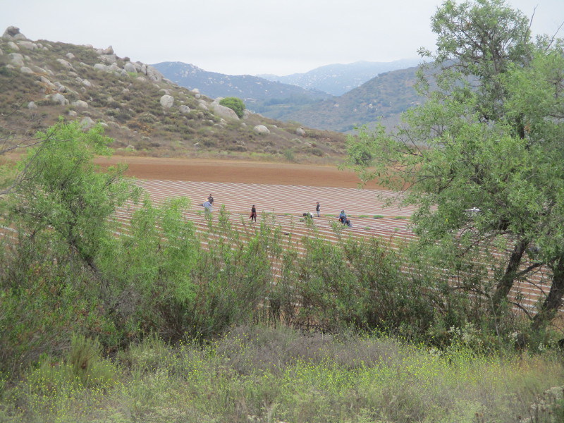
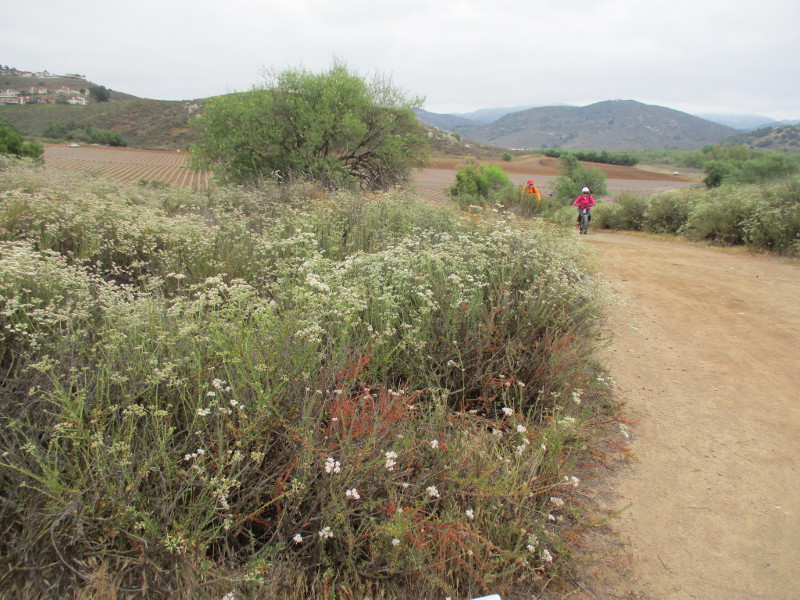
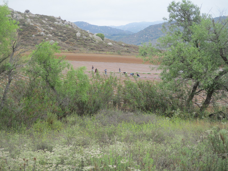
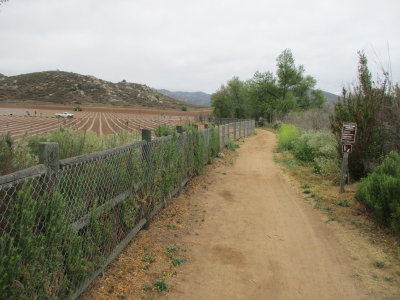
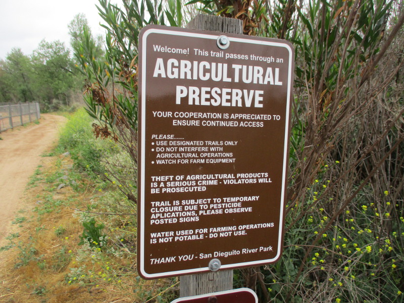
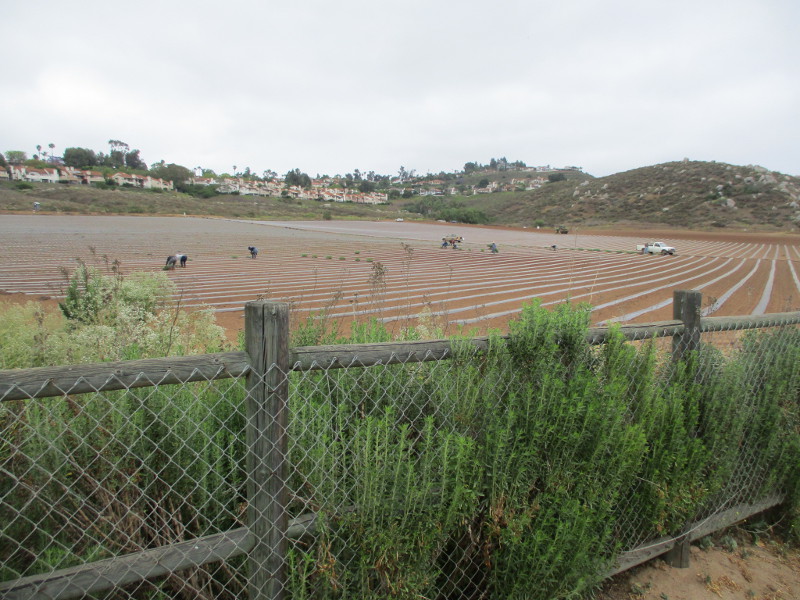
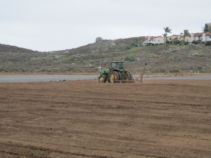
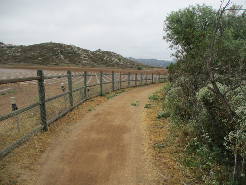
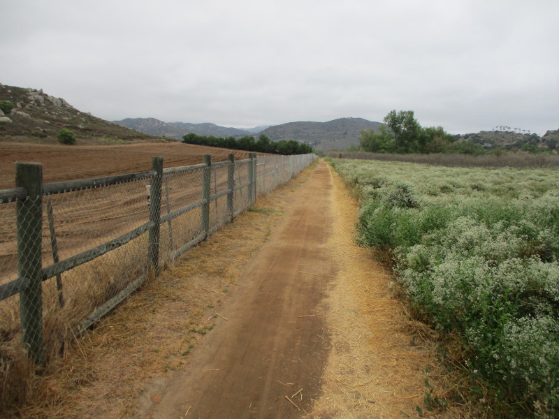
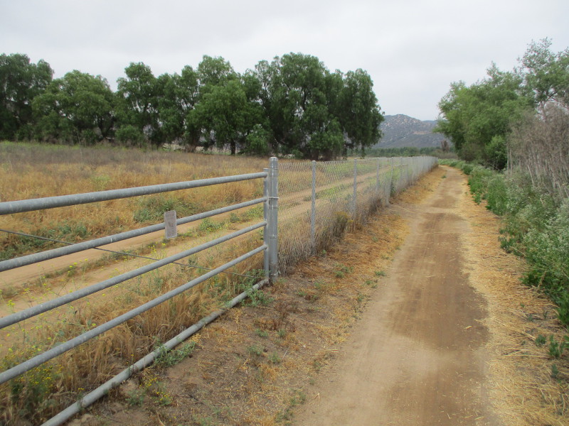
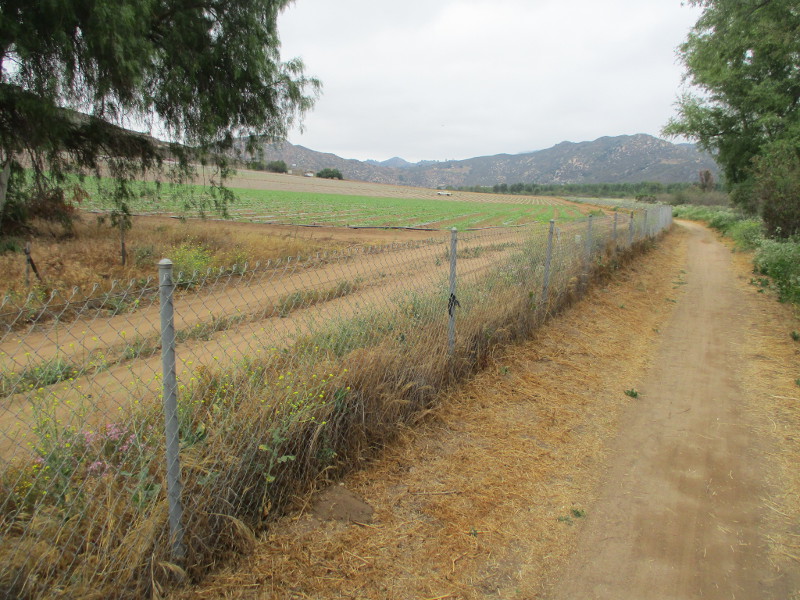
Yesterday I hiked perhaps a mile of this fascinating trail. As I walked east past an informative sign that I photographed, I observed farm workers planting a new crop to my left, and trees and vegetation along Lake Hodges/San Dieguito River to my right.
You can find a trail map in .pdf form here. You might have to rotate the map clockwise to orient yourself. The trail segment is almost 9 miles, and I explored only the west part of it, starting from the vicinity of Mule Hill. The sign that I photographed is where the wedge-like black arrow is on the map.
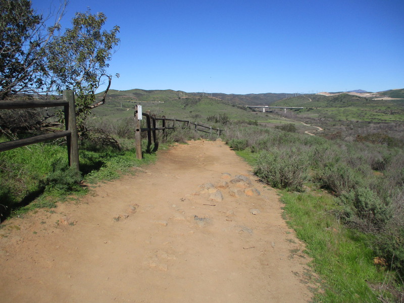
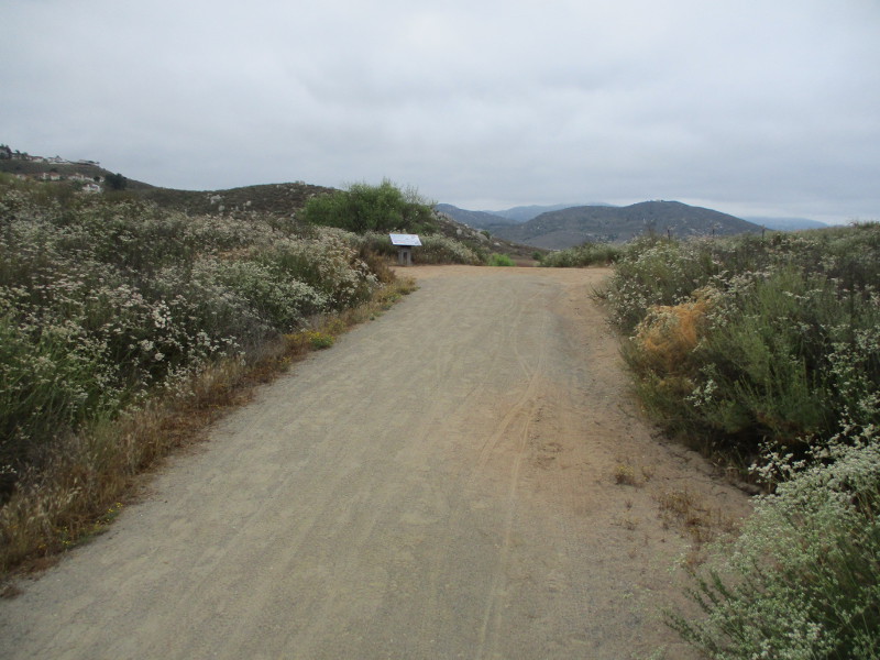
Here I am approaching the sign…
The San Dieguito River Park’s information includes:
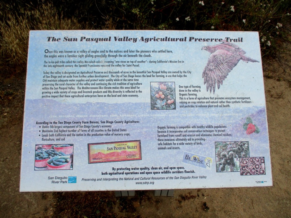
The San Pasqual Valley Agricultural Preserve Trail runs through what once was called the valley of eagles. The In-ke-pah tribe called this valley Mo-culoch-culoch, which means “one stone on top of another.” In the late 18th century, the Spanish Franciscans renamed the valley for Saint Pascal.
The City of San Diego leases the land for farming, a use that helps the city maintain water supplies and protect water quality while preserving the rural character of the valley and continuing the tradition of agriculture in the San Pasqual Valley.
San Diego County maintains the second highest number of farms in all counties in the United States. It also leads the nation in the production value of nursery crops, floriculture and sod.
To read the above sign, enlarge my photograph.
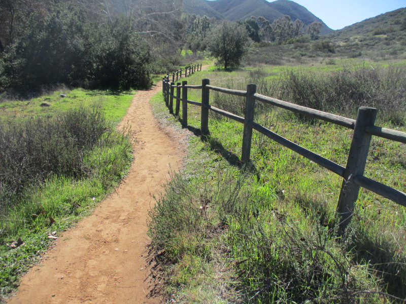
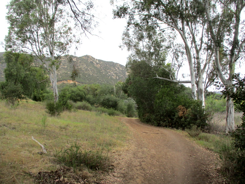
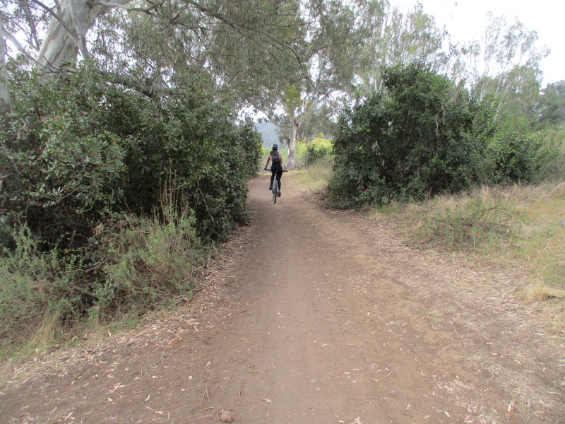
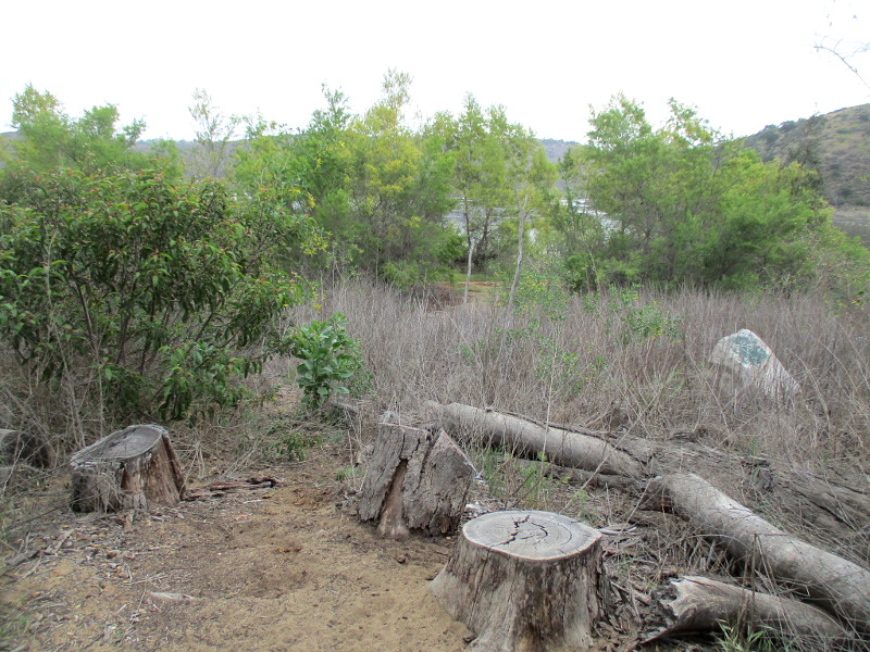
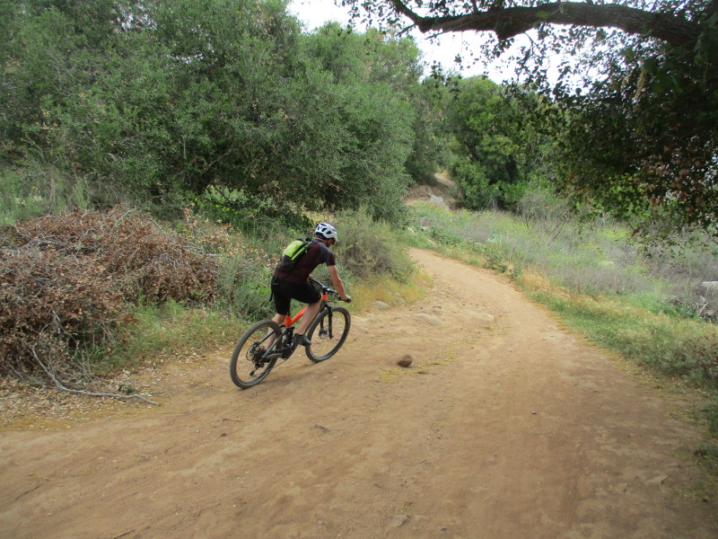
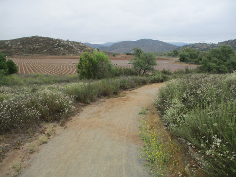
Now I’m continuing my walk past it, getting my first glimpse of farmland ahead. The weather was pleasantly overcast on this early June morning. I saw several mountain bikers during my walk…
…
I post new blogs pretty often. If you like discovering new things, bookmark coolsandiegosights.com and swing on by occasionally!
I live in downtown San Diego and love to walk around with my camera! You can follow Cool San Diego Sights via Facebook or X.
Feel free to share!