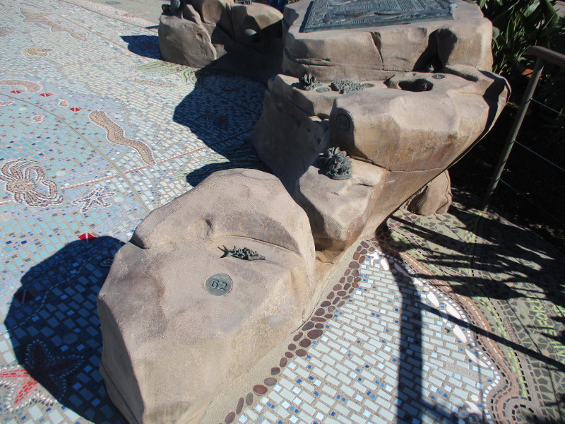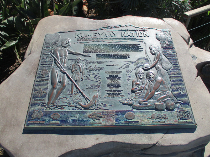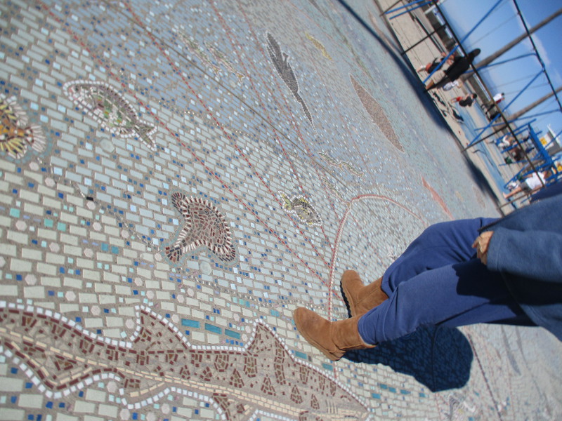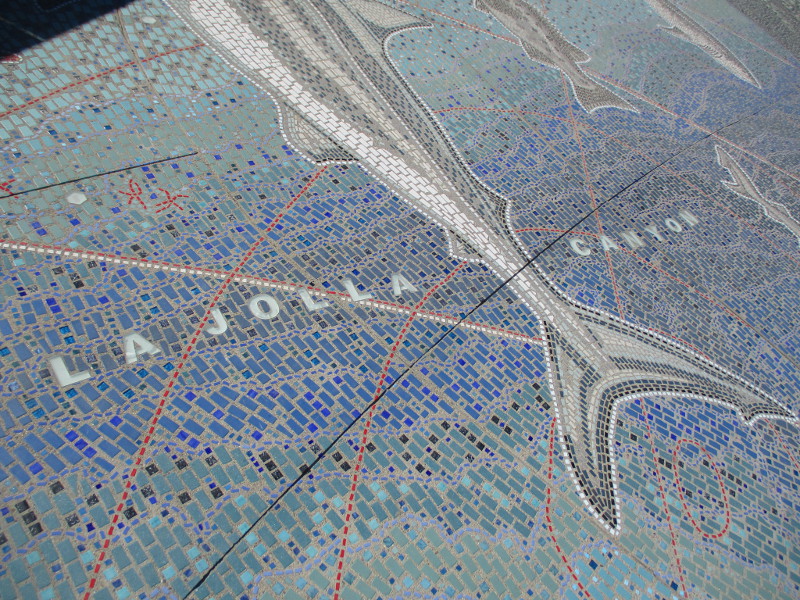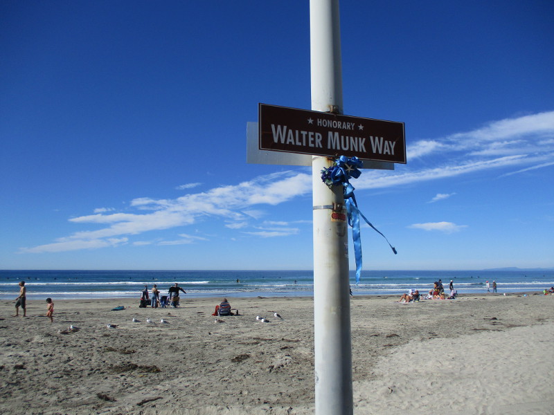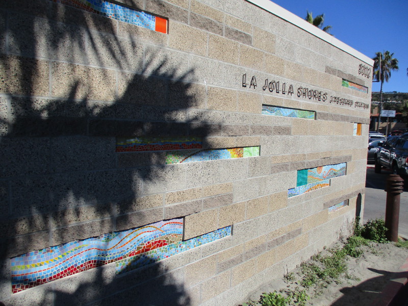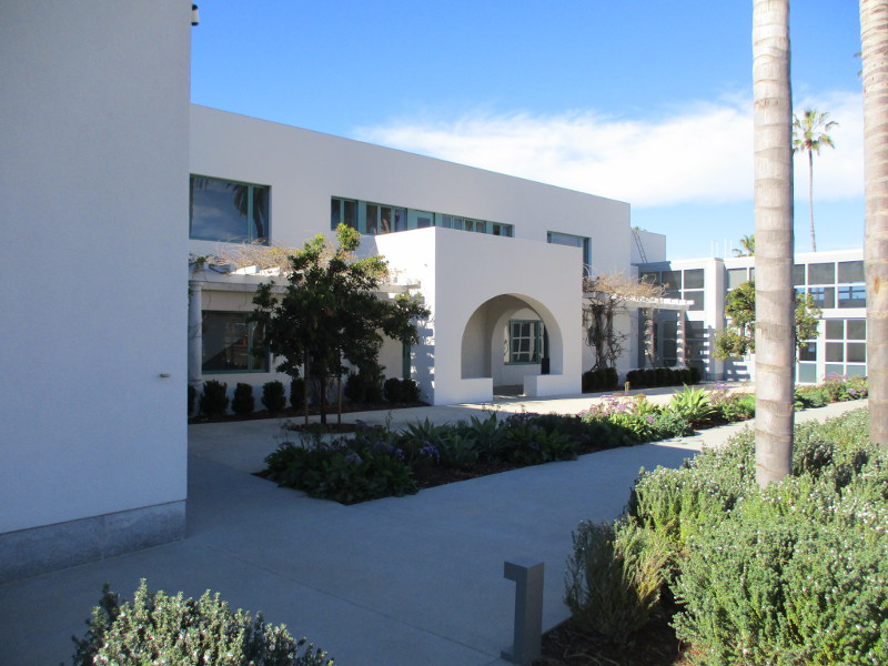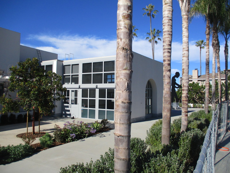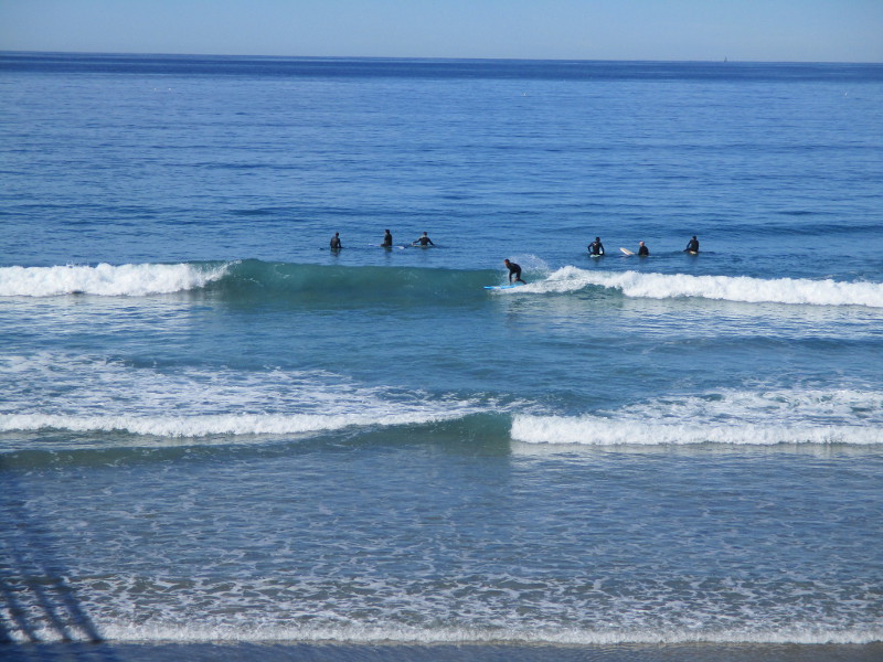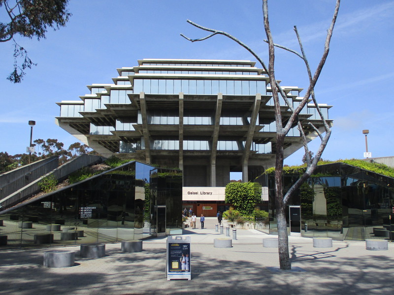
Today I walked around the amazing Geisel Library Building at UC San Diego. The architectural marvel is part of this weekend’s big San Diego Architectural Foundation’s annual Open House event.
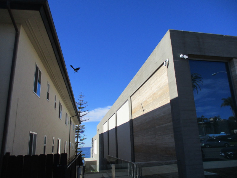
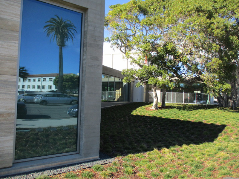
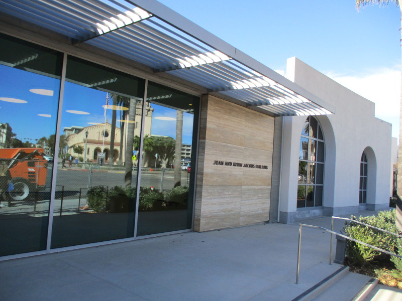
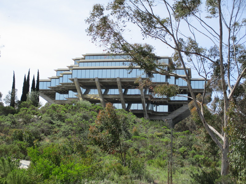
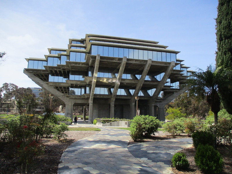
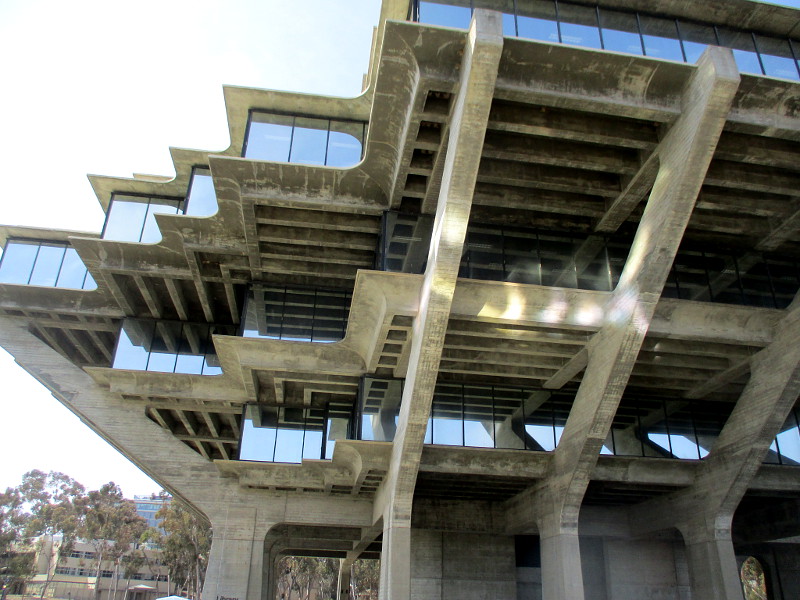
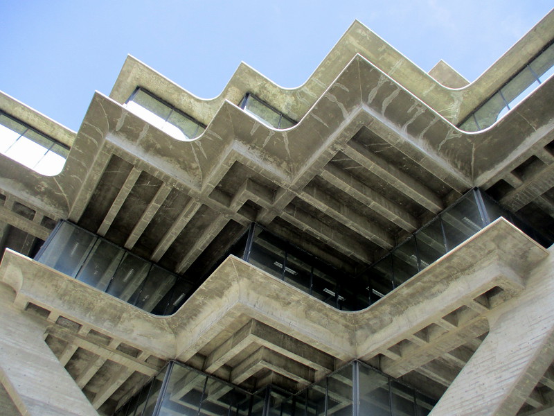
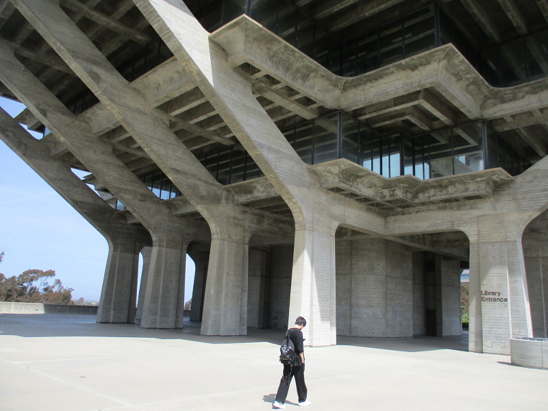
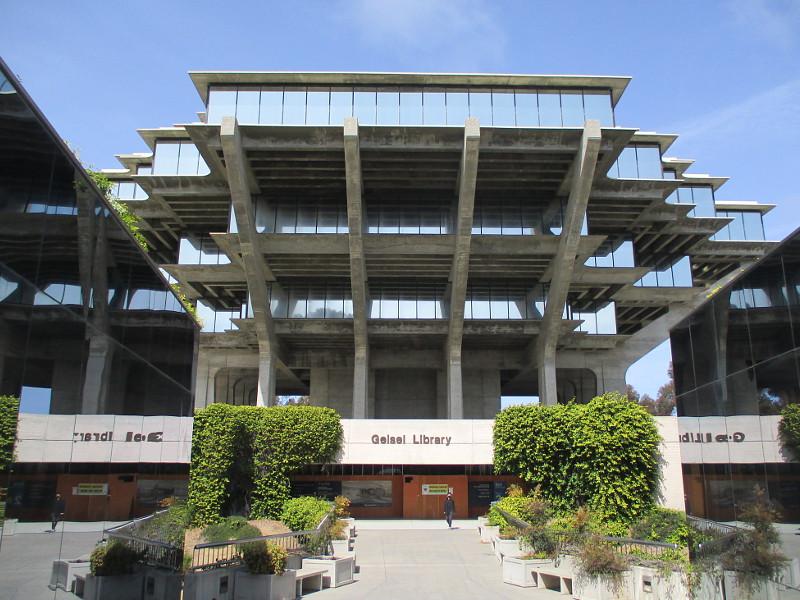
The Geisel Library had no special tour this year, so I merely walked around it, aiming my camera up at the iconic modernist concrete and glass structure.
The appearance of this building is so futuristic and fantastic that it has appeared often in television and film. Anyone who thinks of UCSD likely pictures the Geisel Library.
When I attended UCSD many years ago, it was called simply the Central Library. You can read about its history here.
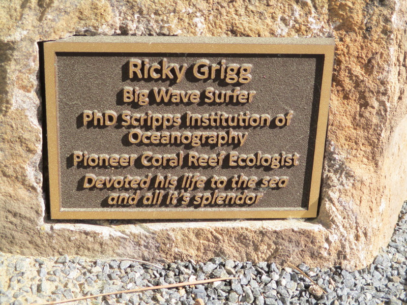
Of course, Theodor Seuss Geisel was the real name of children’s book author Dr. Seuss, who lived much of his life close by in La Jolla. The library has a huge collection of Dr. Seuss artwork and historical documents, and an exhibit is currently on display just inside the front entrance containing some of those pieces. I’ll be blogging about that very cool exhibit shortly!
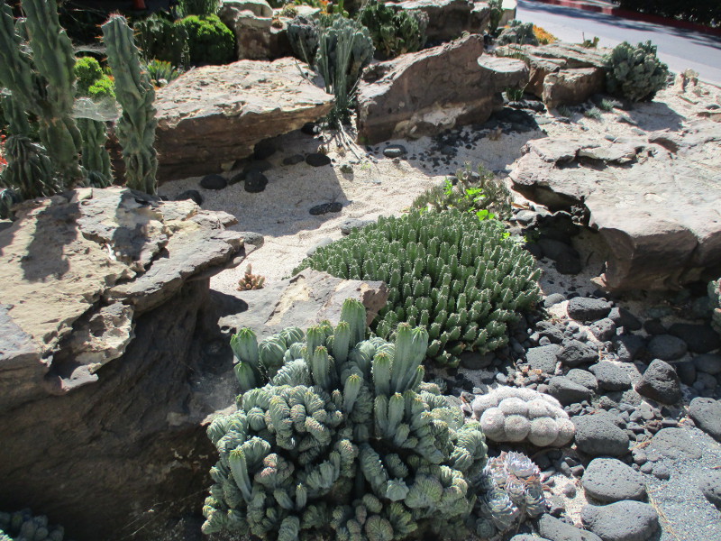
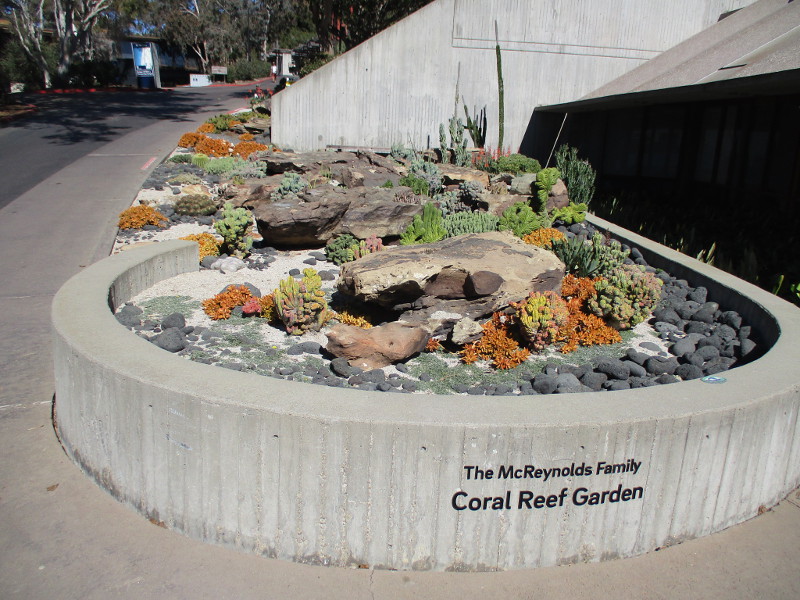
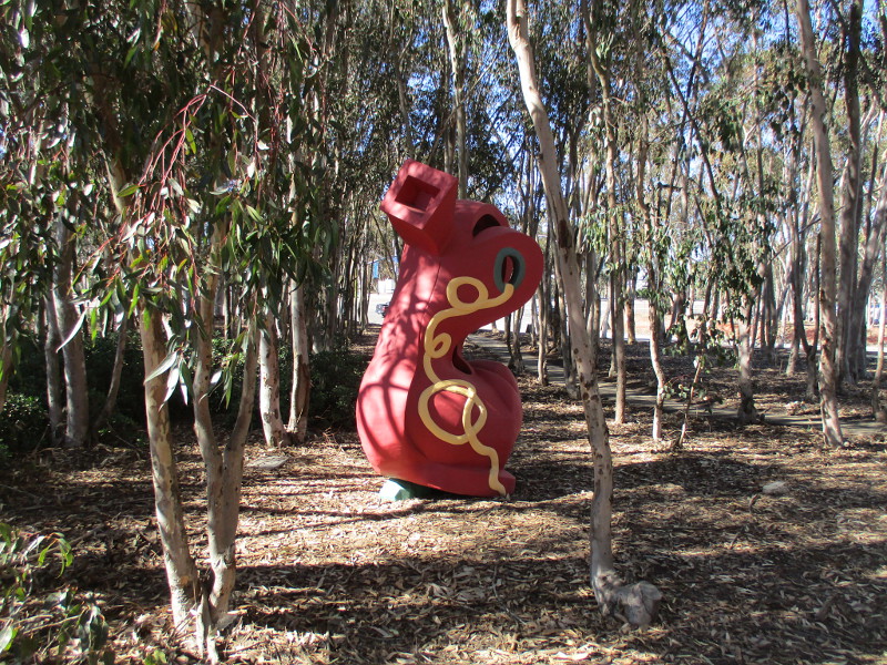
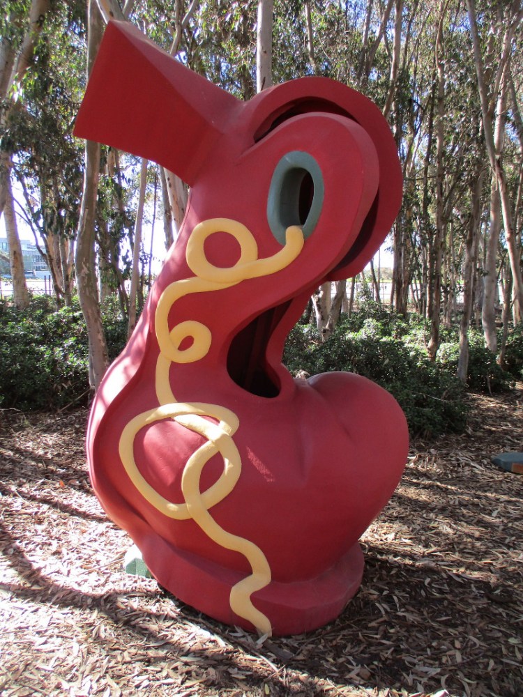
If you’ve ever walked around the Geisel Library, you’ve likely encountered a sculpture of Dr. Seuss with the Cat in the Hat, and the very unusual hillside Snake Path. If you haven’t seen these, check out past blog posts here and here!


…
I live in downtown San Diego and love to walk around with my camera! You can follow Cool San Diego Sights via Facebook or Twitter!
You can easily explore Cool San Diego Sights by using the search box on my blog’s sidebar. Or click a tag! There are thousands upon thousands of photos for you to enjoy!