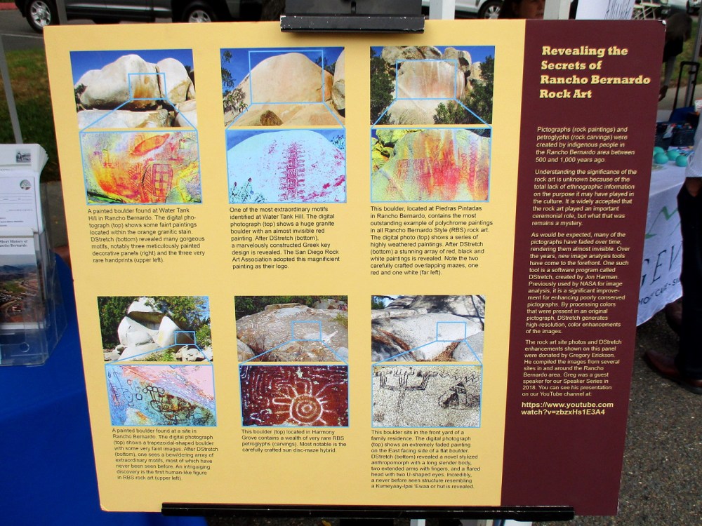
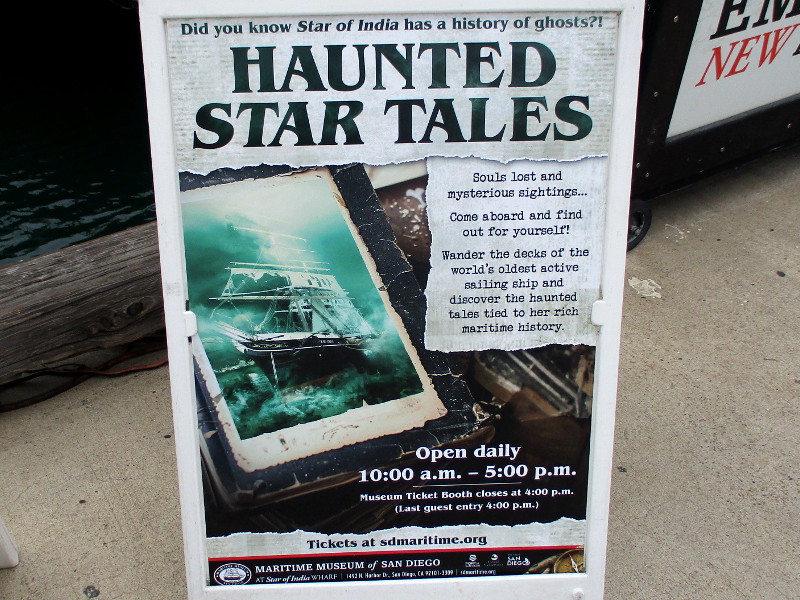
Have you ever had an eerie experience on the Star of India, San Diego’s world-famous tall ship? The old ship does have a long history of ghostly encounters. Are you curious?
Haunted Star Tales is an experience now available at the Maritime Museum of San Diego, in time for Halloween. Several signs posted around Star of India tell how visitors to the historic tall ship have had possible encounters with ghosts from the ship’s past.
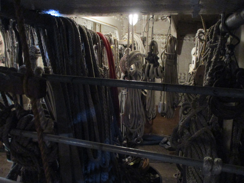
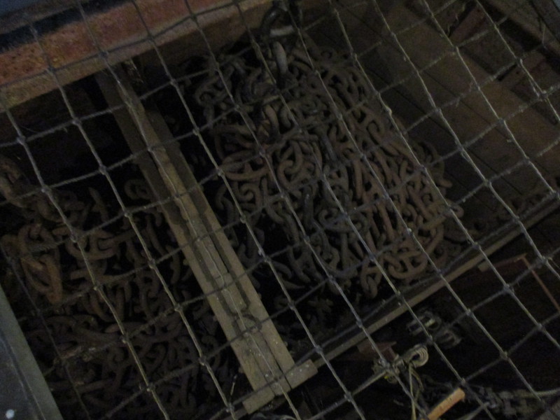
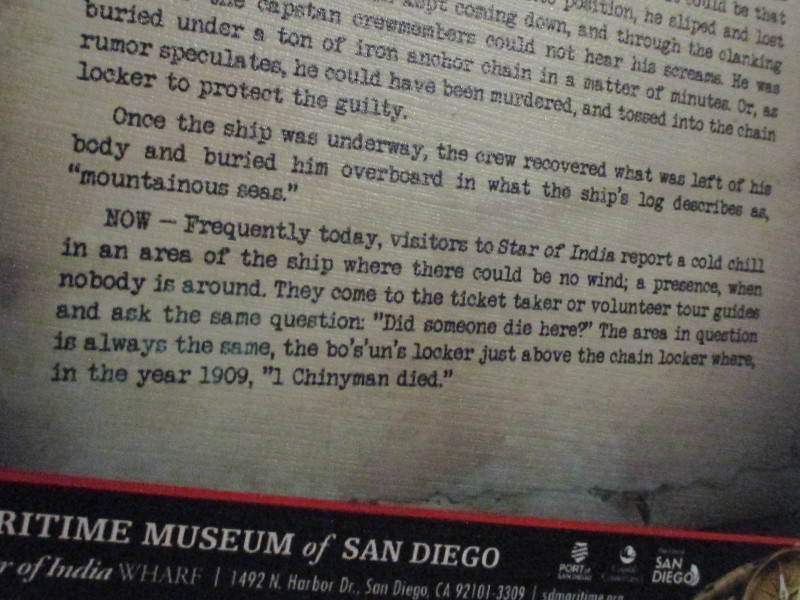
For example, people have reported a mysterious cold chill in the boatswain’s locker, just above the chain locker where a death occurred in the year 1909.
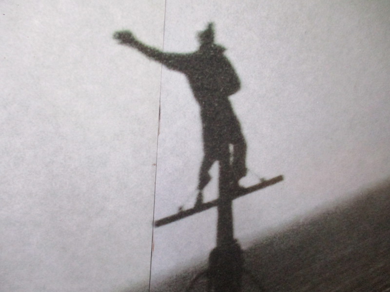
And there are those instances when ship caretakers, night watchmen and others have felt a finger in their back when nobody else is present–possibly by the ghost of one John Campbell, a stowaway boy, who, in 1884, working for his passage, fell 100 feet to the ship’s deck.
Wander the decks and darker areas inside 1863 Star of India, oldest active sailing ship in the world, looking for informative signs that tell of possible hauntings. You will find many human stories and so much fascinating history.
Whether you encounter a ghost–who knows?
…
Thanks for visiting Cool San Diego Sights!
I post new blogs pretty often. If you like discovering new things, bookmark coolsandiegosights.com and swing on by occasionally!
I live in downtown San Diego and love to walk around with my camera! You can follow Cool San Diego Sights via Facebook or X.