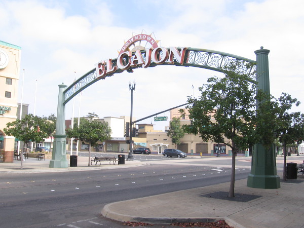
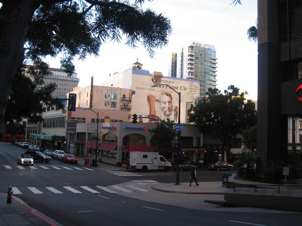
Last weekend I enjoyed an easy walk up and down Main Street through downtown El Cajon.
I started at the El Cajon landmark sign, where I read some historical information concerning Amaziah Lord Knox, founder of Knox’s Corners, later the City of El Cajon.
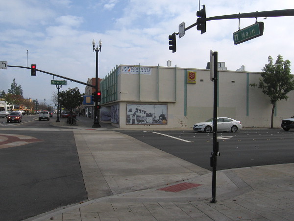
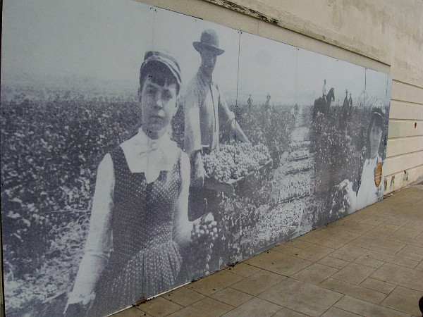
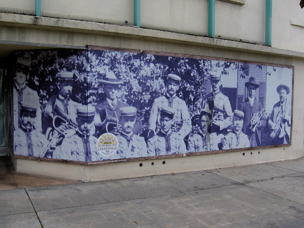
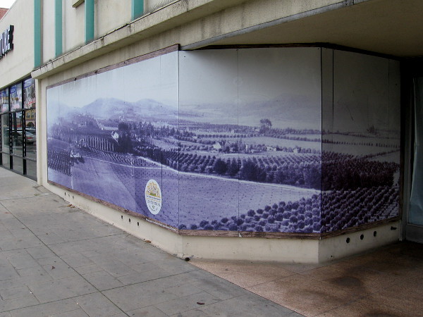
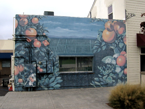
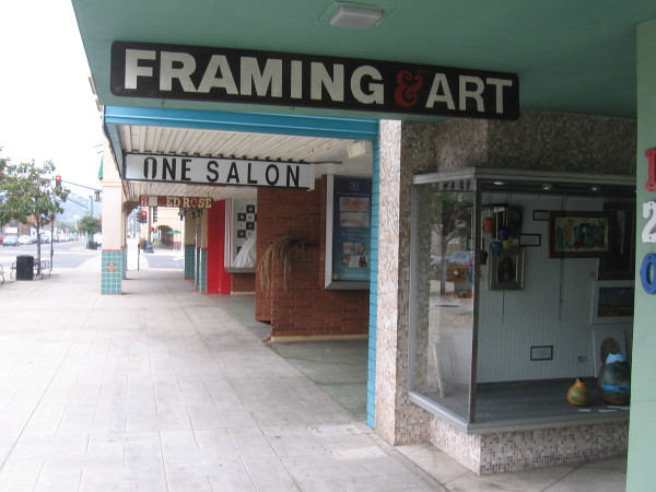
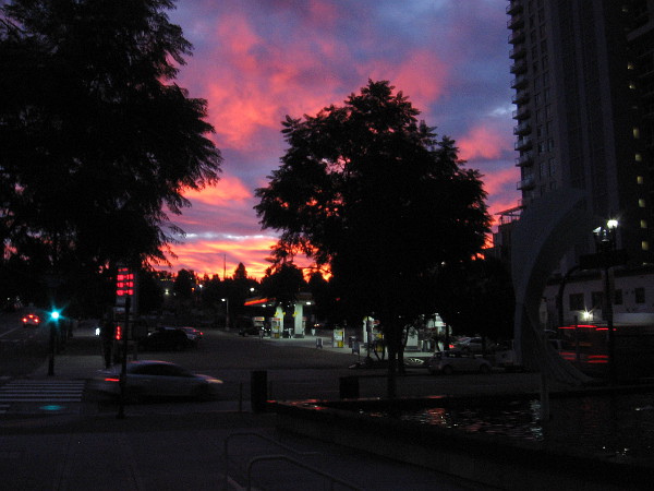
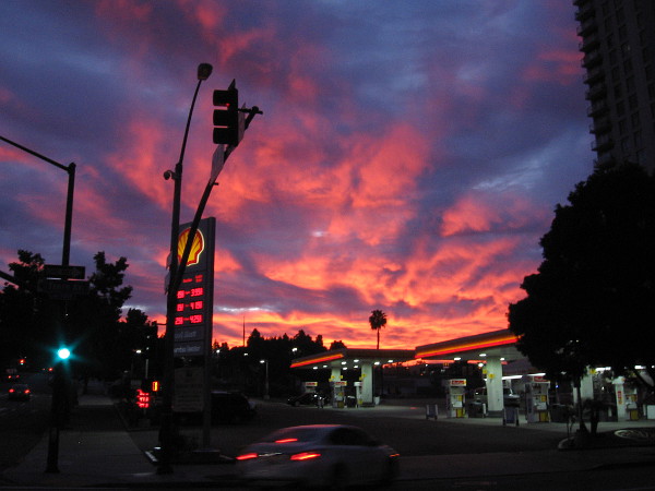
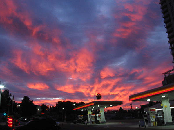
I then headed east to the corner of Main Street and Magnolia Avenue, where old photos provided by the El Cajon Historical Society adorn the vacant Salvation Army Thrift Store building. I believe the photo murals were put up for the El Cajon Centennial, which was in 2012.
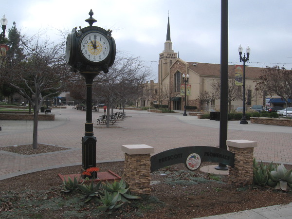
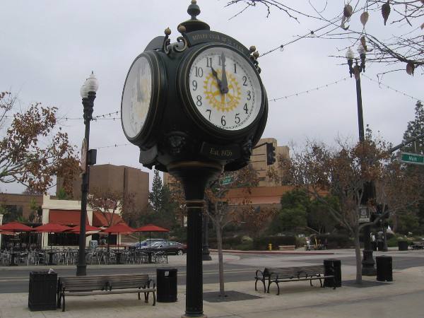
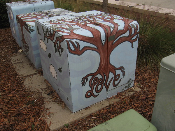
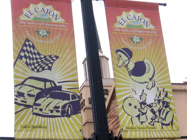
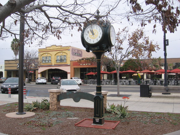
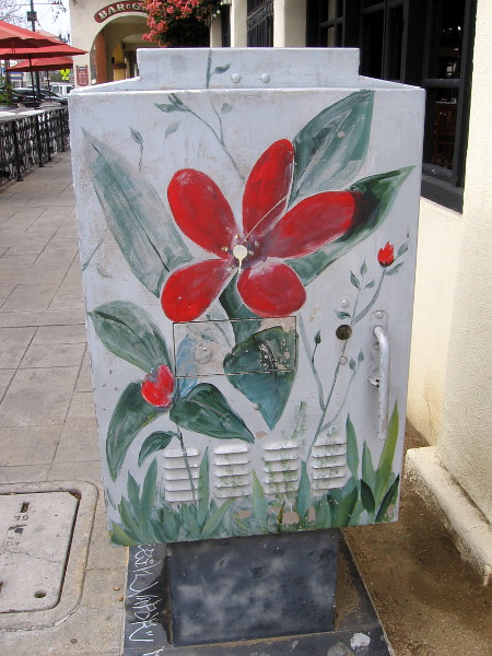
I continued walking east to Prescott Promenade, where I checked out the handsome old Rotary Club of El Cajon clock and some fun street art. I saw many different banners hung from lamp posts that celebrate El Cajon. Some banners depicted the Cajon Speedway, the Mother Goose Parade, and seven-time NASCAR champ Jimmie Johnson, who grew up in El Cajon.
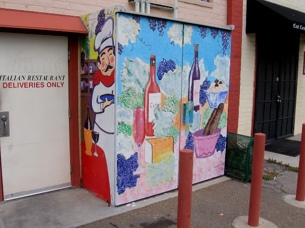
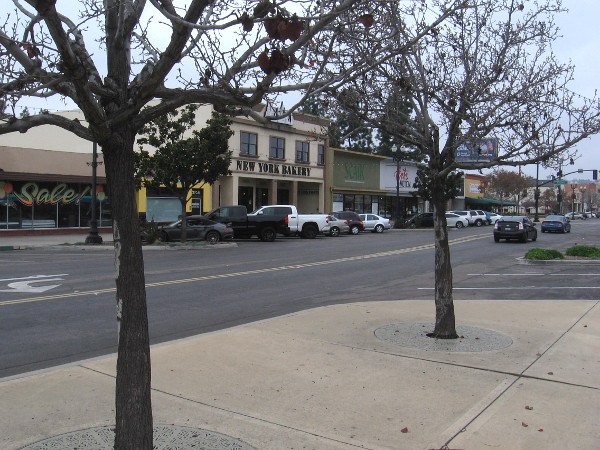
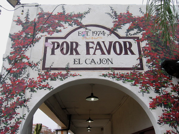
I crossed Main Street, checked out a beautiful fountain and artificial stream near the El Cajon Civic Center, then turned west and walked past a variety of small shops and colorful eateries.
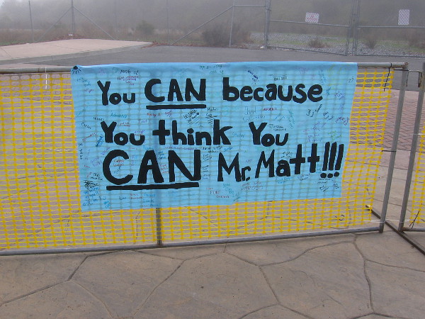
(The second photo below I took during a later walk. I’ve inserted it so you can more easily read the history of Amaziah Lord Knox.)
…
I live in downtown San Diego and love to walk around with my camera! You can follow Cool San Diego Sights via Facebook or Twitter!
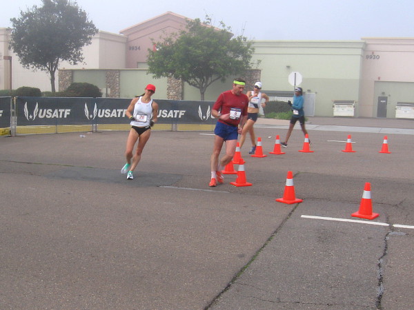
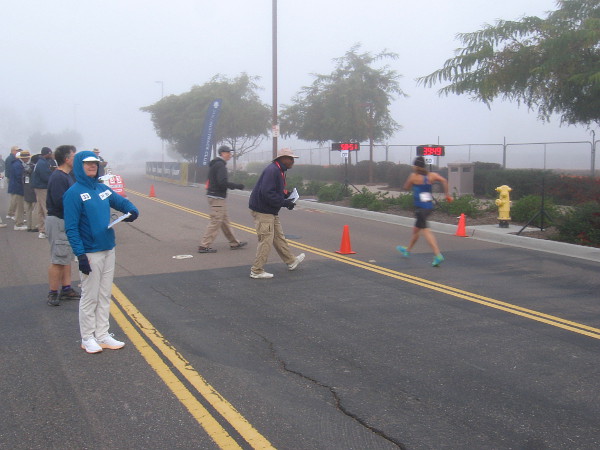
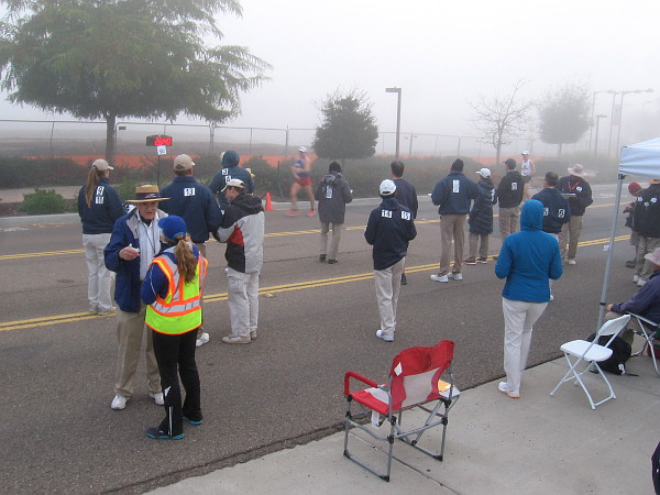
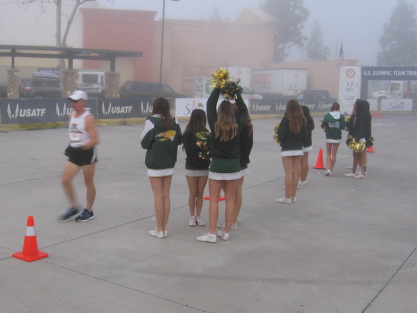
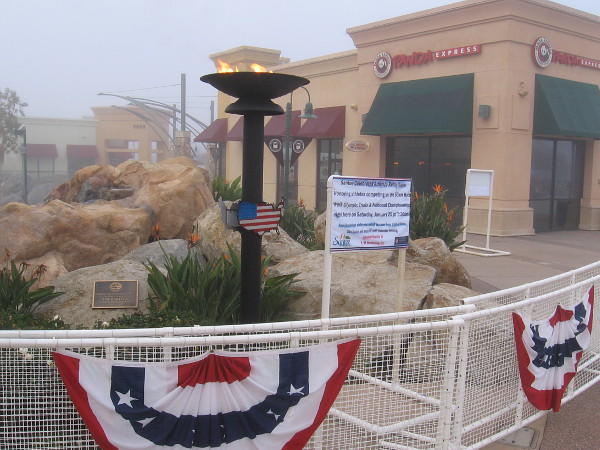
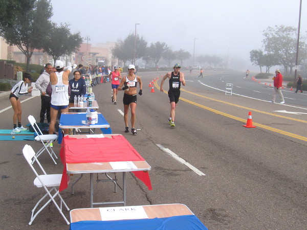
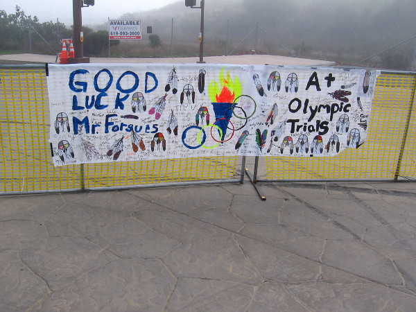
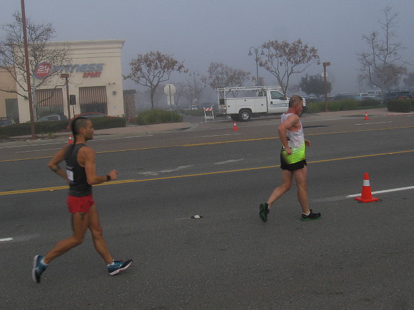
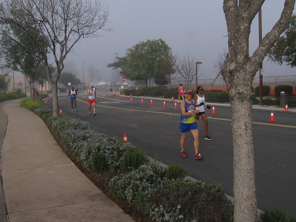
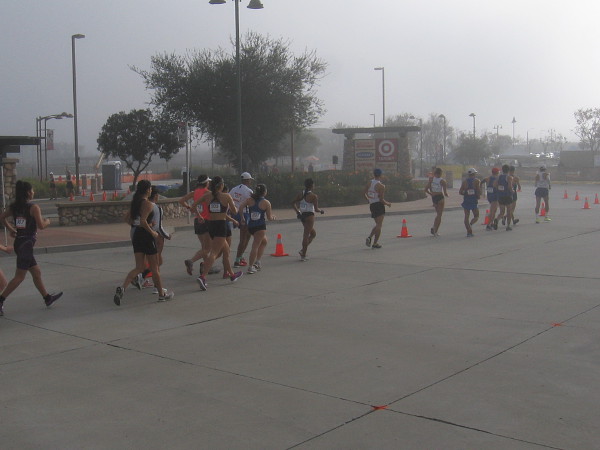
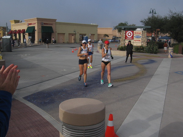
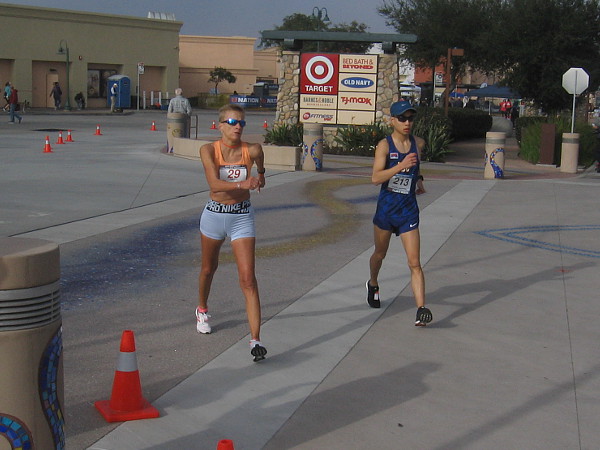
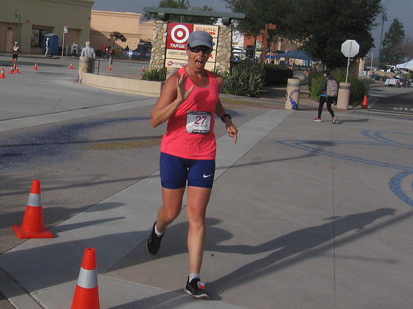
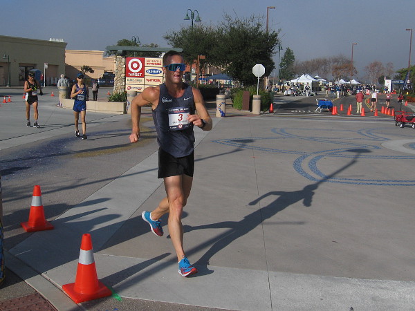
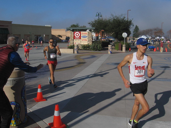
Some of the world’s top race walkers competed in Santee this morning! The U.S. Olympic 50km Race Walk Trials and ASATF National Women’s and Masters 50km Race Walk Championships were contested on a course near the Santee Town Center trolley station!
Racing the 1250 meter loop course were several amazing local athletes, past National Champions, the past World Record holder at this distance, Erin Taylor-Talcott, and the always smiling 74-year-old multiple record holder Darlene Backlund!
While the 50km race (that’s longer than a marathon!) was well underway, I watched as elite invitational 20km and 10km racers started their competition on the same course.
In these photos you can see how the morning fog eventually lifted and the Southern California sunshine cast its light on some our nation’s most dedicated, toughest athletes. You can see how the faces of many race walkers also shined!
I left before the races concluded. To me, every participant I observed was victorious.
The 2020 U.S. Olympic Team will be competing this summer in Sapporo, Japan.
Go TEAM USA!
…
I live in downtown San Diego and love to walk around with my camera! You can follow Cool San Diego Sights via Facebook or Twitter!
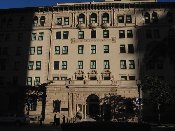
Morning light and shadow on the historic Army-Navy YMCA building, now home to The Guild Hotel.
Before the excitement of this afternoon’s MLK Day Parade, I took a quiet morning walk through downtown San Diego.
My photos begin a few blocks shy of the west end of Broadway. I headed south until I reached the water, where I found a perfect bench to sit on.
Come along and read the captions to experience a few Sunday morning sights.
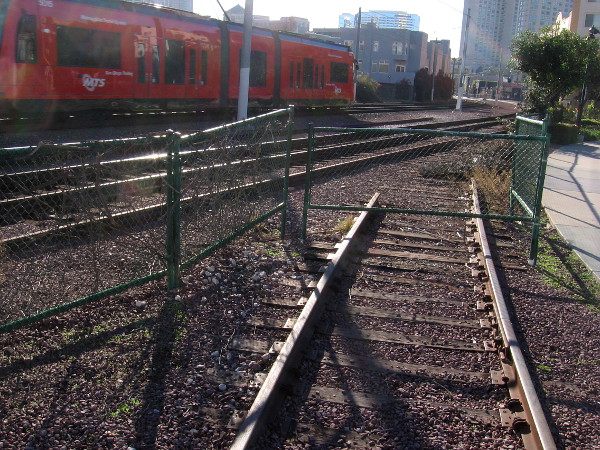
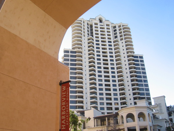
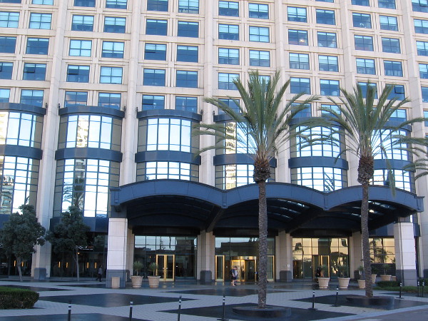
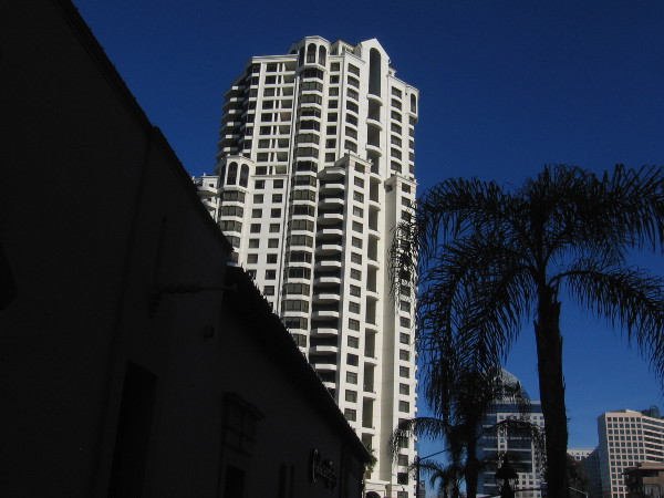
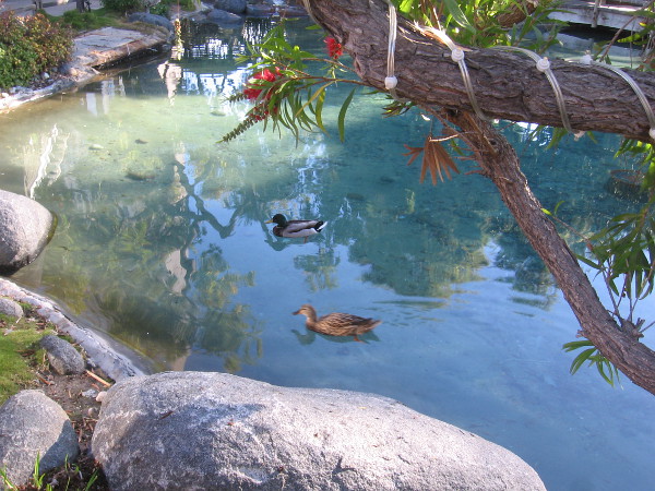
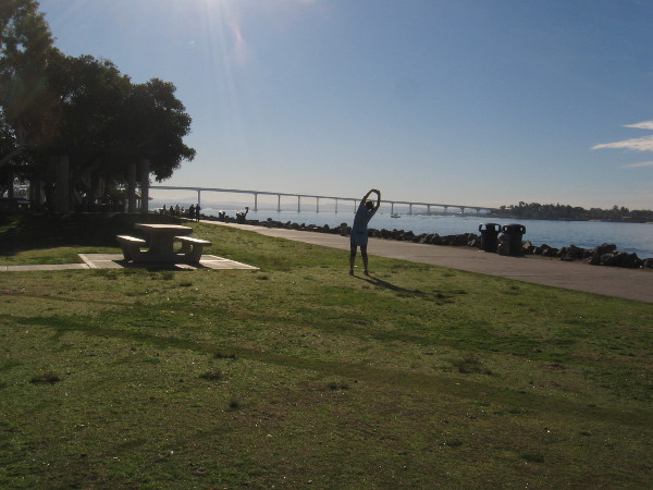
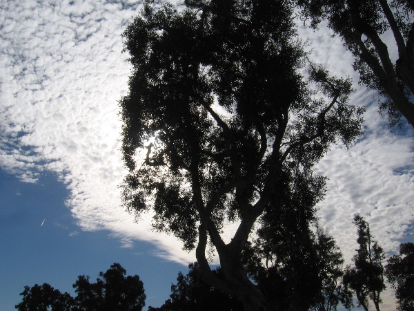
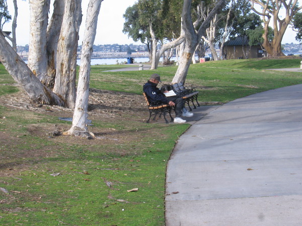
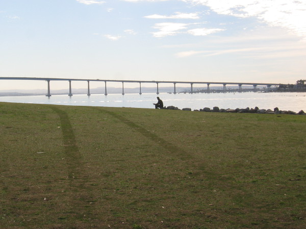
A splash of light from windows of the Electra condo building across Kettner Boulevard.Downtown reflections in the glassy Pacific Gate building.Walking south on the pathway between the trolley tracks and the Pacific Gate building.The visually interesting entrance to the Pacific Gate building.Old train tracks, severed from those used today.The distinctive Park Place condo building appears through an archway of the Harborview Apartments.Across Harbor Drive is The Headquarters and palm trees.The elegant north entrance to the Manchester Grand Hyatt San Diego.Looking back.A cool photo as I walk past The Headquarters.Ducks enjoy a swim in the Seaport Village pond.Someone performs a morning stretch on the grass at Embarcadero Marina Park North.Beautiful luminous clouds above treetops.Someone else likes to quietly read.A tranquil Sunday morning beside San Diego Bay. The San Diego–Coronado Bridge stretches in the distance.
…
I live in downtown San Diego and love to walk around with my camera! You can follow Cool San Diego Sights via Facebook or Twitter!
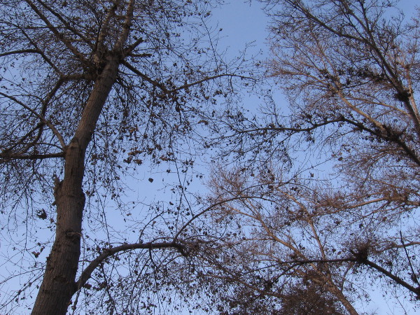
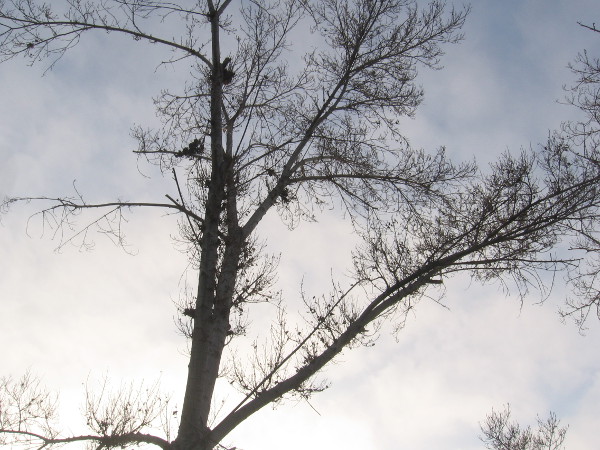
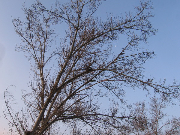
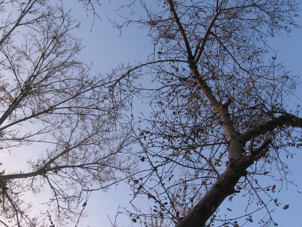
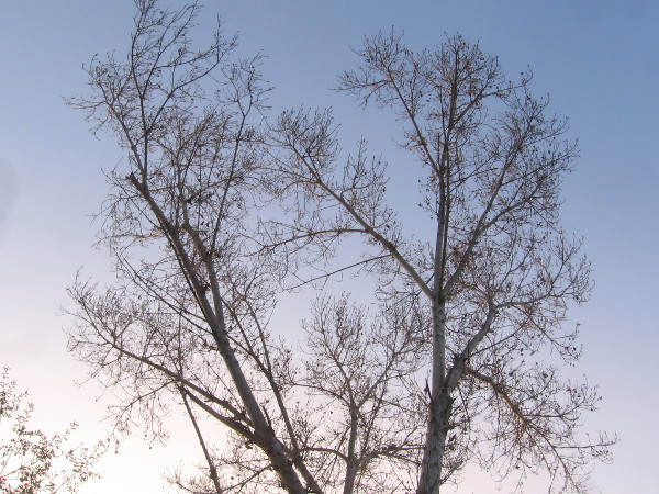
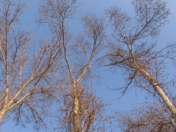
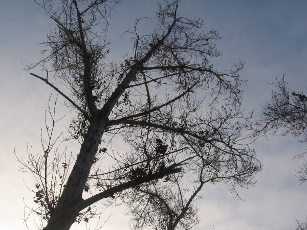
It’s winter. Many trees along the San Diego River have shed their leaves. Except for a few clinging brown leaves, most of the cottonwoods and sycamores are bare.
I aimed my camera upward this morning in Mission Valley, as I walked down the river path between the Rio Vista trolley station and Mission Center Road. Even in winter, the trees are very beautiful.
(Can you find a tiny moon in one photograph?)
…
I live in downtown San Diego and love to walk around with my camera! You can follow Cool San Diego Sights via Facebook or Twitter!
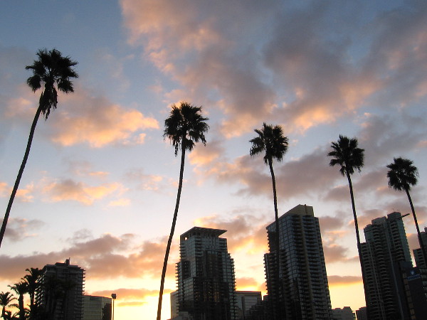
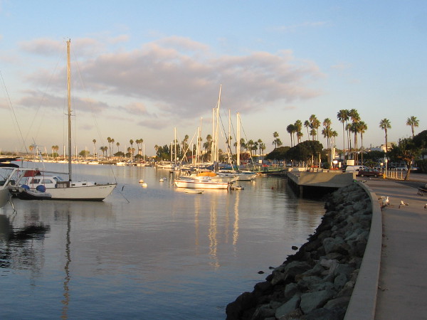
This chilly January morning I enjoyed a brisk walk. I brought out my camera when it was light enough for good photographs.
Come follow me from the County Administration Building north along San Diego Bay for a short distance. After returning back south, we’ll turn away from the water and head east on Ash Street, turn south on Pacific Highway, and end up near Broadway.
This morning the sky quickly turned blue after sunrise.
…
I live in downtown San Diego and love to walk around with my camera! You can follow Cool San Diego Sights via Facebook or Twitter!
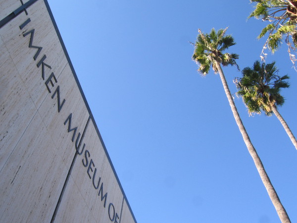
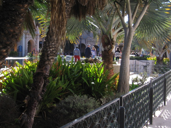
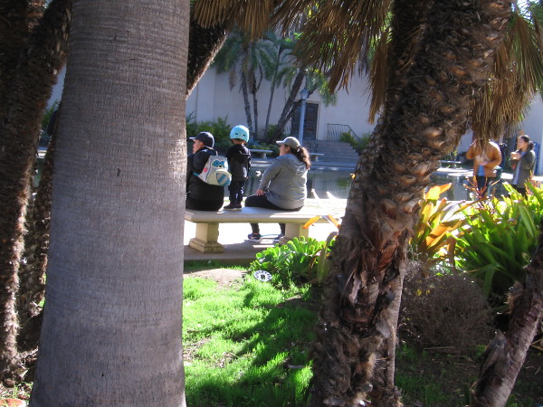
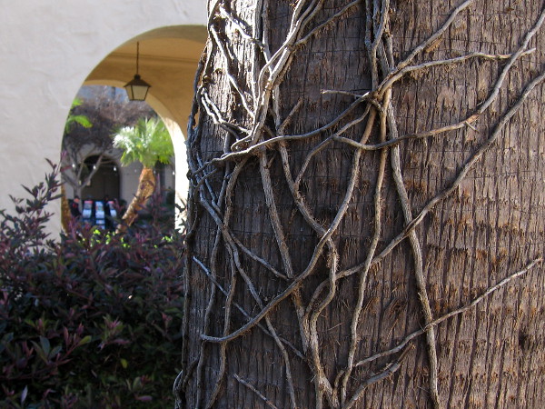
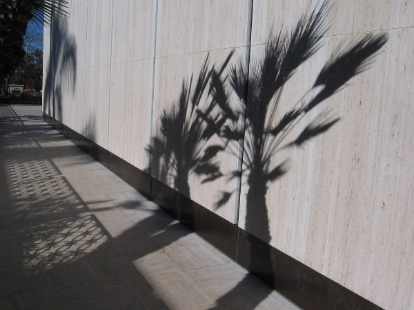
My walk through Balboa Park today included a slow circle around the Timken Museum of Art.
While the building doesn’t really fit with the park’s nearby Spanish Colonial Revival architecture, the museum is quite beautiful in its own way. For a description of this masterpiece of Southern California Modernism, you can visit an earlier blog that I posted here.
Few people journey next to the Timken’s bright walls. The walkway can be a bit hidden.
Here are a few scenes from this afternoon…
…
I live in downtown San Diego and love to walk around with my camera! You can follow Cool San Diego Sights via Facebook or Twitter!
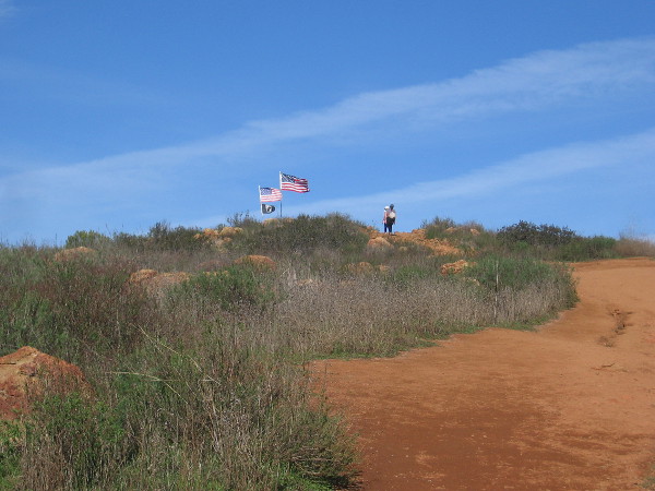
At the top of Mother Miguel Mountain you’ll find the Rock House and its flags, and a view of nearby San Miguel Mountain.
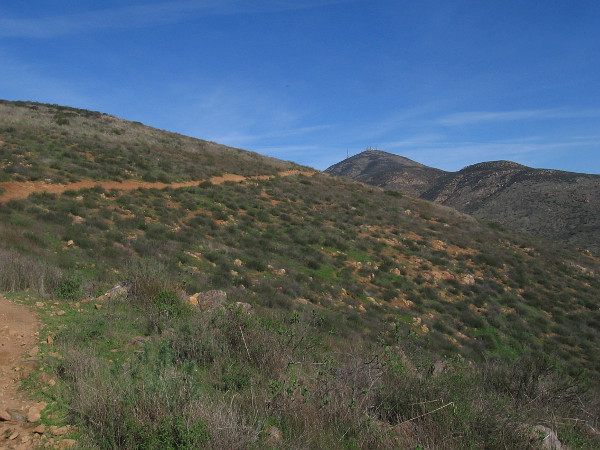
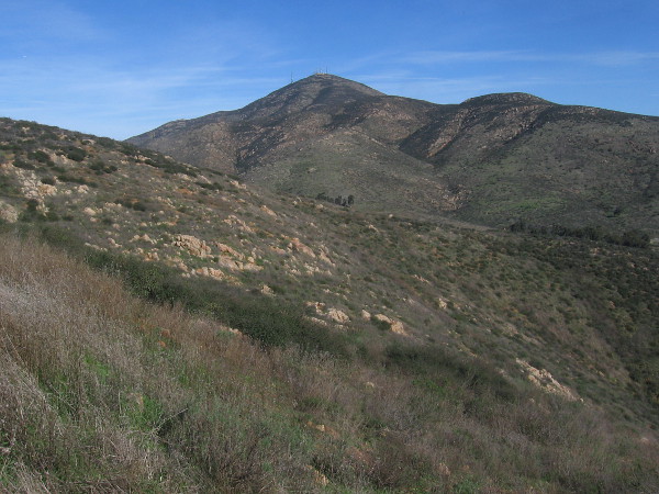
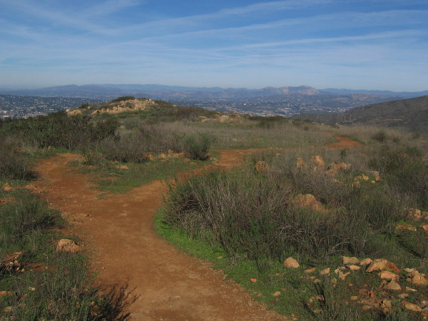
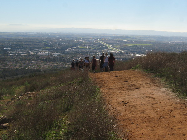
Today I enjoyed a hike to the top of Mother Miguel Mountain, just northeast of Chula Vista. While not as high as nearby San Miguel Mountain, the views of the southern part of San Diego from Mother Miguel Mountain are pretty amazing.
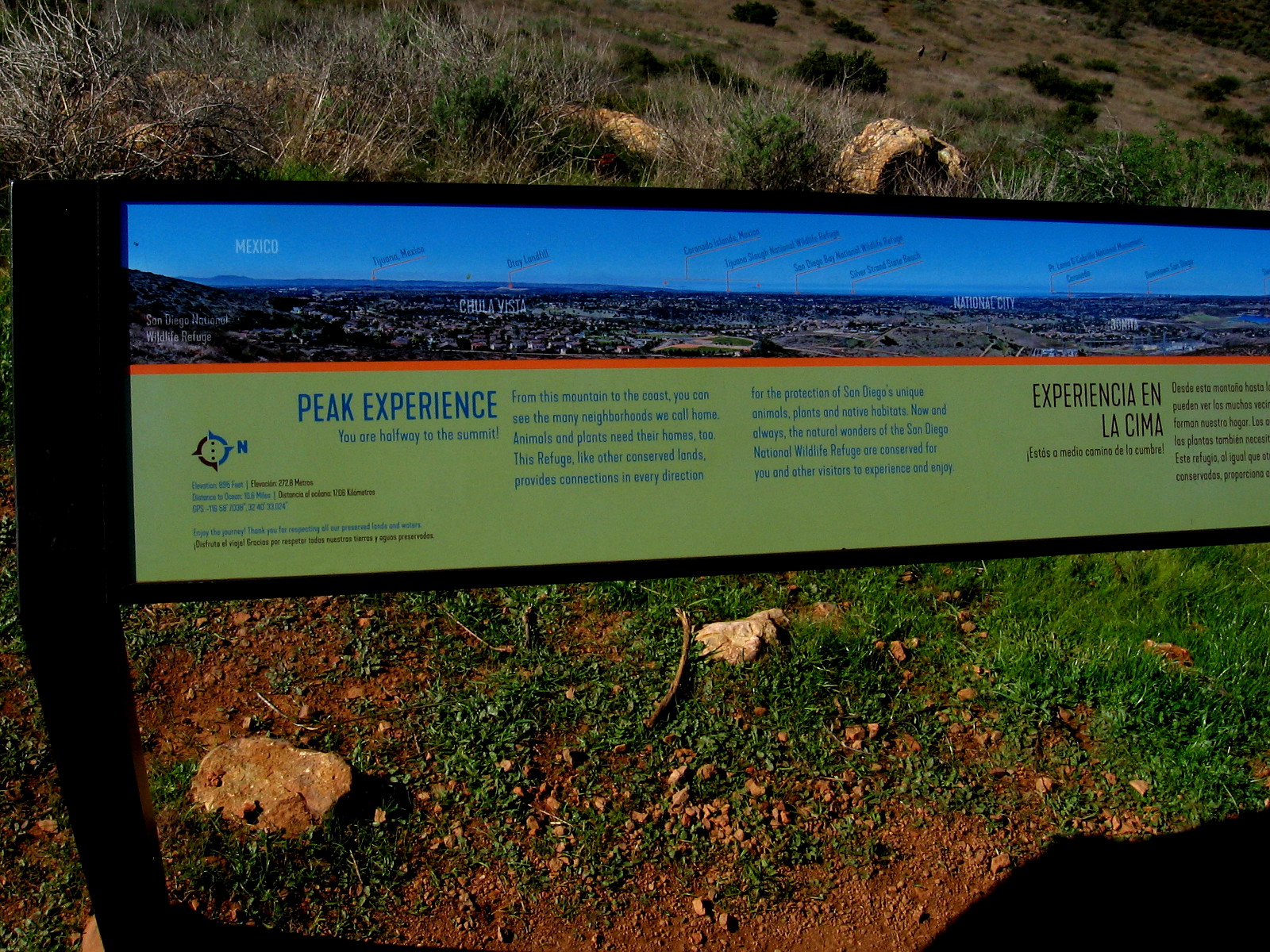
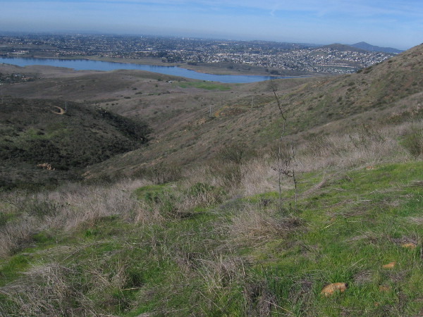
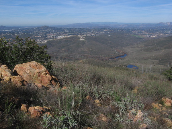
On a clear day you can see Mexico, San Diego Bay, Coronado, downtown, Point Loma, and various peaks including Otay Mountain, Mount Soledad, Cowles Mountain and Mt. Helix. Looking down to the south you can see Salt Creek Golf Course, which was closed a couple of years ago and will undergo future development.
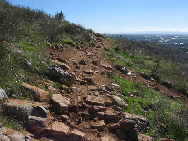
Fortunately it wasn’t very hot today, being early January. I just wore jeans, a simple shirt and some good shoes. Should you hike this steep rocky trail on a hot day, make sure to bring lots of water. There are virtually no trees and no shade. And it’s a constant very rocky climb. Pay attention to where you step and wear boots or shoes with a good grip!
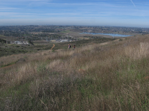
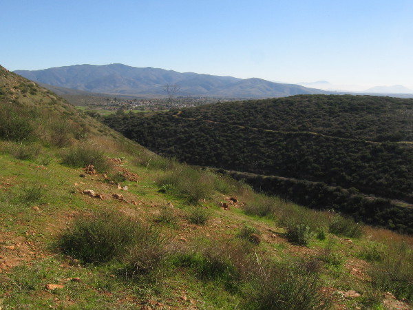
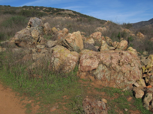
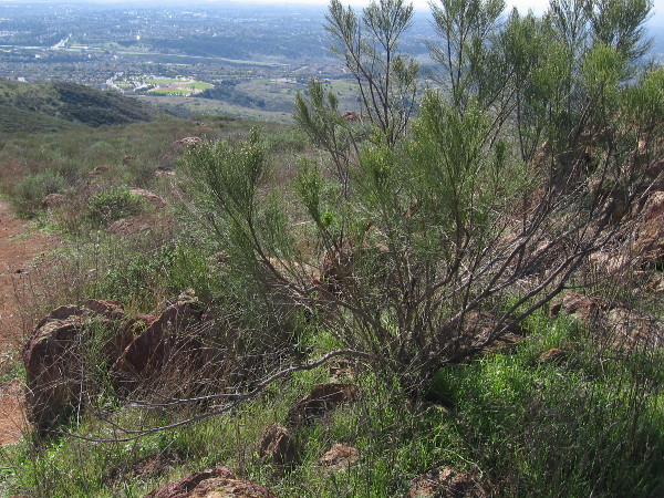
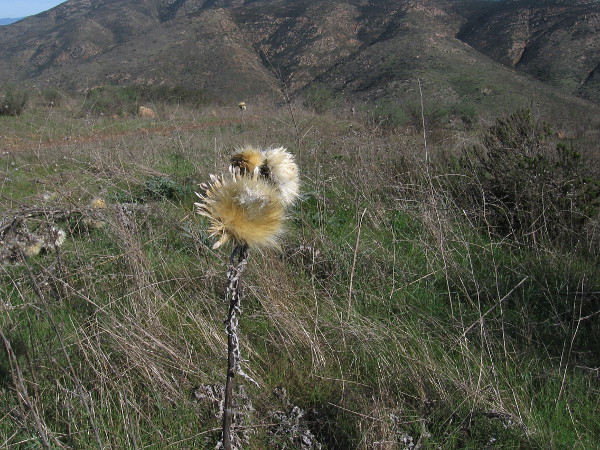
In addition to a fair number of other hikers and some mountain bikers, I saw half a dozen ravens circling above and below, a few cacti, lots of sagebrush and wild grass, and many crumbled rock outcroppings. To the northwest one can look down at Sweetwater Reservoir. And of course, there’s impressive nearby San Miguel Mountain, rising not far to the northeast.
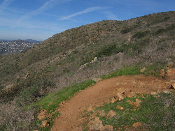
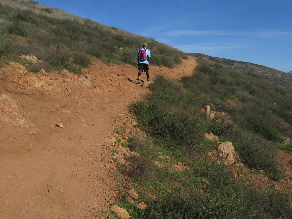
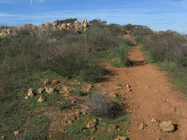
I started at the trailhead at the corner of Paseo Veracruz and Paseo Los Gatos and started up the Rock House Trail for the peak! It’s a moderately difficult 4.3 miles round trip with a 1,171 feet elevation gain. Follow the designated trail, which has many switchbacks.
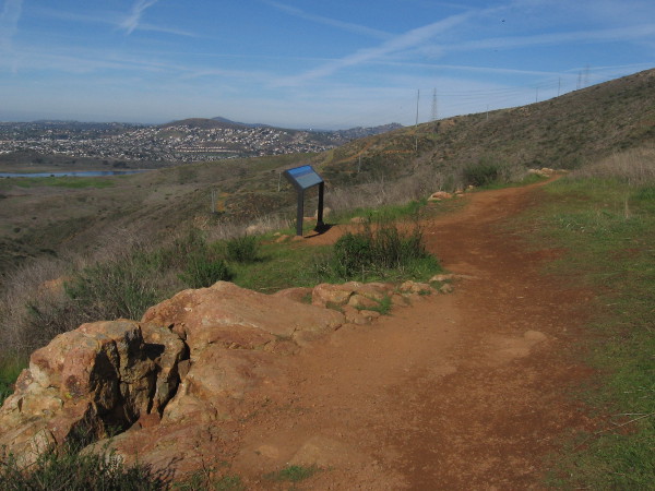
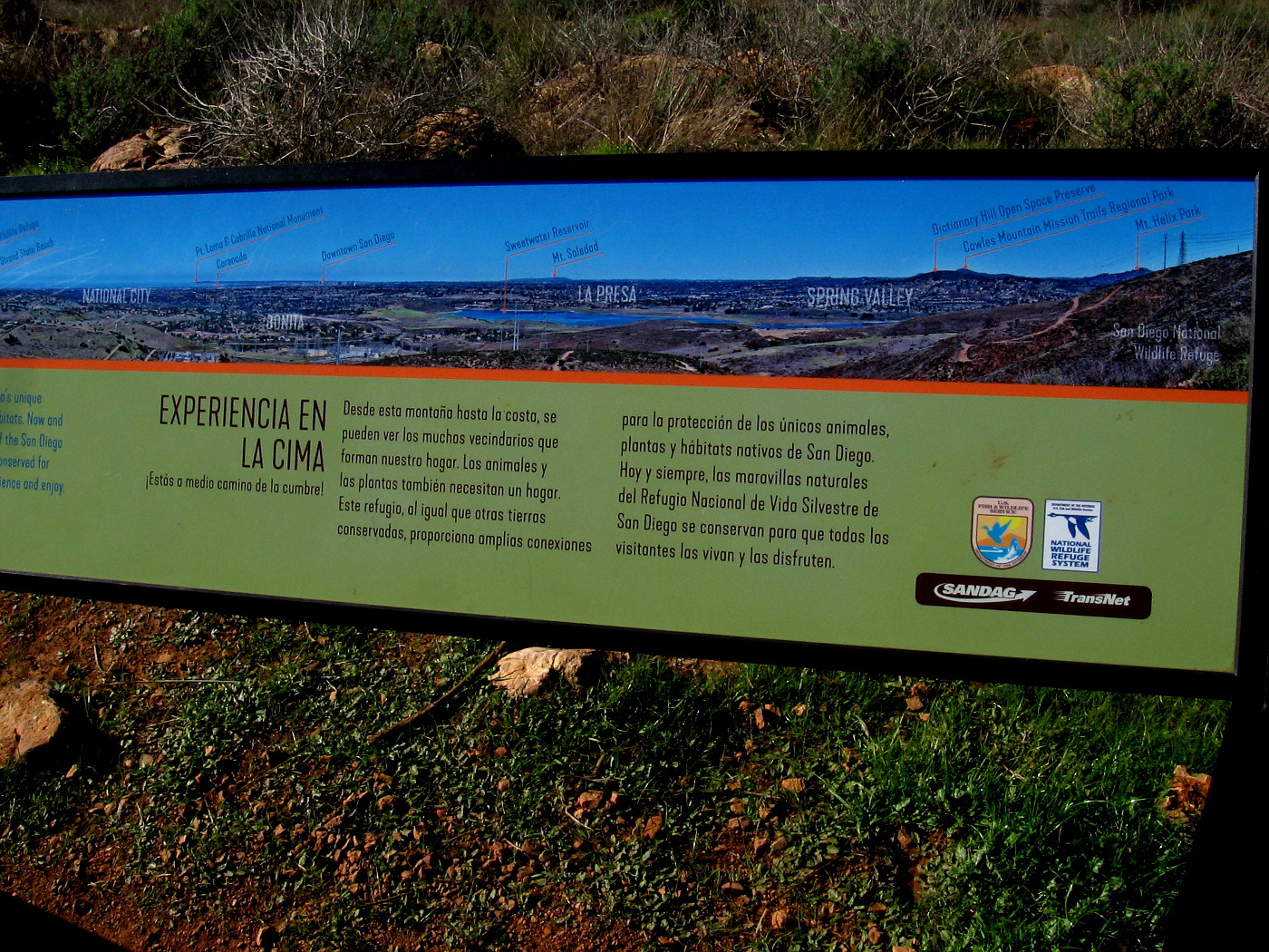
Halfway up you find a sign which points out and names many of the distant sights that are visible. From there, the trail gets steeper. (Those airplanes flying overhead are making their approach to San Diego International Airport which is near downtown!)
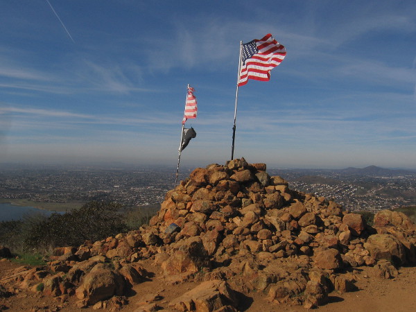
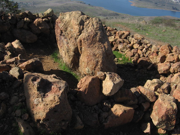
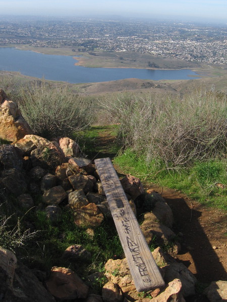
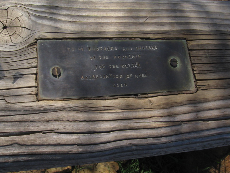
At the top of Mother Miguel Mountain is the Rock House: a large mound of rocks with several flags and an adjacent low stone open shelter. On all sides are scenic views. If you proceed a little beyond the Rock House, there’s a large outcropping and nearby crude wood bench with a small plaque. From it you can look toward the northeast and see distant El Cajon Mountain, often called El Capitan.
If you want to read the photos of signs, click the images and they will expand for easy reading.
Now come along with me and get a taste of this rewarding hike!
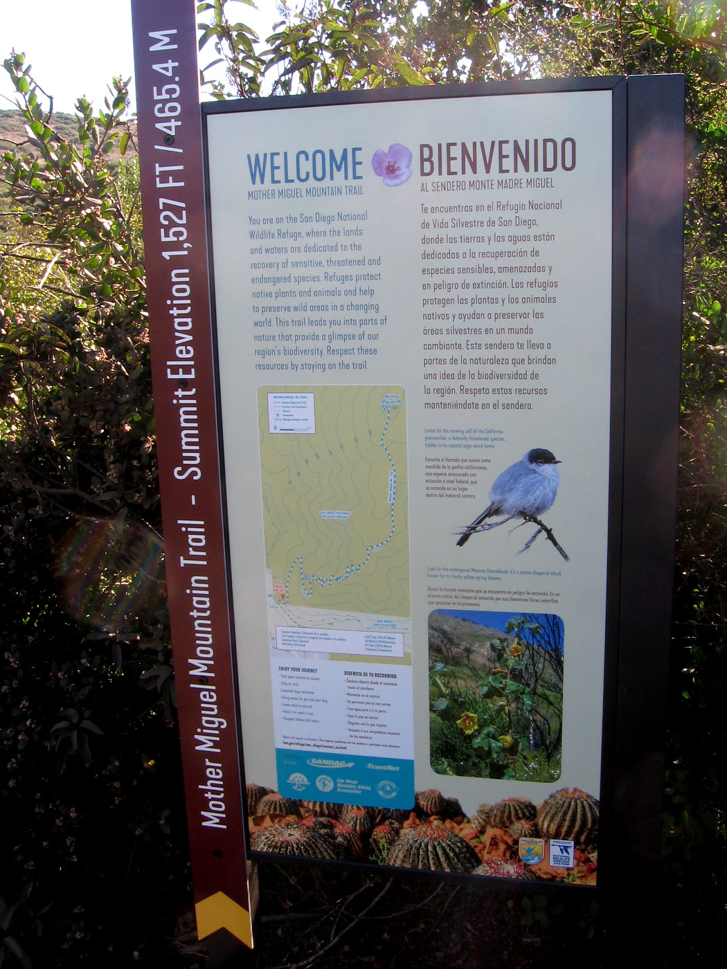
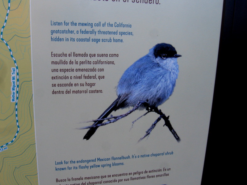
The Mother Miguel Trail Head Bulletin Board contains useful information and a topographic map for hikers.The Mother Miguel Mountain Trail is inside the San Diego National Wildlife Refuge. Stay on the designated trail to protect the habitat of many animal and plants species, some of which are endangered.Starting up the trail, which was muddy in spots. This winter it has been rainy in San Diego.One of two information signs, on opposite sides of a very small bridge spanning a tiny creek.Sign describes this part of San Diego National Wildlife Refuge and protecting natural biodiversity.The small California gnatcatcher makes its home on Mother Miguel Mountain.Second sign describes the Quino checkerspot butterfly, which is listed under the federal Endangered Species Act.A section of very rocky trail.Looking down after climbing for a bit. I could see downtown San Diego and Point Loma in the far distance.Sweetwater Reservoir appears below.
Another sign ahead.Left part of long sign, showing peaks and features from Mexico northward.Right part of sign shows sights to the northwest, as far away as Mount Soledad in La Jolla.
Looking southward toward the San Ysidro Mountains and Mexico.Looking back down the trail, you can see green Mount San Miguel Park with its sports fields, not far from the trailhead.The view of Sweetwater Reservoir keeps getting better as we climb.
You can see some of the now closed Salt Creek Golf Course to the southeast.San Miguel Mountain rises to the northeast.
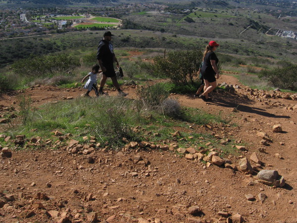
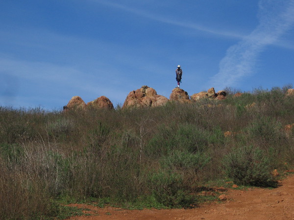
Someone stands on an outcropping just below the summit of Mother Miguel Mountain.Mount San Miguel Park is now far below.Flags show we’ve almost reached the Rock House atop Mother Miguel Mountain.We made it!A couple of hikers brought a blanket to rest on the grass beneath the sky.This rocky enclosure at the Rock House might provide a little bit of shelter on a windy day.
Continuing along, we approach another rock outcropping atop Mother Miguel Mountain.The view to the northeast includes part of the Cuyamaca Mountains.A simple wood plank serves as a bench. I was surprised to see it has a plaque.TO MY BROTHERS AND SISTERS OF THE MOUNTAIN FOR THE BETTER APPRECIATION OF HOME — 2016
…
I live in downtown San Diego and love to walk around with my camera! You can follow Cool San Diego Sights via Facebook or Twitter!
You can easily explore Cool San Diego Sights by using the search box on my blog’s sidebar. Or click a tag! There are thousands upon thousands of photos for you to enjoy!