Views from the Glorietta Bay Marina Building.

Looking southeast across beautiful Glorietta Bay Marina in Coronado.

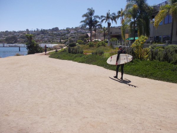
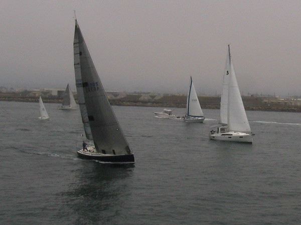
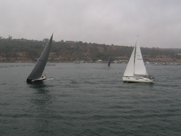
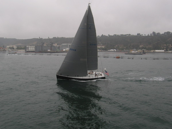
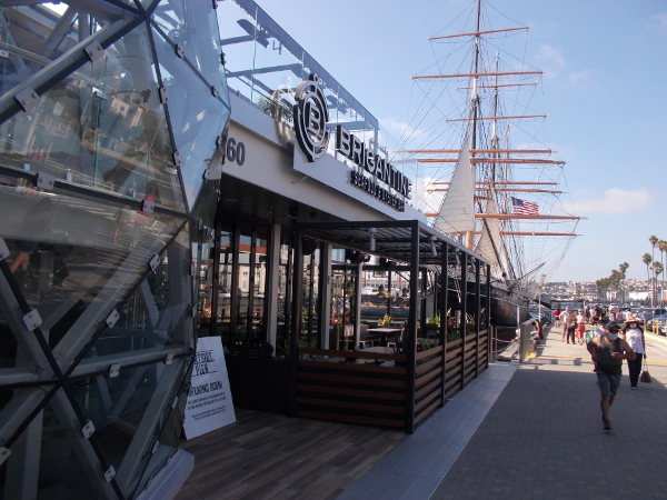
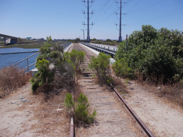
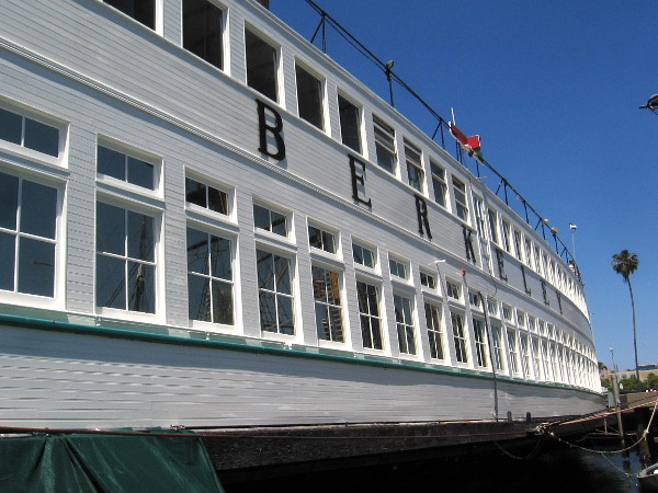
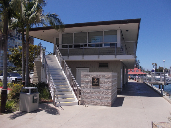
Check out these scenic views from the second level of the Glorietta Bay Marina Building in Coronado!

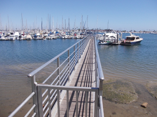
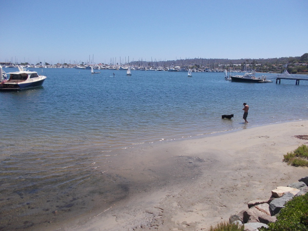
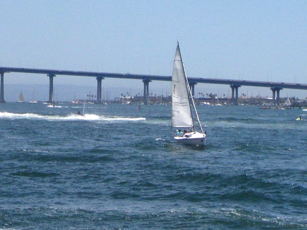
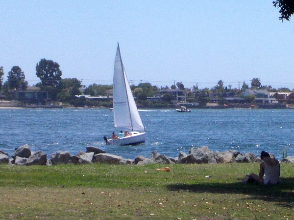
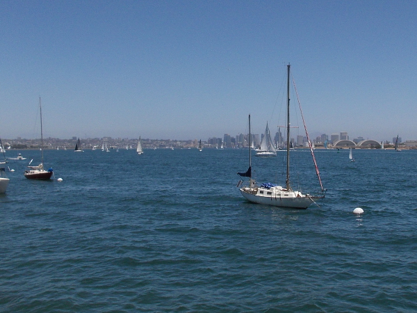
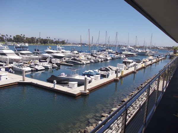
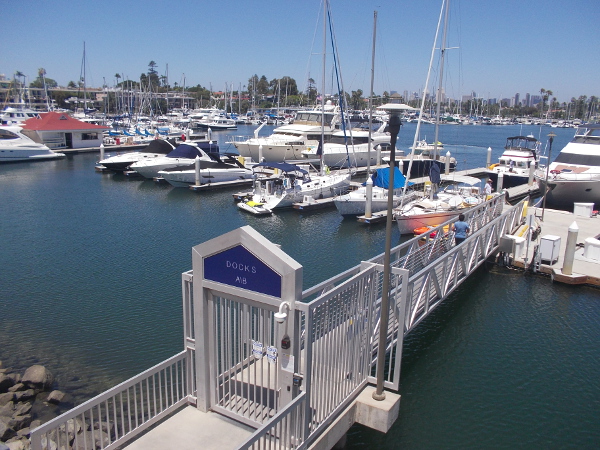
To the east you can see the many boats docked in Glorietta Bay, the green trees of Coronado Municipal Golf Course beyond, and tiny glimpses of distant downtown San Diego.

To the south lies the Coronado Civic Center and its Glorietta Bay Park Promenade. There’s some public art that way. See photos of a beautiful fountain here and crazy rooftop sculpture here.

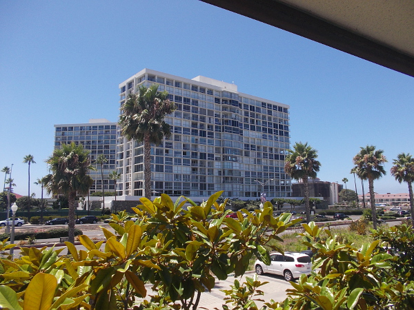
To the west rise the ten white Coronado Shores condominium towers.

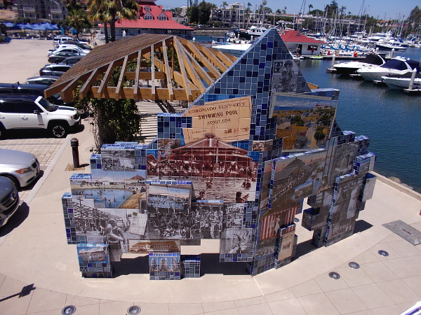
And finally to the north, you can see public art titled “Imagine Tent City” which I once blogged about here, plus the distinctive former Hotel Del Coronado Boathouse, with its Victorian architecture–now home to Bluewater Boathouse Seafood Grill.

The Glorietta Bay Marina Building was dedicated in 2009. Wonderful views surround it.
Plaque near stairs to outdoor second level of the Glorietta Bay Marina Building.
Looking northeast. In the distance rises part of San Diego's downtown skyline.
Looking northeast. In the distance rises part of San Diego’s downtown skyline.
Looking south toward Coronado's City Hall and Civic Center.
Looking south toward Coronado’s City Hall and Civic Center.
Two of the Coronado Shores towers to the east. Just beyond, unseen, lies the Pacific Ocean.
Two of the Coronado Shores towers to the west. Just beyond, unseen, lies the Pacific Ocean.
To the north you can see Coronado public art titled Imagine Tent City.
And you can also see the Hotel Del's historic Victorian boathouse.
And you can also see the Hotel Del’s historic Victorian boathouse.

I live in downtown San Diego and love to walk around with my camera! You can follow Cool San Diego Sights via Facebook or Twitter!

You can easily explore Cool San Diego Sights by using the search box on my blog’s sidebar. Or click a tag! There are thousands upon thousands of photos for you to enjoy!

A walk down the Bessemer Path in Point Loma.

A surfer begins southwest down Point Loma’s Bessemer Path beside San Diego Bay.

Yesterday I enjoyed a leisurely walk down the scenic Bessemer Path in Point Loma. The dirt trail follows the edge of San Diego Bay between Talbot Street and Qualtrough Street.

As other walkers and bicyclists passed me, I looked out at boats in the La Playa Anchorage behind Shelter Island, at people and dogs enjoying several small beaches, and the yards of handsome houses with a view of the water.

I took photos as I walked. I began at the northeast end of Bessemer Path near the San Diego Yacht Club and a bench with an historical marker, which I blogged about yesterday. If you want to see the marker and its plaque, which concerns an old Chinese village that was located here over a century ago, click this link.

When my feet finally reached the short pier of the La Playa Yacht Club, which extends into San Diego Bay at the southwest end of the Bessemer Path, I lowered my camera and enjoyed an easy return walk.

Someone rides along the path one beautiful summer day.

Looking out at boats in the La Playa Anchorage near the San Diego Yacht Club.
One of several small beaches along the Bessemer Path.
One of several small beaches along the Bessemer Path. I saw sailboats moving across the water.

I saw many bicyclists.
The Conard-Arrington House built in 1949. This ranch style home, designed by Roy Drew, is City of San Diego Historical Landmark No. 460.
Trees ahead.
Trees ahead.
Some shade near the end of the path.
A swing in a tree.
A swing in one tree.
A girl sits in a window in the tree.
A heron watches for small fish in the nearby water.
Beyond the trees, a heron watches for small fish in the water.
A fisherman in a yellow slicker sits on a rock in the ice plant.
And a fisherman in a yellow slicker sits on a rock in the ice plant.
The short pier of the modest La Playa Yacht Club. Beyond lie boats of the much larger Southwestern Yacht Club.
I’ve reached the short pier of the modest La Playa Yacht Club. Beyond lie boats of the much larger Southwestern Yacht Club.

I live in downtown San Diego and love to walk around with my camera! You can follow Cool San Diego Sights via Facebook or Twitter!

Marker recalls Chinese fishing village on Point Loma.

Historical plaque and artwork at east end of Point Loma's Bessemer Path mark Chinese Fishing and Shipbuilding Site.
Historical plaque and artwork at east end of Point Loma’s Bessemer Path mark an old Chinese Fishing and Shipbuilding Site.

Today I went on a walk along Point Loma’s Bessemer Path, which stretches a short distance along San Diego Bay northwest of Shelter Island. The bayside path offers scenic views of the La Playa Anchorage. I’ll share pictures from this beautiful walk in a little bit.

At the east end of the Bessemer Path, near the intersection of Talbot Street and Anchorage Lane, there’s a bench and historical marker with a plaque, and some artwork in the sidewalk. Together they recall the Chinese village that once was located at this site, on the old La Playa Trail. (You can learn more about the La Playa Trail, the oldest commercial trail in the western United States, here.)

I photographed the plaque which you can read if you’re interested. Click the image and it will enlarge.

I learned that a shipbuilding facility was located at this old Chinese village, where fishing junks were constructed. According to the plaque: “The Sun Yun Lee, shown here, was the finest junk built in all of California. Launched in 1884 on this site, the vessel had three masts and measured 52 feet in length, and 18 feet wide. It was build of redwood with masts and rudders made of ironwood from China…”

You can a little learn more about the Sun Yun Lee and see an historical photo of the Chinese junk in San Diego Bay here.

Plaque describes Point Loma's Chinese Fishing and Shipbuilding Site beside the La Playa Trail. Around 1860 to the early 1890's, the Chinese had a fishing village here.
Plaque describes Point Loma’s Chinese Fishing and Shipbuilding Site, located on the La Playa Trail. Around 1860 to the early 1890’s, the Chinese had a fishing village here.
Artwork in the sidewalk depicts the three-masted Chinese junk Sun Yun Lee, that was built on Point Loma in 1884.
Artwork in the sidewalk depicts the three-masted Chinese junk Sun Yun Lee, which was built on Point Loma in 1884.

I live in downtown San Diego and love to walk around with my camera! You can follow Cool San Diego Sights via Facebook or Twitter!

You can easily explore Cool San Diego Sights by using the search box on my blog’s sidebar. Or click a tag! There are thousands upon thousands of photos for you to enjoy!

Sails dance in the hazy gray.

It was hazy and gray as we cruised back into San Diego Bay at the end of our whale watching trip. Many sailboats were heading out to the ocean.

When I looked at these photos, the sailboats appeared to be engaged in a dreamy dance of light and darkness.

I live in downtown San Diego and love to walk around with my camera! You can follow Cool San Diego Sights via Facebook or Twitter!

The new Portside Pier is ready to open!

The latest addition to San Diego’s beautiful Embarcadero is about to open. The new Portside Pier, a 4-in-1 restaurant and public observation deck operated by Brigantine, is set to open this Tuesday, July 28!

I’ve been watching the construction of this unusual dockside building for well over a year. You might recall I posted some photos late last year here. The Portside Pier is located directly next to the Maritime Museum of San Diego’s historic tall ship Star of India.

This new bayside eatery replaces the much-beloved Anthony’s Fish Grotto, where many San Diegans enjoyed great seafood meals and a view of the sparkling bay for 70 years. Before it was demolished, I blogged about good old Anthony’s Fish Grotto here and here. I blogged about its demolition here!

Portside Pier features four eateries: Brigantine Seafood and Oyster Bar, Miguel’s Cocina, Ketch Grill & Taps, and Portside Coffee & Gelato. The new structure has a fair amount of outdoor seating, which I suppose allows them to open during the current coronavirus pandemic restaurant restrictions.

I look forward to walking up onto the public observation deck and grabbing something to eat in the near future!

I live in downtown San Diego and love to walk around with my camera! You can follow Cool San Diego Sights via Facebook or Twitter!

You can easily explore Cool San Diego Sights by using the search box on my blog’s sidebar. Or click a tag! There are thousands upon thousands of photos for you to enjoy!

Walking part of the Sweetwater River Bikeway.

View of Interstate 5 over the Sweetwater River from the Gordy Shields Bayshore Bikeway Bridge.

In my last blog post, I shared some photos that I took during yesterday’s walk along part of the Sweetwater River Bikeway. Those surprisingly artistic images were from the path beneath Interstate 5.

Now I’ll share additional photographs from my walk.

I began at the trailhead at the south end of Hoover Avenue. Once I reached the Sweetwater Bikeway, I headed west along the river, with a short detour to check out the Gordy Shields Bayshore Bikeway Bridge.

If you recognize Paradise Marsh and those overgrown old railroad tracks, that might be because a couple years ago I posted photos of them a little farther north here.

I walked onto the Sweetwater Bikeway from the trailhead at Hoover Avenue and W. 33rd Street in National City.
Turning a corner, about to go under a ramp from I-5 to U.S. Route 54.
Here comes a Blue Line San Diego trolley!
About to find myself on the Sweetwater River Bikeway.
I begin walking west toward various bridges.
This guy and his bike found some summer shade by the water.
If you continue west, you eventually reach Pepper Park.
Bicyclists on Sweetwater Bikeway about to go under Interstate 5.
I took a bunch of cool photos under the freeway and shared them on my previous blog post!
The head of a bicyclist is visible coming down the Gordy Shields Bayshore Bikeway Bridge.
I turn for a moment to look back east.
The Gordy Shields Bridge is dedicated to a civic leader who advocated for bicycling.
Now I'm walking south on the bike bridge, heading over the Sweetwater River channel.
Now I’m walking south on the bike bridge, heading over the Sweetwater River channel.
Looking east at traffic on Interstate 5.
A guy on a skateboard passed me.
Looking west down the Sweetwater River channel toward San Diego Bay. That's Pier 32 Marina on the right.
Looking west down the Sweetwater River channel toward San Diego Bay. That’s an old train bridge. That’s the Pier 32 Marina beyond it on the right.
Someone made this cool peace sign out of some artificial wreath material.
Another look east. That peak in the distance is San Miguel Mountain.
Freeway ramp swings south over part of San Diego Bay National Wildlife Refuge.
Sign at intersection of Bayshore Bikeway and Sweetwater River Bikeway.
I’m back by the water’s edge. A sign at the intersection of the Bayshore Bikeway and Sweetwater River Bikeway.
Biking west along the river channel.
Continuing west. Lots of bikes out today!
Continuing west. Lots of bikes out for the weekend!
Looking north at Paradise Marsh, part of San Diego Bay National Wildlife Refuge.
Part of Paradise Creek, which winds its way through the protected marshland.
Paradise Marsh is a refuge for many local and migratory birds.
These old train tracks pass south over the Sweetwater River on a bridge that is no longer in use.

At this point the Sweetwater Bikeway turns away from the river and starts around the Pier 32 Marina.

That’s all for now!

I live in downtown San Diego and love to walk around with my camera! You can follow Cool San Diego Sights via Facebook or Twitter!

You can easily explore Cool San Diego Sights by using the search box on my blog’s sidebar. Or click a tag! There are thousands upon thousands of photos for you to enjoy!

Sunday afternoon’s bright sails and kites!

Many bright dreams took flight this Sunday afternoon. I saw them in the sky above San Diego Bay.

The sails of tacking boats were flapping in the breeze.

Colorful kites were swaying back and forth, tugging eagerly at their strings high above Embarcadero Marina Park North.

I live in downtown San Diego and love to walk around with my camera! You can follow Cool San Diego Sights via Facebook or Twitter!

A fun idea for Fourth of July weekend!

Looking for something fun to do this Fourth of July weekend? Are you disappointed that most public events have been cancelled due to the coronavirus pandemic? I’ve got a great idea!

Head downtown to the Embarcadero and enjoy an hour or two at the Maritime Museum of San Diego! You know, that cool attraction on the bay with the tall-masted ships, including world-famous Star of India. They’re going to be open all weekend long!

I visited the museum this afternoon (I’m a member) and learned they reopened yesterday. Given the changing nature of the COVID-19 pandemic, they and other local museums might be ordered to close again as soon as next week if cases continue to rise in San Diego. So now might be your best chance to visit this year.

Much of your museum adventure will be spent in the healthy, sunny outdoors, exploring the Maritime Museum’s beautiful, historic ships. I noticed that plenty of measures have been taken to ensure everyone’s safety. Make sure to bring your face covering–it’s required.

Sadly, you will not be allowed to enter inside the two submarines, or step aboard the HMS Surprise, because of her ongoing redecking. But there’s plenty else to see and experience!

Those of you who follow my blog know that the Maritime Museum of San Diego is one of my favorite destinations. If you like history and the sea, and standing over the bright water, gazing up at white sails while imagining you’re on a journey across the wide blue ocean, you might love it, too!

I live in downtown San Diego and love to walk around with my camera! You can follow Cool San Diego Sights via Facebook or Twitter!

The beauty of nature on the coastal strand.

The coastal strand lies just above the high tide line of a beach. While its appearance might be sandy, dry and scraggly, look closely and you’ll find plenty of nature’s endless beauty.

Last Saturday I walked around Silver Strand State Beach.

Entrance station at Silver Strand State Beach.
The blue Pacific Ocean stretches beyond the seemingly barren western shore of the Silver Strand. Point Loma and a cruise ship can be seen in the distance.
The flowers of beach suncup, or evening primrose, are like bright gems on the sand.
The Western Snowy Plover depends on kelp and seagrass washed ashore, feeding on insects. Their young are hatched in the sand. Fences keep the feet of people away.
The Western Snowy Plover depends on kelp and seagrass washed ashore, feeding on insects. Their young are hatched in the sand. Fences keep the feet of beachgoers away.
Walking along the San Diego Bay side of the State Park.
Coastal strand plants begin to grow past the tide line. Winds and waves sculpt the sands in this dynamic, yet fragile habitat.

San Diego black-tailed jackrabbits are frequently seen in the dry coastal sage scrub of Silver Strand State Beach.
How many rabbits can you see? They are well adapted to this environment.

I live in downtown San Diego and love to walk around with my camera! You can follow Cool San Diego Sights via Facebook or Twitter!

Life returns to Shelter Island!

A busy Sunday at the Shelter Island Launch Ramp.

Life has returned to Shelter Island! How quickly circumstances change!

For several months, during the coronavirus pandemic lockdown, San Diego Bay was an inactive blank–virtually no boats, almost no people along its shoreline. But now that society is well along in the process of reopening, appearances have radically changed!

I took a walk around the Shelter Island today. It looked like a typical Sunday in June. People picnicked on the grass, fished from the pier, and launched their boats into the bay.

The playground was closed and some people wore facial protection, but otherwise it felt like just another summer day…

As life returns to Shelter Island, a line forms at the boat ramp.
Various types of boats are gathered inside the recently renovated launching basin.
Various types of boats are gathered in the recently renovated launching basin.
This boat is heading out into San Diego Bay.
These guys are coming in. Pelicans stand on the rail across the water.
A cool little wooden sailboat sets out into the bay.
Still working to get that sail up!
A sea lion goes from boat to boat hoping for fishing bait leftovers.
I believe this might be Wally the sociable sea lion. I blogged about him a couple times before. He hangs out here.
Today is Flag Day, so this sign works perfectly.
The huge Stars and Stripes racing yacht is passing the Shelter Island Pier. I haven't seen it on the bay for a very long time.
The huge Stars and Stripes racing yacht is passing the Shelter Island Pier. I haven’t seen it out on the bay for what seems a very long time.
The pier is filled almost end to end with people.
This gull has landed atop a box at the foot of the pier. It would probably like some leftovers from Fathom Bistro, Bait and Tackle.
This gull has landed atop a box at the foot of the pier. It would probably like some scraps from Fathom Bistro, Bait and Tackle.
A perfect sunny day on the Shelter Island Pier. Across the bay you can see North Island Naval Air Station.
Somebody caught a little mackerel!
Lots of sails in the distance. Beyond them rises downtown San Diego's skyline.
Lots of sails in the distance. Beyond them rises downtown San Diego’s skyline.
Another sail seen from one of the lath shelters along Shelter Island’s Shoreline Park.
Walking, bicycling, sailing... What could be better?
Walking, bicycling, sailing… What could be better?
A bright sailboat about to pass Scripps Institution of Oceanography research vessel Sally Ride. You might remember I took a tour of her when she debuted and blogged about it!
A sailboat about to pass Scripps Institution of Oceanography research vessel Sally Ride. I took a tour of her when she debuted and I blogged about it!

If you want to see what it’s like inside the oceanographic research vessel R/V Sally Ride, which is in the above photo, click here!

I live in downtown San Diego and love to walk around with my camera! You can follow Cool San Diego Sights via Facebook or Twitter!