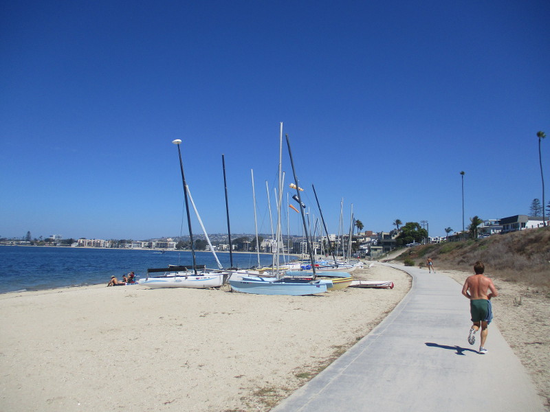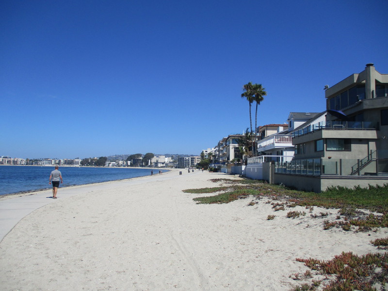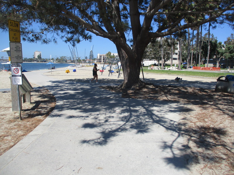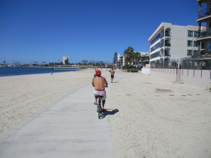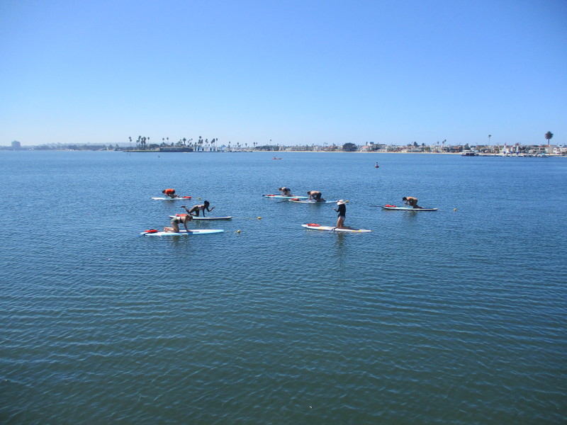
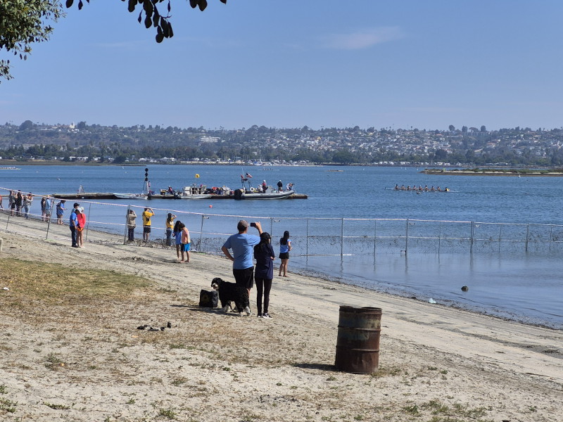
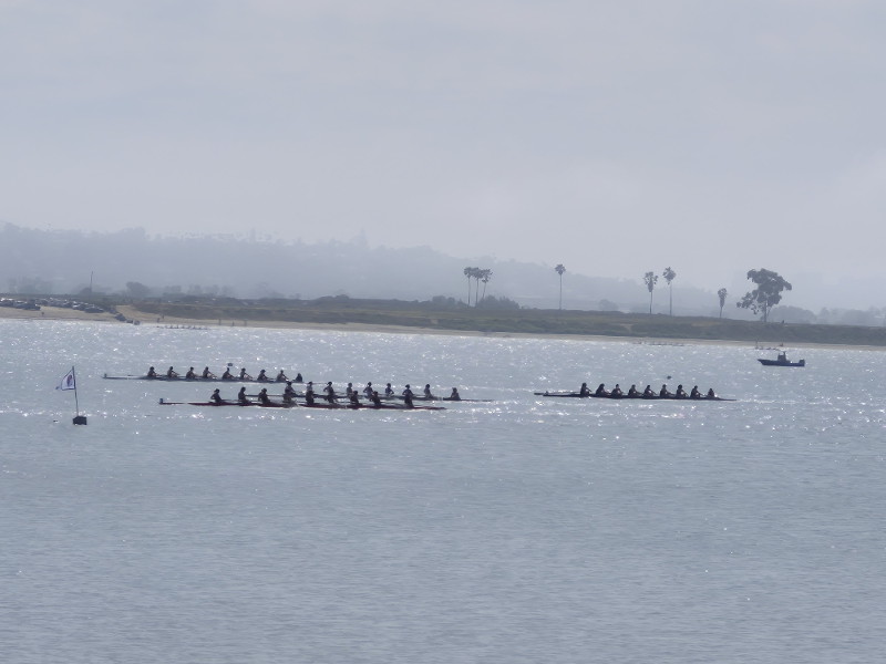
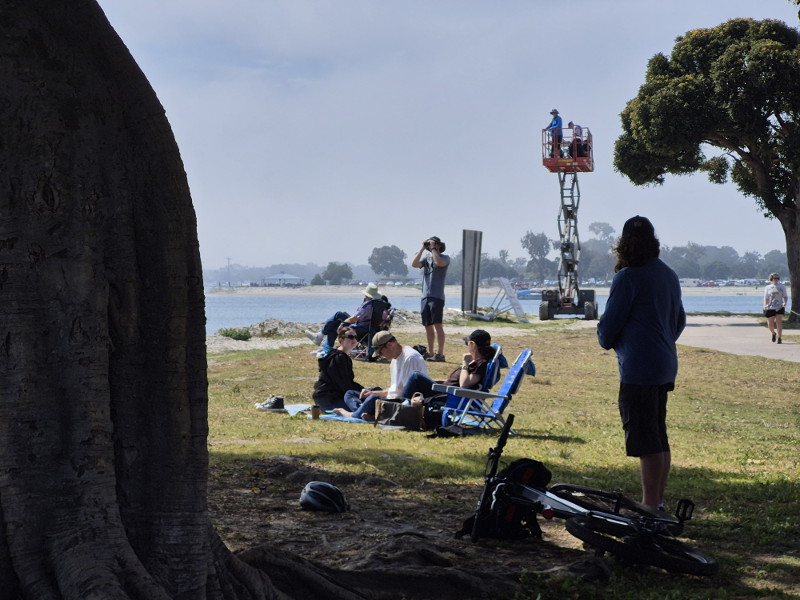
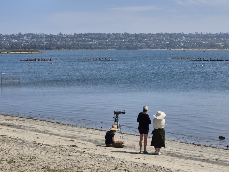
Late this morning I spent some time watching the final day of the 53rd San Diego Crew Classic on Mission Bay. I was walking near Ski Beach when I saw the rowers, so I crossed over to Crown Point and looked on from afar with other members of the public who hadn’t purchased a ticket.
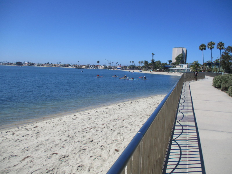
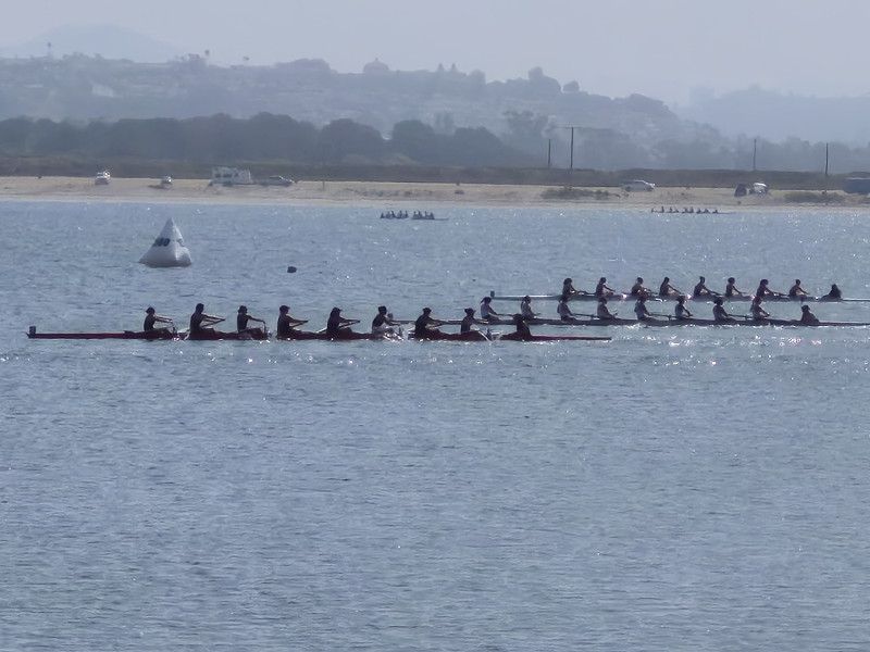
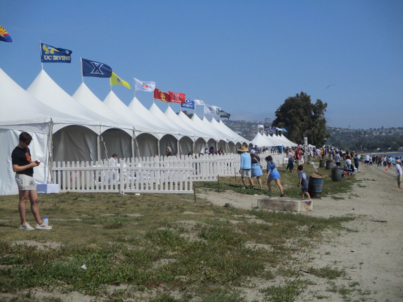
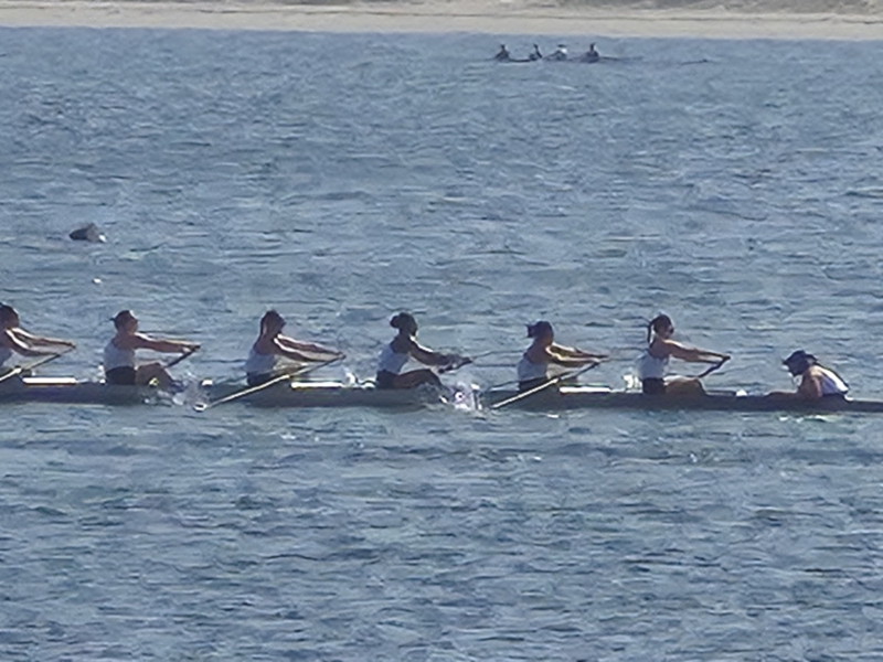
With my fuzzy zoom photos you can see the extreme effort of the competing rowers. They were really putting their backs and arms into it! The San Diego Crew Classic in 2026 featured over 100 teams from across the country, including premier collegiate, junior and masters rowing programs. The Crew Classic is one of the nation’s most prominent competitions of its kind.
The college teams, including Texas, Washington, Cal, UCLA, and San Diego State, are among the best of the best!
Even though the racing was held at some distance from where we watched, the excitement was very real!
If you want to learn more about the big event and view the results, check out the Crew Classic website here.
…
To follow my blog, find the “Follow” box in this website’s sidebar. Or bookmark coolsandiegosights.com and swing on by occasionally!
(If you’re viewing this on a phone, open my website’s sidebar by tapping those three parallel lines at the top of the page.)