Beauty and history on Torrey Pines Park Road.

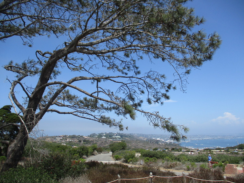
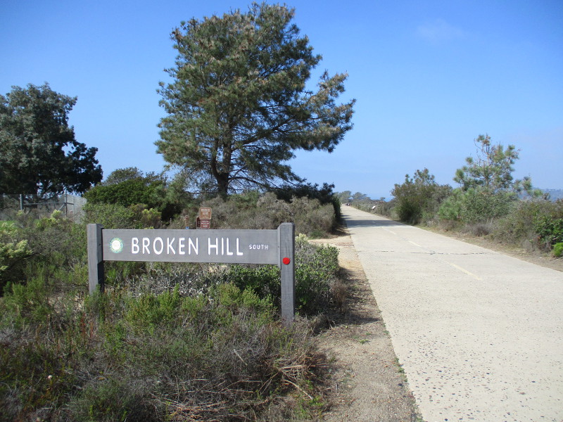
Explore the south end of Torrey Pines Park Road at Torrey Pines State Natural Reserve and you’ll discover breathtaking beauty and fascinating history.

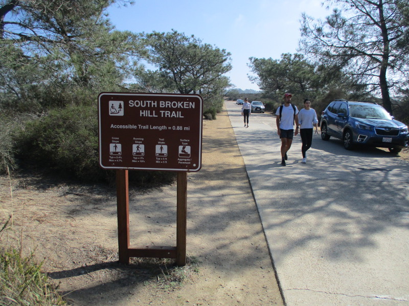
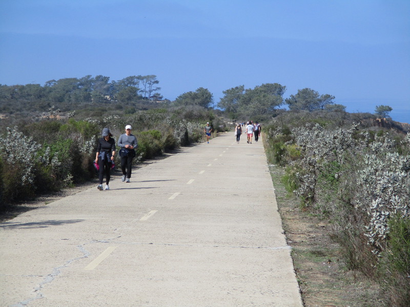
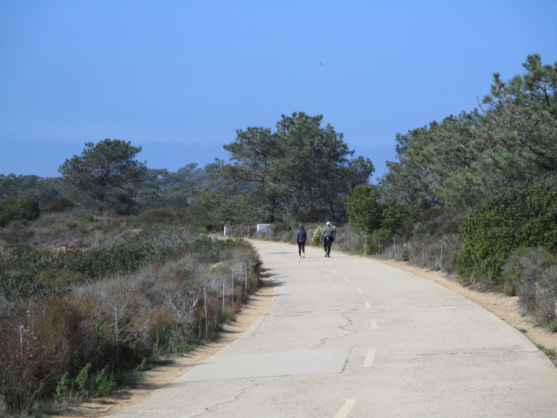
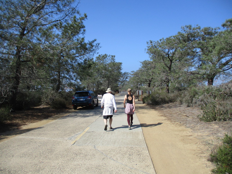
Last weekend I walked north along the paved trail, which a century ago was part of the main road from San Diego to Los Angeles. The following photographs begin near Torrey Pines Golf Course and end just short of the Visitor Center at Torrey Pines State Reserve’s old Lodge. The historic road, closed to vehicle traffic, is how hikers access Broken Hill Trail, which winds through a rugged landscape down to the beach.

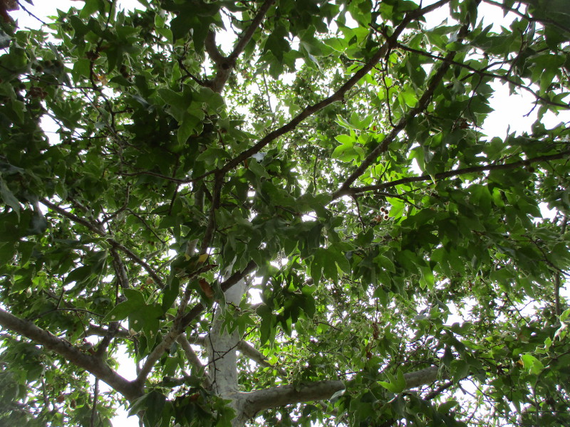
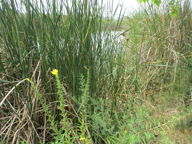
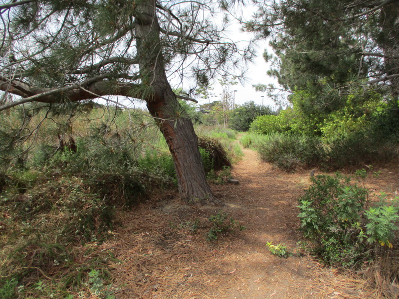
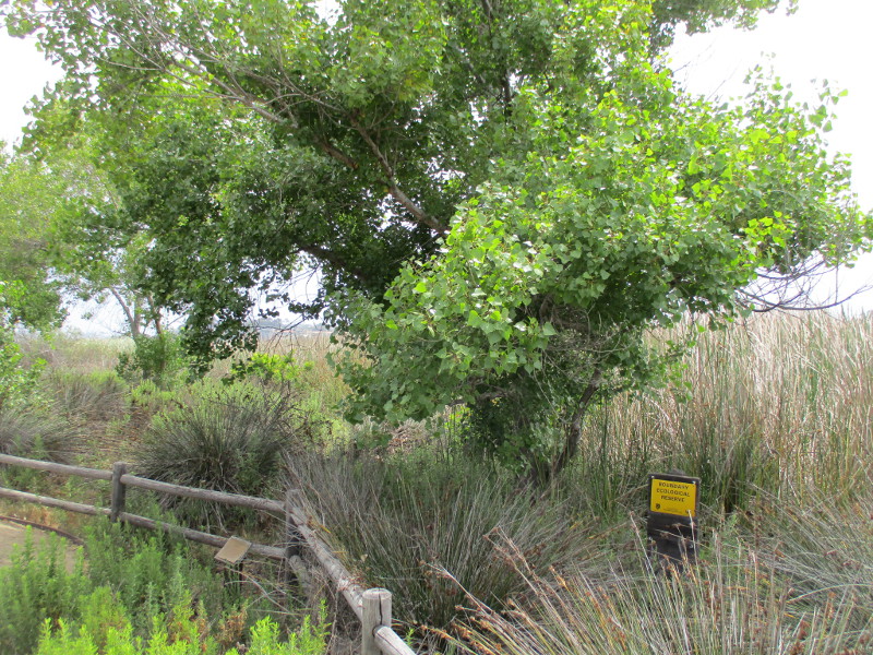
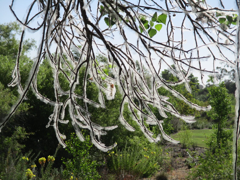
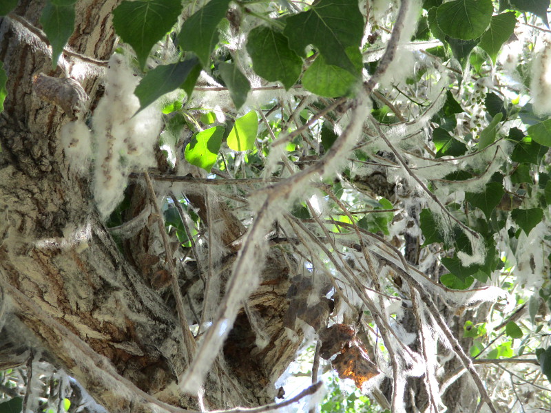
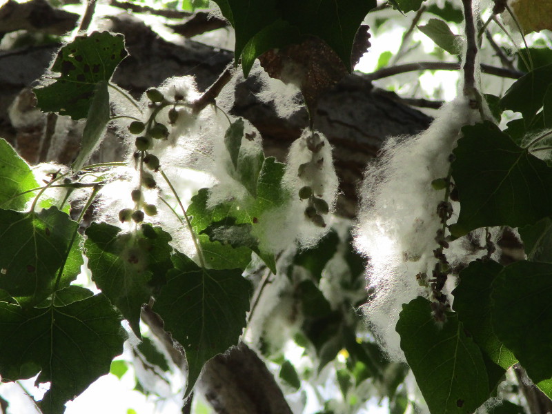
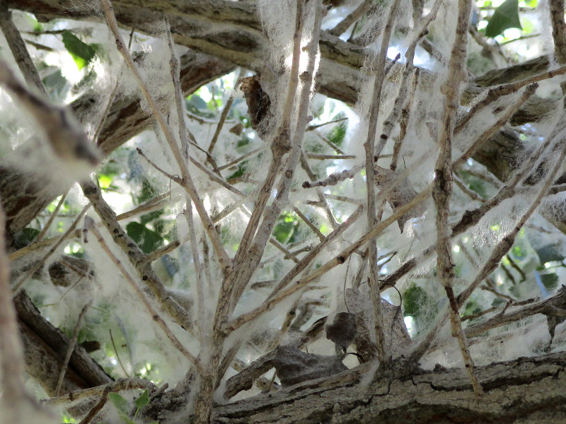
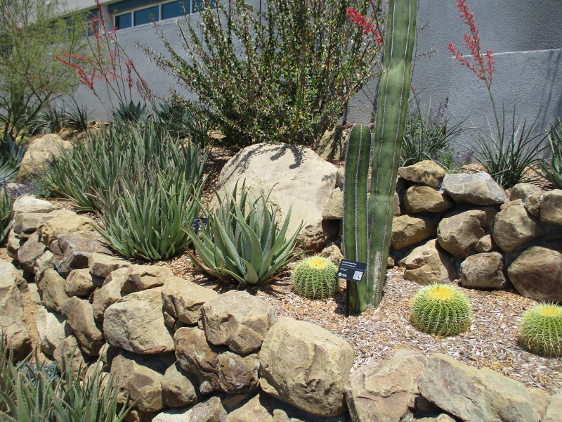
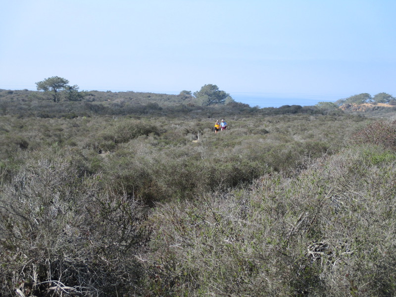
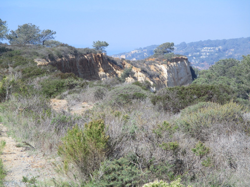
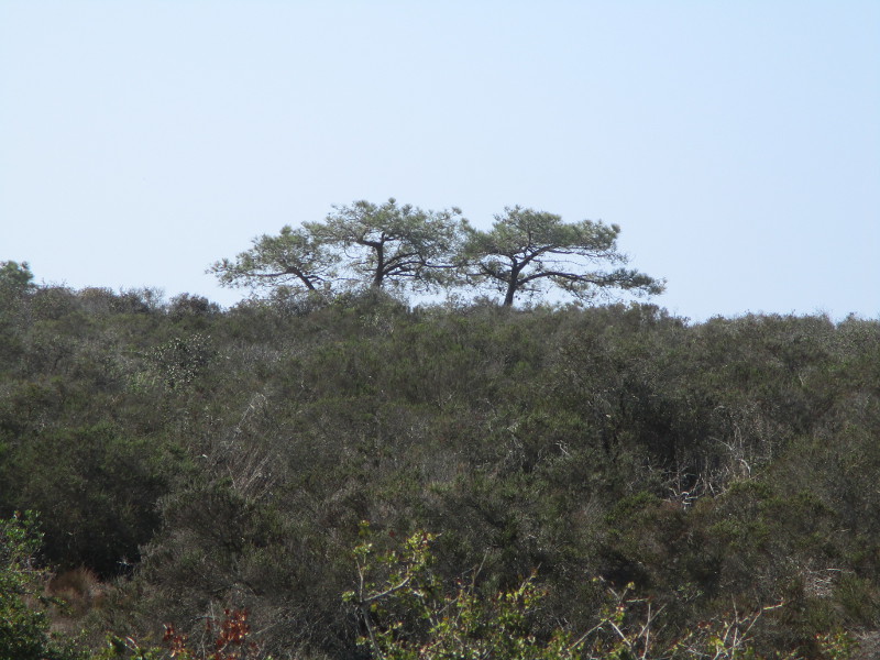
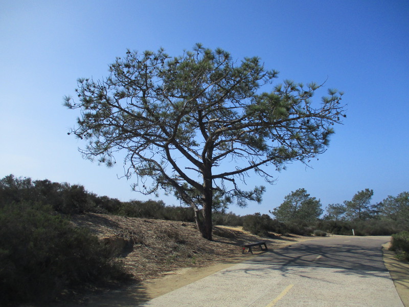
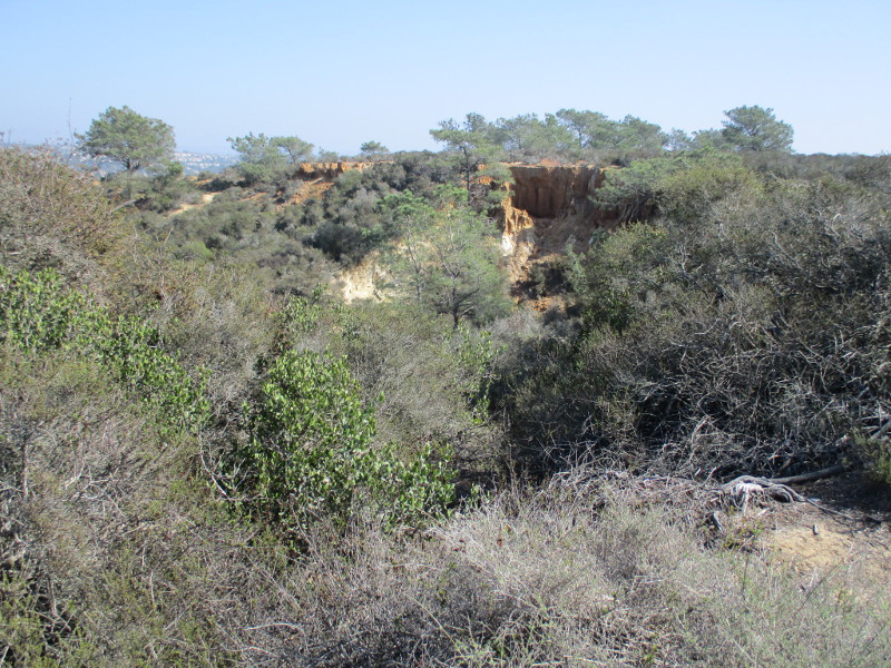
In my photos you’ll see native coastal sage scrub and chaparral plants, rare Torrey pine trees, the Pacific Ocean in the distance to the west and sandstone cliffs overlooking North Torrey Pines Road to the east. Signs along the way speak of the history of this place.

Come along as I walk down old Torrey Pines Park Road on a sunny November day!

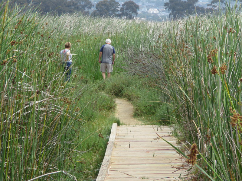
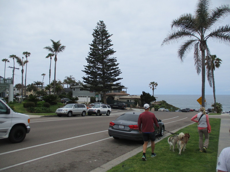
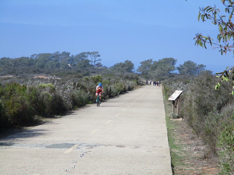
Other walkers and bicyclists were also enjoying a fun adventure.

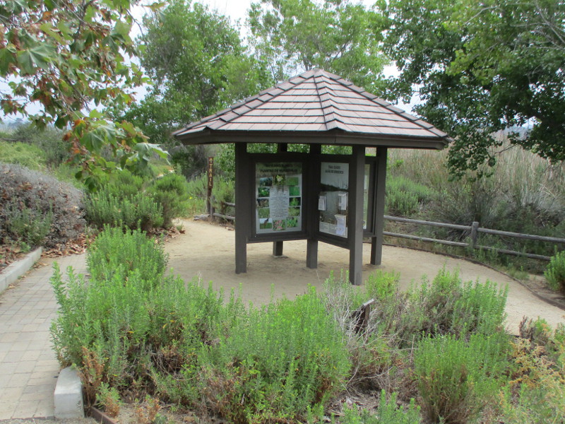
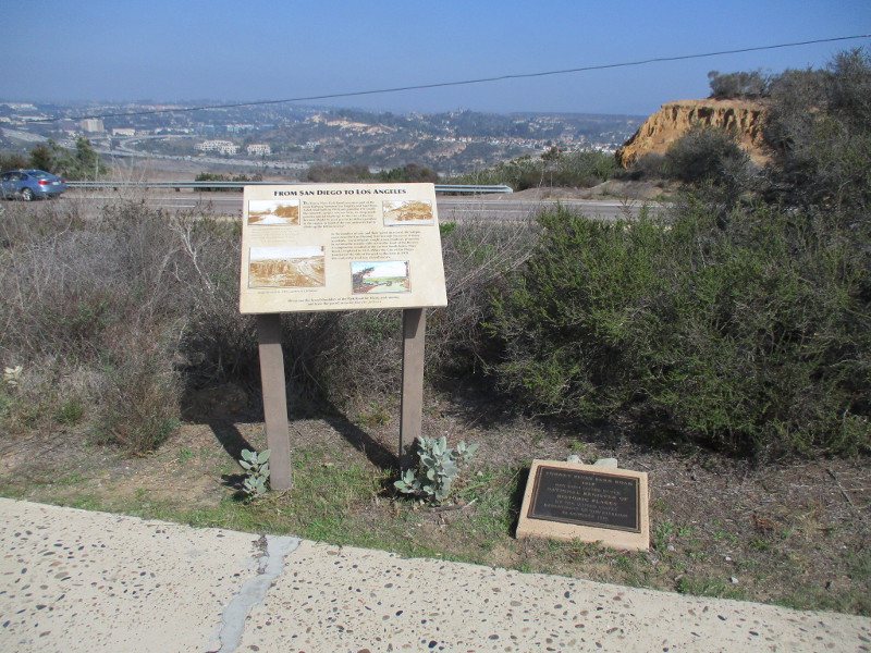
To the east beyond an information sign and historical marker one can see North Torrey Pines Road, Carmel Valley and Interstate 5.

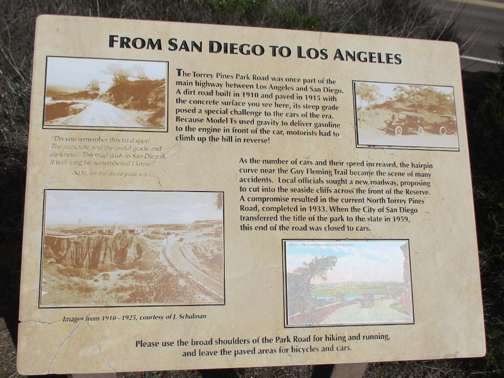
FROM SAN DIEGO TO LOS ANGELES

The Torrey Pines Park Road was once part of the main highway between Los Angeles and San Diego. A dirt road built in 1910 and paved in 1915 with the concrete surface you see here, its steep grade posed a special challenge to the cars of the era. Because Model Ts used gravity to deliver gasoline to the engine in front of the car, motorists had to climb up the hill in reverse.

As the number of cars and their speed increased, the hairpin curve near the Guy Fleming Trail became the scene of many accidents. Local officials sought a new roadway, proposing to cut into the seaside cliffs across the front of the Reserve. A compromise resulted in the current North Torrey Pines Road, completed in 1933. When the City of San Diego transferred the title of the park to the state in 1959, this end of the road was closed to cars.

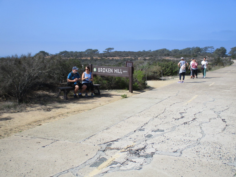
The steep hill and its hairpin curves mentioned in the sign are north of the Lodge, beyond this particular walk. Cars entering the park still use it.

If you’d like to see past photos of the Guy Fleming Trail which is also referenced in the sign, click here!

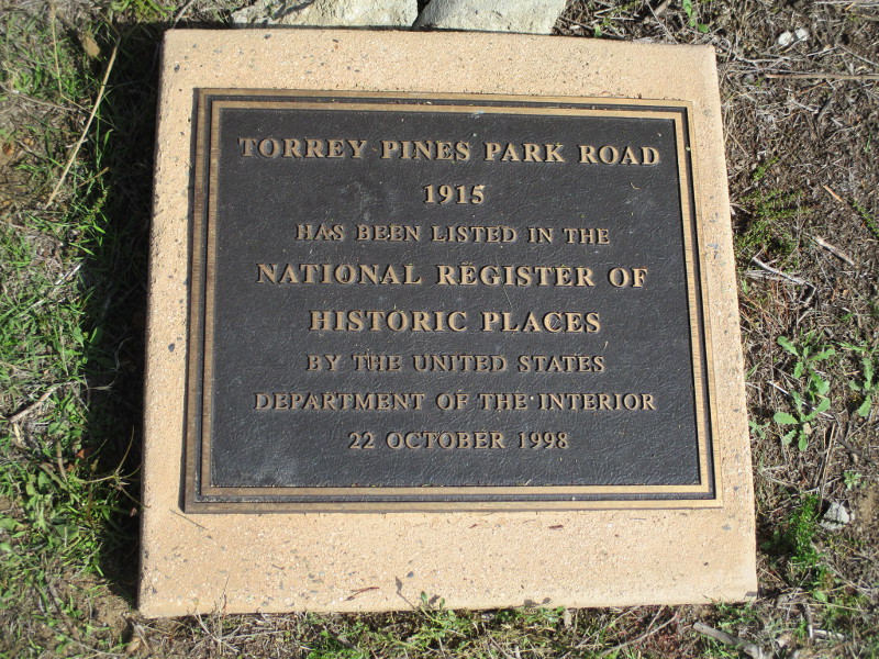
TORREY PINES PARK ROAD

1915

HAS BEEN LISTED IN THE NATIONAL REGISTER OF HISTORIC PLACES BY THE UNITED STATES DEPARTMENT OF THE INTERIOR

22 OCTOBER 1998

Hikers explore nature’s beauty.
The North Fork Trailhead leads west to the Broken Hill Trail.
Picturesque sandstone cliffs overlook North Torrey Pines Road (not visible) to the east.
A sign details the history of Camp Callan, which was located here from 1941 to 1945.

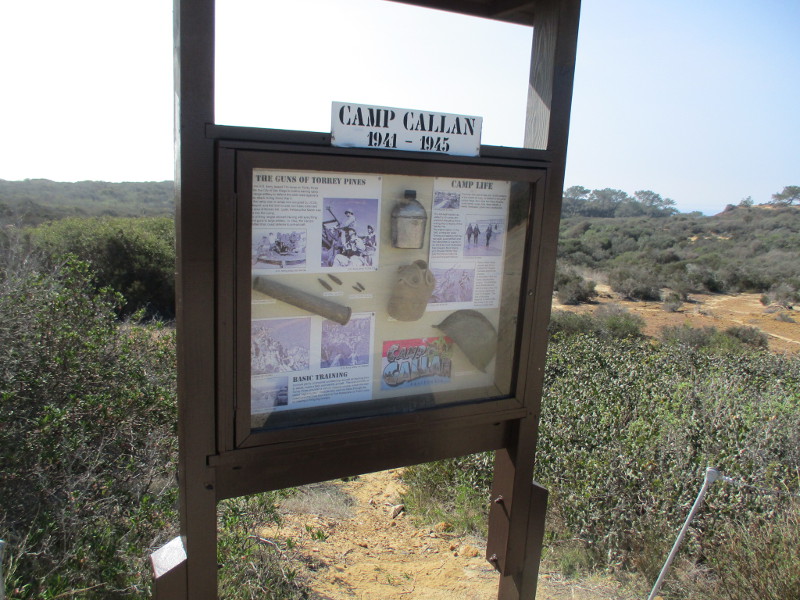
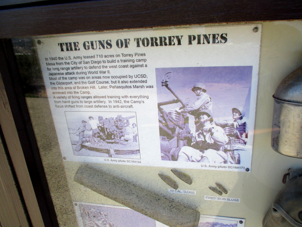
THE GUNS OF TORREY PINES

In 1940 the U.S. Army leased 710 acres on Torrey Pines Mesa from the City of San Diego to build a training camp for long range artillery to defend the west coast against a Japanese attack during World War II. Most of the camp was on areas now occupied by UCSD, the Gliderport, and the Golf Course, but it also extended into the area of Broken Hill. Later, Penasquitos Marsh was annexed into the Camp. A variety of firing ranges allowed training with everything from hand guns to large artillery. In 1942, the Camp’s focus shifted from coast defense to anti-aircraft.
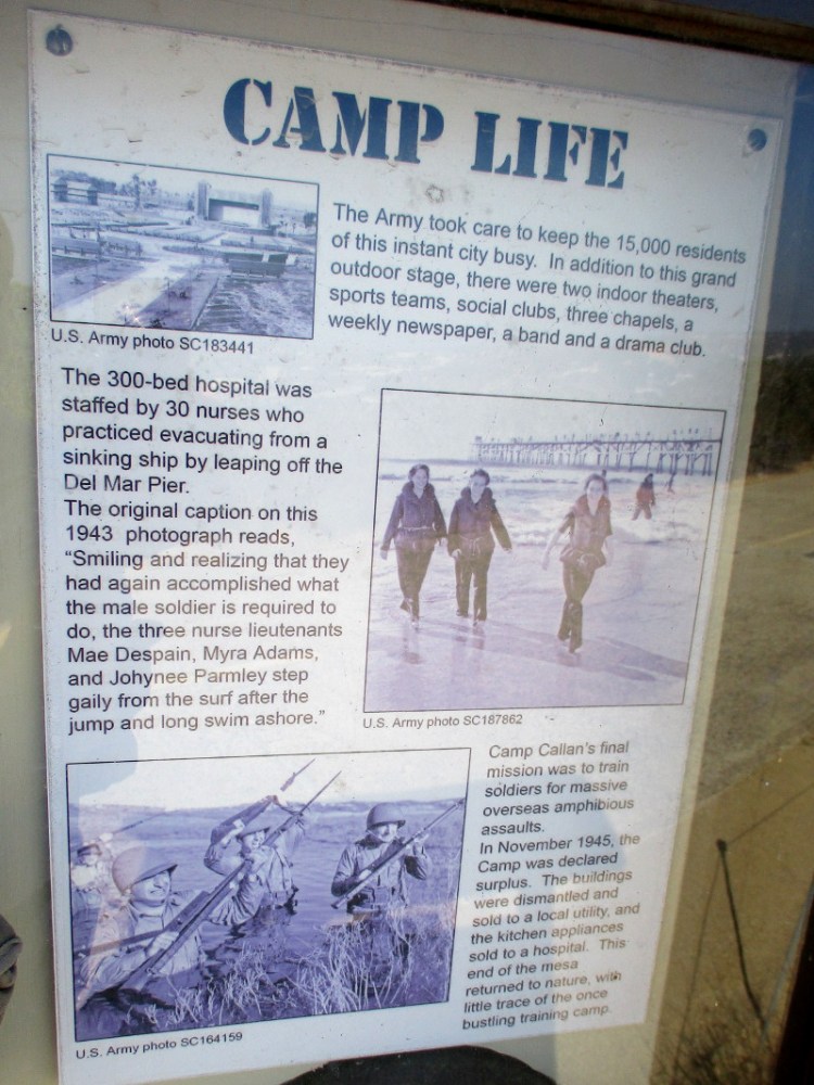
CAMP LIFE

The Army took care to keep the 15,000 residents of this instant city busy. In addition to this grand outdoor stage, there were two indoor theaters, sports teams, social clubs, three chapels, a weekly newspaper, a band and a drama club.

The 300-bed hospital was staffed by 30 nurses who practiced evacuating from a sinking ship by leaping off the Del Mar Pier. The original caption on the 1943 photograph reads, “Smiling and realizing that they had again accomplished what the male soldier is required to do, the three nurse lieutenants Mae Despain, Myra Adams, and Johynee Parmley step gaily from the surf after the jump and long swim ashore.”

Camp Callan’s final mission was to train soldiers for massive overseas amphibious assaults. In November 1945, the Camp was declared surplus. The buildings were dismantled and sold to a local utility, and the kitchen appliances sold to a hospital. This end of the mesa returned to nature, with little trace of the once bustling training camp.

A postcard. Greetings from CAMP CALLAN CALIFORNIA.
Torrey pine trees in the distance.
More eroded sandstone to the east.
Approaching a small parking lot at the Beach Trailhead near The Lodge.

This blog now features thousands of photos around San Diego! Are you curious? There’s lots of cool stuff to check out!

Here’s the Cool San Diego Sights main page, where you can read the most current blog posts.  If you’re using a phone or small mobile device, click those three parallel lines up at the top–that opens up my website’s sidebar, where you’ll see the most popular posts, a search box, and more!

To enjoy future posts, you can also “like” Cool San Diego Sights on Facebook or follow me on Twitter.

Making Strides Hope Tree blooms.

The Making Strides Hope Tree was blooming in San Diego this morning.

I walked into Balboa Park after the American Cancer Society’s Making Strides Against Breast Cancer event had come to a close.

Workers had begun to disassemble canopies. A few remaining participants were trickling out of the park.

But the Hope Tree remained.

The Making Strides Hope Tree is an opportunity to dedicate a pink ribbon tribute in memory of a lost loved one or in honor of someone who has or is currently battling breast cancer.

If you’d like to make a donation to fight breast cancer, click here.

I live in downtown San Diego and love to walk around with my camera! You can follow Cool San Diego Sights via Facebook or Twitter!

Leaves begin turning by the river.

Today is the first day of Autumn. The days are becoming noticeably shorter.

A few leaves down by the San Diego River have already begun to turn. Even through the weather has been hot due to our current Santa Ana conditions, the trees know summer is over.

I took a couple photos of Fremont cottonwood leaves changing their color in Mission Valley this morning. Some yellow has begun showing in all the green.

I live in downtown San Diego and love to walk around with my camera! You can follow Cool San Diego Sights via Facebook or Twitter!

The beautiful Torrey pines of Cabrillo.

The Old Point Loma Lighthouse at Cabrillo National Monument is picturesque by itself. But the historic 1855 lighthouse, rising into the sky near the end of Point Loma, seems to belong in a painting when several rare Torrey pines that grow nearby are framed with it.

The lighthouse and tall windswept trees seem to belong together.

I did my best to capture the extraordinary beauty with my small camera during a visit today.

I live in downtown San Diego and love to walk around with my camera! You can follow Cool San Diego Sights via Facebook or Twitter!

History and beauty at Magee Park in Carlsbad.

Magee Park in Carlsbad is a special place where both history and beauty thrive.

I enjoyed a walk through the park recently, pausing frequently to admire its several historical structures.

Everywhere I walked, it seemed, beds of roses greeted me. Magee Park’s rose garden is so beautiful and extensive that the American Rose Society called Carlsbad “An American Rose City” in 2002.

The centerpiece of the park is the 1887 Magee House, a handsome Craftsman-style house built by Samuel Church Smith, one of the founders of Carlsbad Land and Water Company. Today it is home to the Carlsbad Historical Society and their museum. Unfortunately, the museum was closed when I walked past. Read more about the Magee House’s history here.

Other historic structures in Magee Park include the Shipley-Magee Barn, Heritage Hall, the Twin Inns Granary and the Twin Inns Gazebo.

During my meandering walk, I photographed many of the informative signs and plaques that I came upon.

During Carlsbad’s agricultural past a variety of barn styles were constructed.
The barn at Magee Historical Park is the oldest Carlsbad barn in existence. This sign on the barn’s side details its history, and tells a little about the life of Florence Shipley and her husband Hugh Magee.
Vast areas of present day Carlsbad were once used to raise cattle and horses.
Heritage Hall in Carlsbad, California.

HERITAGE HALL

HERITAGE HALL WAS BUILT IN 1926 AS THE ORIGINAL SANCTUARY OF ST. PATRICK’S CATHOLIC CHURCH. IN 1952 IT BECAME CARLSBAD’S FIRST CITY HALL AND POLICE STATION; IN THE 1960’S THE FIRST LIBRARY, THE FIRST CHILDREN’S LIBRARY AND LATER A BALLET STUDIO. IN 1979 THE HALL WAS MOVED TO ITS PRESENT SITE WITH THE HELP OF FRIENDS OF THE LIBRARY, THE CARLSBAD HISTORICAL SOCIETY, AND VOLUNTEERS. IT IS NOW A COMMUNITY MEETING HALL.

The Twin Inns Granary.

THE TWIN INNS GRANARY

ORIGINALLY BUILT BY EDDIE KENTNER, PROPRIETOR OF THE WORLD FAMOUS CARLSBAD TWIN INNS, THIS GRANARY WAS DONATED TO THE CITY OF CARLSBAD BY NEIMAN’S VILLAGE FAIRE AND MOVED TO MAGEE PARK IN 1985. IT WAS RESTORED THROUGH THE GENEROUS ASSISTANCE OF THE CARLSBAD EVENING ROTARY CLUB.

Now I’ve begun to walk around the Magee House…

A time capsule in front of the Magee House placed by the Carlsbad Historical Society. It will be opened July 4, 2076, our nation’s Tricentennial.
Roses by the Magee House’s welcoming veranda.
Circular patio with birdbath beside the Magee House. More roses.
The old Twin Inns Gazebo nearby.
Continuing my walk around the Magee House.

As I walked through wide, grassy Magee Park, I noticed it has several trees with dedication plaques.

I found three of them…

25 years of friendship with sister city Karlovy Vary, Czech Republic.
In loving memory of Doris A. Gordon.
Mary Jane Joseph. Proud resident of Carlsbad.

I live in downtown San Diego and love to walk around with my camera! You can follow Cool San Diego Sights via Facebook or Twitter!

You can easily explore Cool San Diego Sights by using the search box on my blog’s sidebar. Or click a tag! There are thousands upon thousands of photos for you to enjoy!

Hundreds of new trees planted in Balboa Park.

I was walking through Balboa Park on Sunday, making my way toward Park Boulevard, when I noticed a newly planted tree with a shiny plaque beside it.

I veered across the grass to investigate…

The plaque states:

TREE BALBOA PARK

This tree and hundreds of others have been planted throughout the park by the Balboa Park Conservancy, Urban Corps, Tree San Diego, and Parks & Recreation.

Funding for this California Climate Investments grant project has been provided through the California Department of Forestry and Fire Protection (CAL FIRE), Urban and Community Forestry program.

I live in downtown San Diego and love to walk around with my camera! You can follow Cool San Diego Sights via Facebook or Twitter!

A hike near the Buena Vista Audubon Nature Center.

A beautiful, very easy nature hike can be enjoyed at the south end of Oceanside near the Buena Vista Audubon Nature Center. The quarter mile hike follows a quiet looping trail with views of the Buena Vista Lagoon Ecological Reserve.

Yesterday I walked the trail and took these photographs.

The Buena Vista Audubon Society runs the Nature Center, which is located at 2202 South Coast Highway. The trail begins and ends a few steps from the building’s front entrance, directly across the driveway.

The Buena Vista Audubon Society engages the community and local students by offering nature education and various birding opportunities. They are also active in working to protect and restore wetlands and other environmentally sensitive land. You can learn more about their mission at this web page.

The Nature Center was closed when I happened by, but the trail was wide open and inviting on a sunny July day.

Here and there through dense bulrushes, or at viewing platforms, one can see the placid lagoon, and birds floating in the water or taking flight. Not only does local wildlife depend on this important natural habitat, but Buena Vista Lagoon is used by thousands of migrating birds that follow the Pacific Flyway.

One section of the hike was on a wood plank boardwalk over shallow water, then the trail turned toward dry land where I saw majestic trees, including sycamores, cottonwoods, and even a few Torrey pines.

During my walk I happened to meet Buena Vista Audubon Society’s Executive Director Natalie Shapiro. Before I began my hike, I observed her picking up trash along the Coast Highway, where it crosses the lagoon. Then I saw her again on the trail! She asked if I’d like to volunteer! Volunteers are always greatly appreciated!

She was super friendly and explained to me the difference between bulrushes and cattails, which I tend to confuse. At the margins of the lagoon, the plant community includes both of these, not to mention pickleweed and saltgrass.

Since the 1940s, Buena Vista Lagoon has been sealed off from natural tidal fluctations, and it has consequently become a stagnant fresh-water system. But there are now plans to open the lagoon to the ocean, creating a more healthy wetland.

If you’d like to enjoy this very easy, educational nature hike, head to Oceanside. And plan to visit when the Buena Vista Audubon Nature Center is open! I need to do that, too!

I live in downtown San Diego and love to walk around with my camera! You can follow Cool San Diego Sights via Facebook or Twitter!

You can easily explore Cool San Diego Sights by using the search box on my blog’s sidebar. Or click a tag! There are thousands upon thousands of photos for you to enjoy!

Ghostly branches of a cottonwood in spring.

In late spring and early summer the branches of a cottonwood tree can become very ghostly!

I walked under a Fremont cottonwood by the San Diego River this morning. My eyes were intrigued by the windblown white “cotton” that had collected on its own gray limbs and branches.

Check out the upcoming photos. Those drooping white puffs that resemble cotton candy are actually a fruit called achene. Seeds are dispersed by the wind.

I’m no botanist, so I don’t pretend to understand much about it.

I do know, however, that these seeds can plant themselves in a fertile imagination. The cottonwood’s fuzzed branches appear ethereal, like phantom forms from some unearthly world…

I live in downtown San Diego and love to walk around with my camera! You can follow Cool San Diego Sights via Facebook or Twitter!

A water saving demonstration landscape in La Mesa.

If you live in San Diego and love having a beautiful, lush garden in your yard, but also want to save water, there’s a fine demonstration landscape full of drought tolerant native plants, trees and flowers you can check out in La Mesa. The demonstration landscape can be found on two sides of the Helix Water District building at 7811 University Avenue.

I enjoyed looking at the demonstration garden last weekend and took photographs. According to a sign, water can be saved by not only planting vegetation native to the San Diego region, or well suited to our arid climate, but by installing a drip irrigation system under a layer of mulch to prevent evaporation. A smart irrigation controller can adjust watering times based on the weather.

Having such a WaterSmart landscape can help “beautiful plants and trees thrive on half, a third, or a fifth of the water a traditional lawn needs.”

If you can’t make it to La Mesa, go to the Helix Water Districts’ website and check out their Sustainable Landscape page here. You’ll find lots of great ideas, including numerous plants that you might use!

I live in downtown San Diego and love to walk around with my camera! You can follow Cool San Diego Sights via Facebook or Twitter!

A historical walking tour of Encinitas.

If you’re a San Diego resident or visitor, I recommend going on a historical walking tour of Encinitas.

The free guided walks, which are led by a member of the Encinitas Historical Society, typically occur every two months and begin inside the society’s headquarters, a restored one-room 1883 schoolhouse. For the location, and to see the dates of upcoming walking tours, check out their website here.

Last Saturday I and a couple dozen others gathered at the old schoolhouse for the tour. The sky was overcast with May gray, but the cool temperature was perfect for a very active one and a half hour walk.

Our group headed south from the schoolhouse, checking out the two iconic Encinitas Boathouses and a few other historical homes and buildings. After a short eastward leg, we continued farther south down Coast Highway 101 to view the Golden Lotus Towers of the Self-Realization Fellowship from a distance, then headed back north passing numerous historical buildings until we reached Cottonwood Creek. Turning west, we followed the creek, climbed to a spot overlooking Moonlight Beach where we admired a Heritage Tree, then headed south a few blocks back to the old schoolhouse.

These photographs include sights I’d seen during a past walk in Encinitas. Back then I was on my own, wandering about randomly while knowing very little. The guided tour last weekend was extremely informative and I’ve provided a little bit of what I learned (and managed to jot down) in the photo captions.

If you want a great experience make sure to go on the tour yourself! Like every other beach city in San Diego’s North County, Encinitas has a rich history that is often surprising!

The unique Boathouses of Encinitas were built in 1927-1928 and were once called The Arks. They were constructed with recycled lumber from a dance pavilion and bath house that used to be located at Moonlight Beach.
The Petrie House, in the Tudor-Cotswold Revival architectural style, was built in 1931. Every cement block was made by hand.
The Self-Realization Fellowship Temple was originally the 1916 Mission School. The old Spanish architectural influences are still visible.
To the south down Coast Highway 101 we could see the distinctive golden towers of the Self-Realization Fellowship ashram.
The 1949 County Realty Building, now home of Encinitas 101 Main Street Association.
A surfboard bench and photo of Main Street, Encinitas, California, looking west, circa 1947.
Beautiful wood interior of the 1925 Payne Cleaners building. It is home to the longest laundry service business in San Diego County.
Rustic-appearing buildings across the Coast Highway at The Lumberyard shopping center were inspired by history. Trains running on nearby tracks once delivered lumber to Encinitas here.
Beautiful original glasswork decorates a historic building.
The Daley Double saloon was called the Rendezvous in the 1930’s. It once housed an illegal poker parlor and boxing ring.
Murals painted by Micaiah Hardison, born and raised in Encinitas.
The original Encinitas sign was erected in 1928, removed in 1937 for a highway widening project, then duplicated and returned to the same location in 2000.
The famous La Paloma Theater, also called Aubrey Austin Building, opened in 1928. Built in a Spanish Mission/Art Deco style.
The sculpture Encinitas Child was created by local artist Manuelita Brown. A young girl was killed on the nearby road years ago.
The popular, very colorful Surfing Madonna mural.

Last year I blogged about the Surfing Madonna mural with additional photos and information here.

Encinitas owes its origin to Cottonwood Creek, a source of water and wood on San Diego’s arid north coast. Trains coming down from Los Angeles stopped here. In 1881 the town of Old Encinitas was established.
Members of our tour group look down at a huge frog at the edge of the creek.
A large, rare Torrey pine tree, on a hilltop not far from the Pacific Ocean.
The 2nd Heritage Tree of Encinitas. Planted in 1952, the huge Star Pine is lit during the holidays and Santa arrives on a firetruck from nearby Fire Station One.
One of many quaint beach cottages built by the ocean in Encinitas.

I live in downtown San Diego and love to walk around with my camera! You can follow Cool San Diego Sights via Facebook or Twitter!

You can easily explore Cool San Diego Sights by using the search box on my blog’s sidebar. Or click a tag! There are thousands upon thousands of photos for you to enjoy!