Rose Creek Bikeway near Mission Bay.

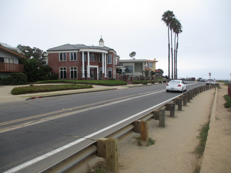
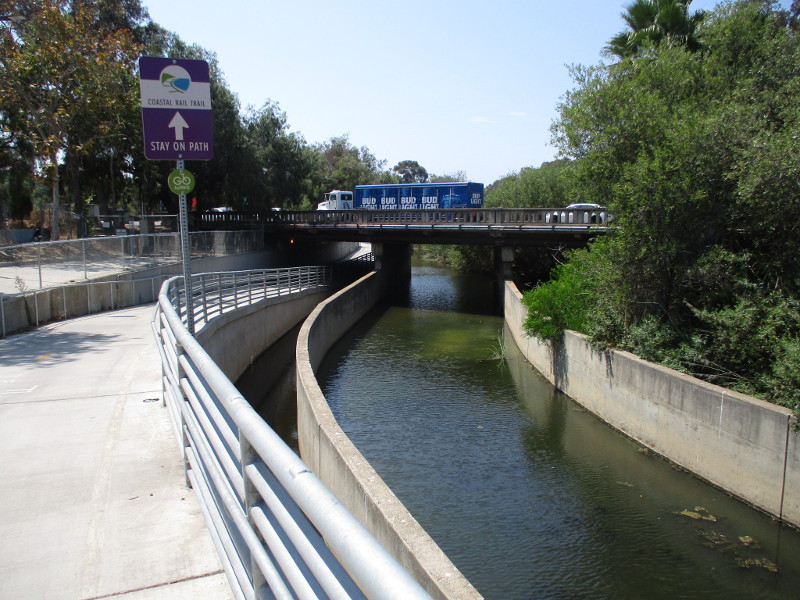
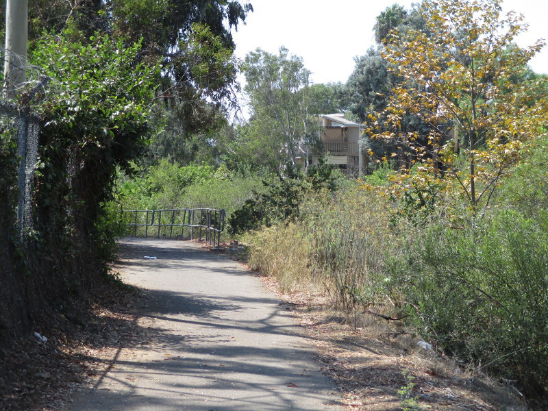
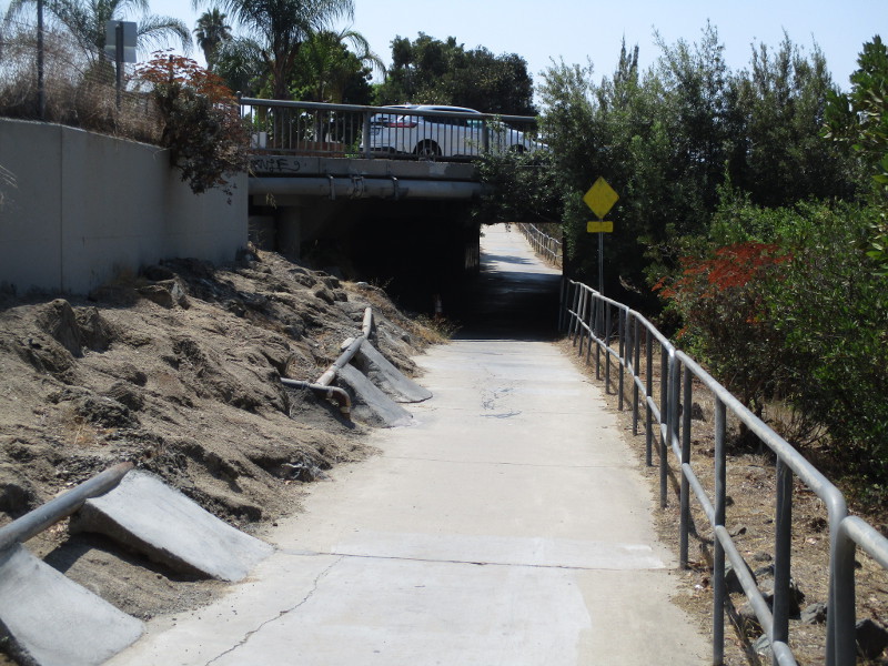
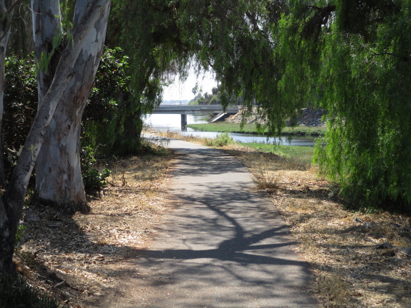
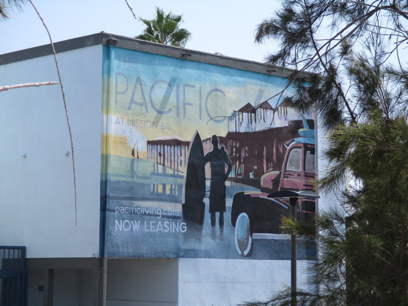
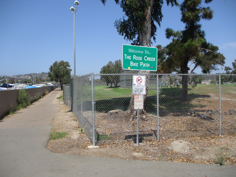
Have you ever wondered what the Rose Creek Bikeway is like just north of Mission Bay?

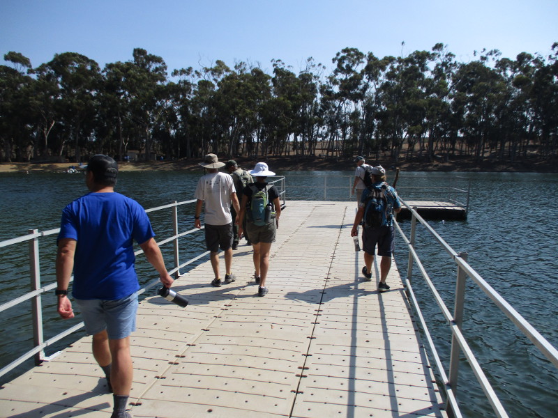
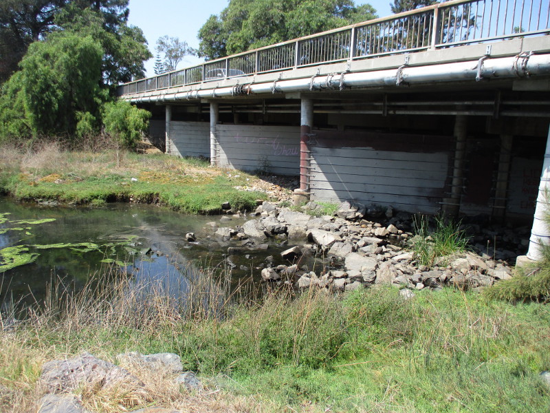
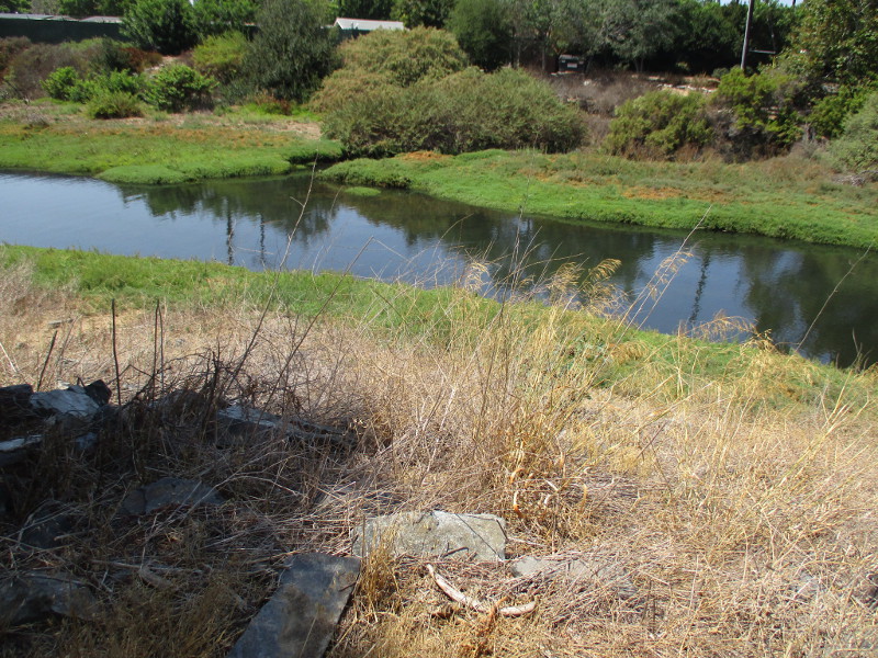
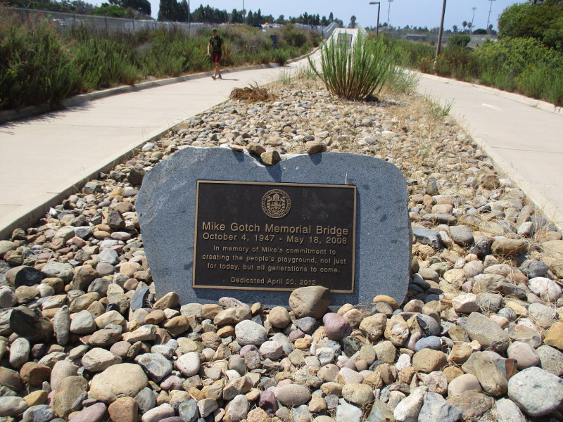
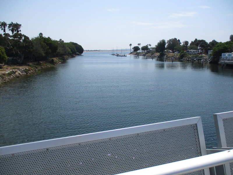
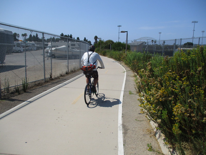
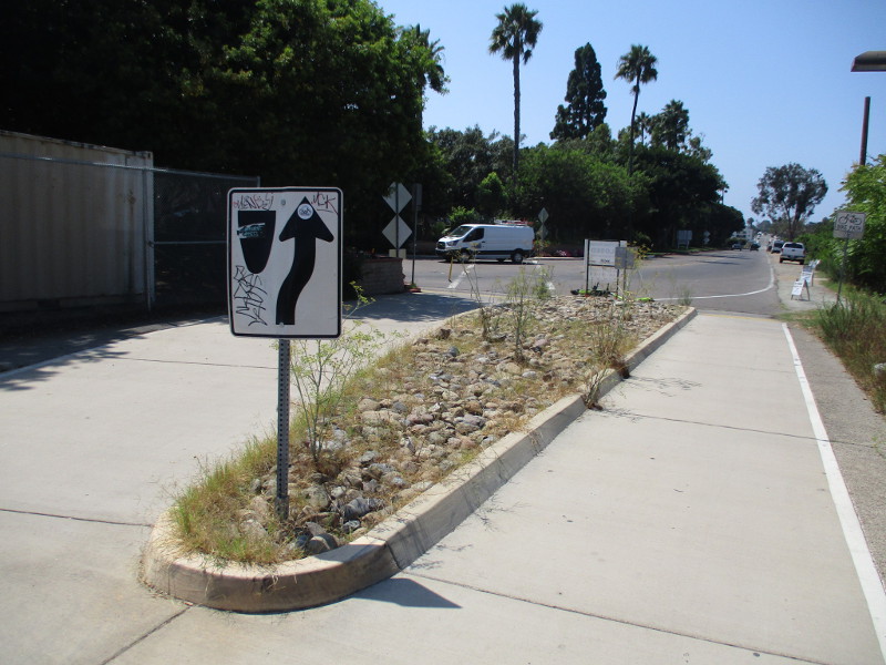
I did, so I walked along the bike and pedestrian path a few weekends ago. I started at a point near the In-N-Out Burger at Damon Avenue (just east of Mission Bay Drive) and headed south under Garnet and Grand Avenue to North Mission Bay Drive. I then walked west over the Mike Gotch Memorial Bridge spanning the Rose Creek Inlet to the entrance of Campland on the Bay.

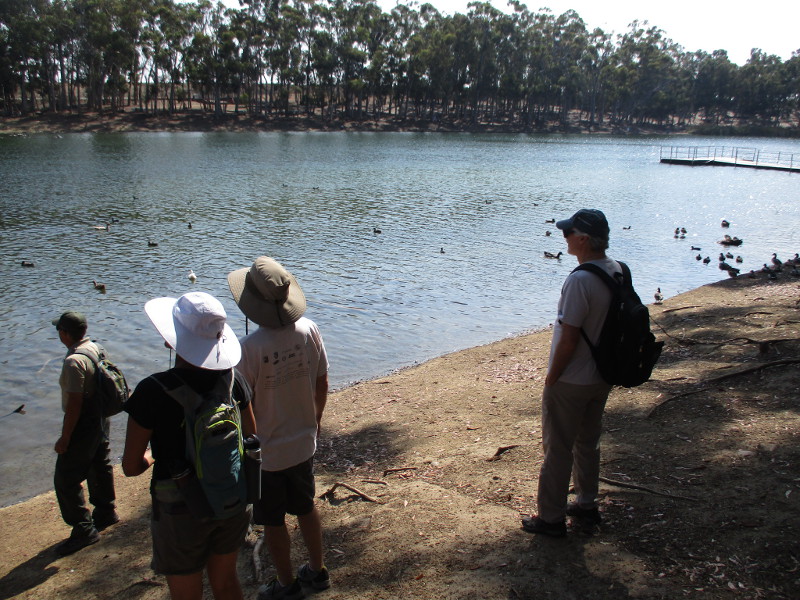
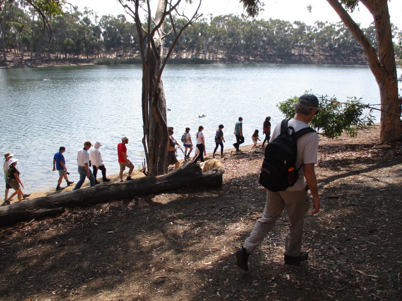
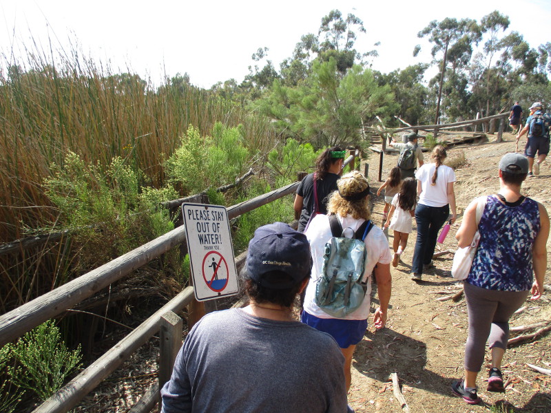
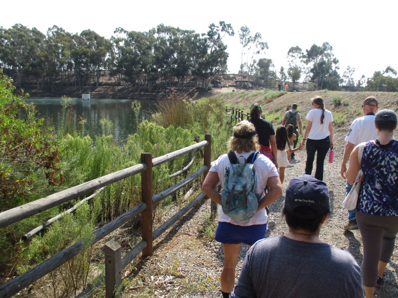
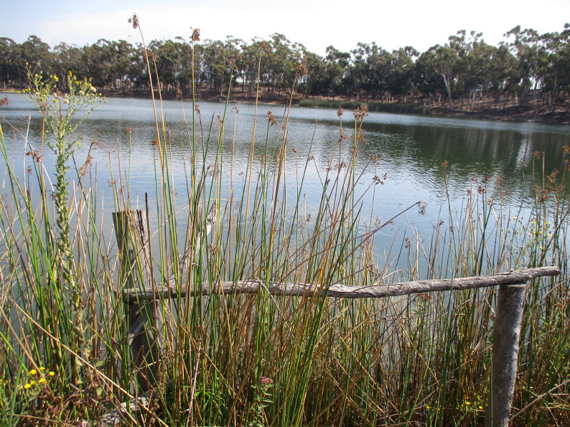
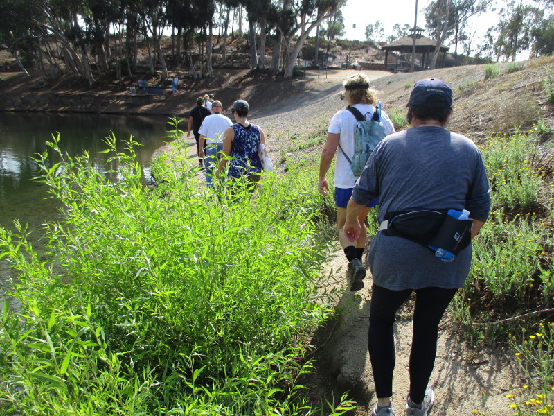
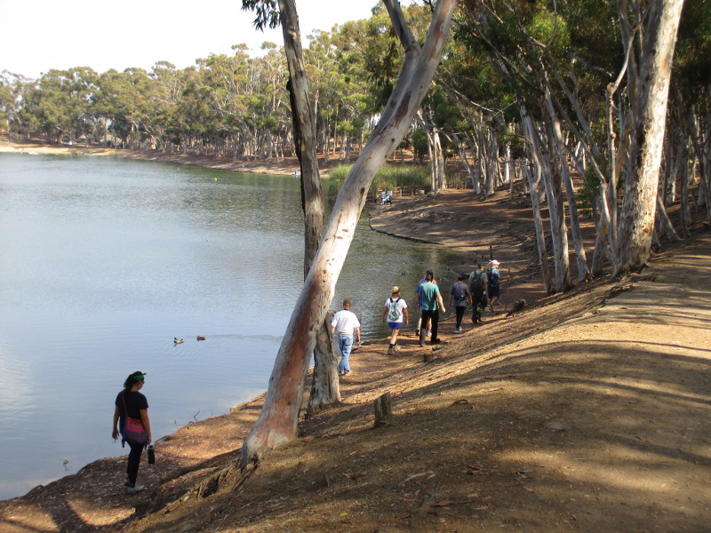
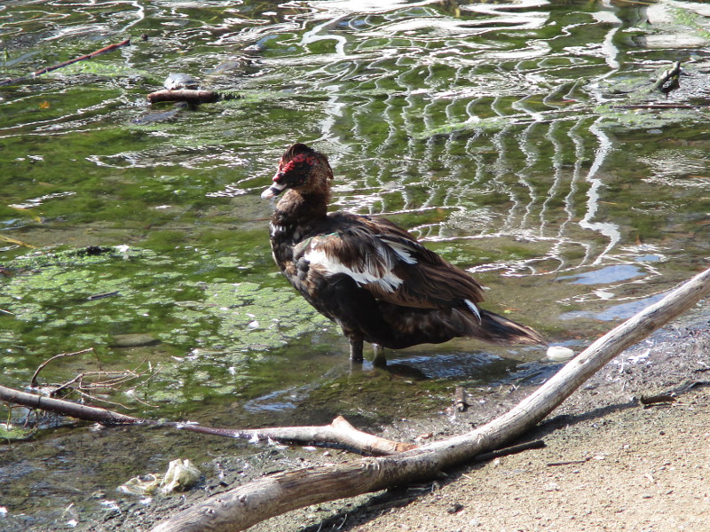
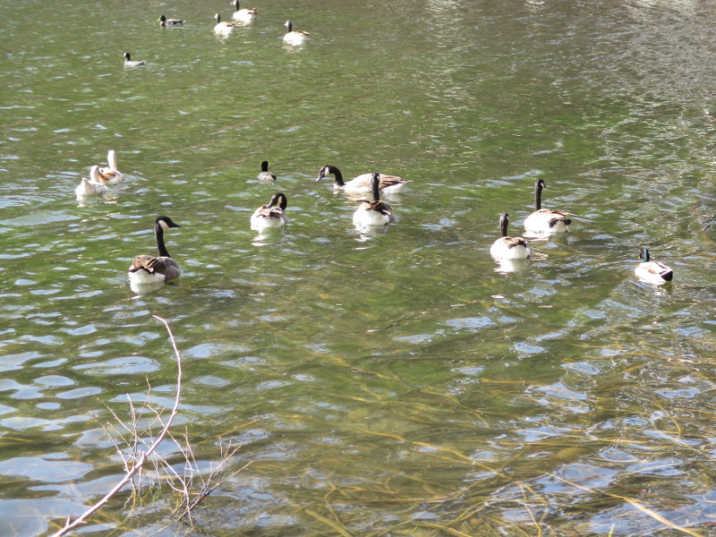
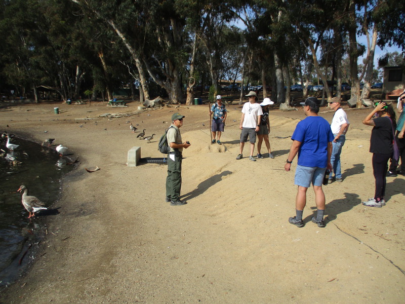
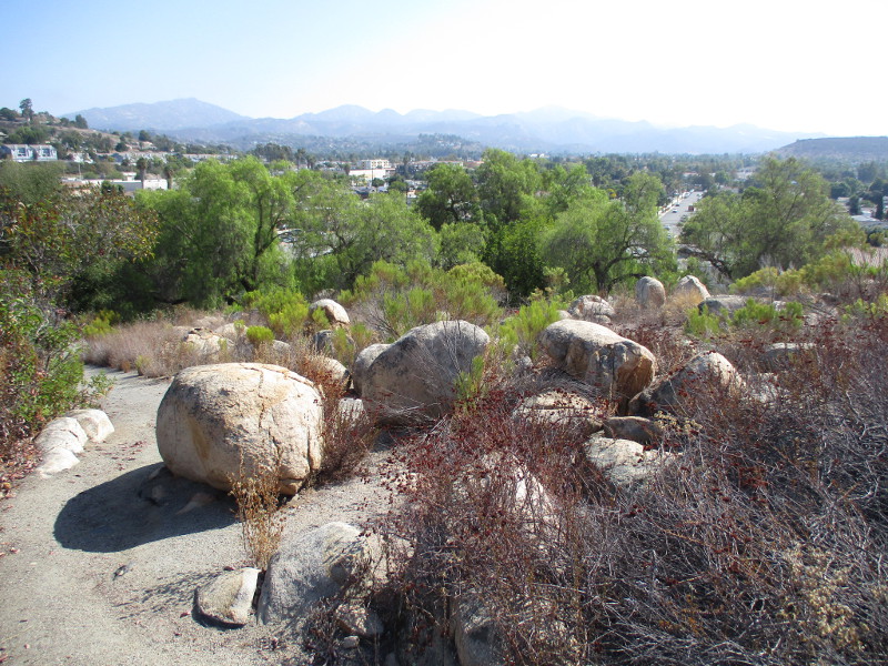
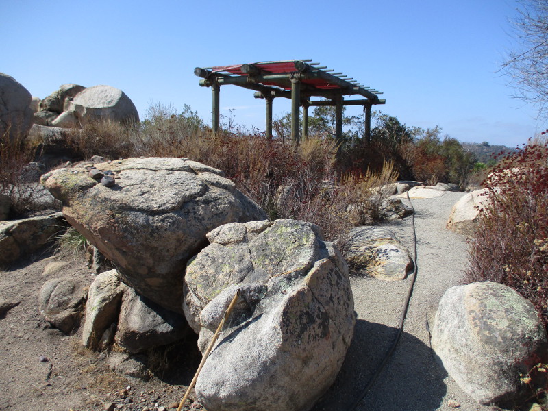
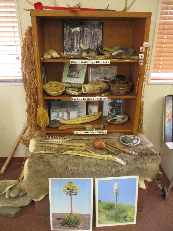
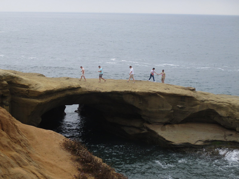
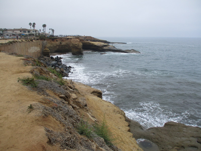
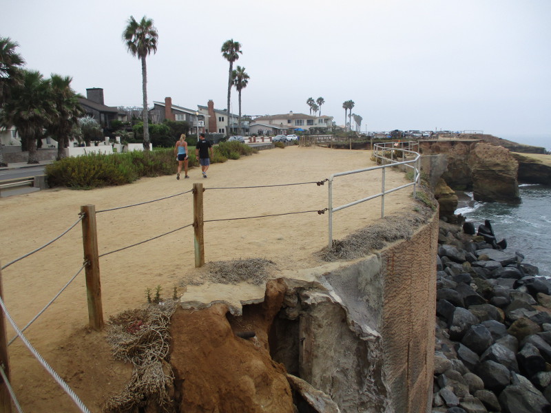
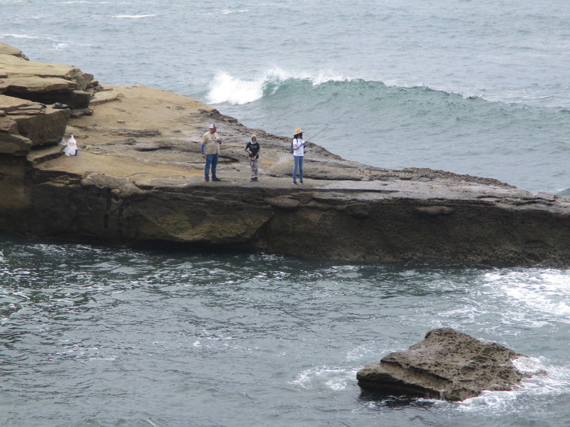
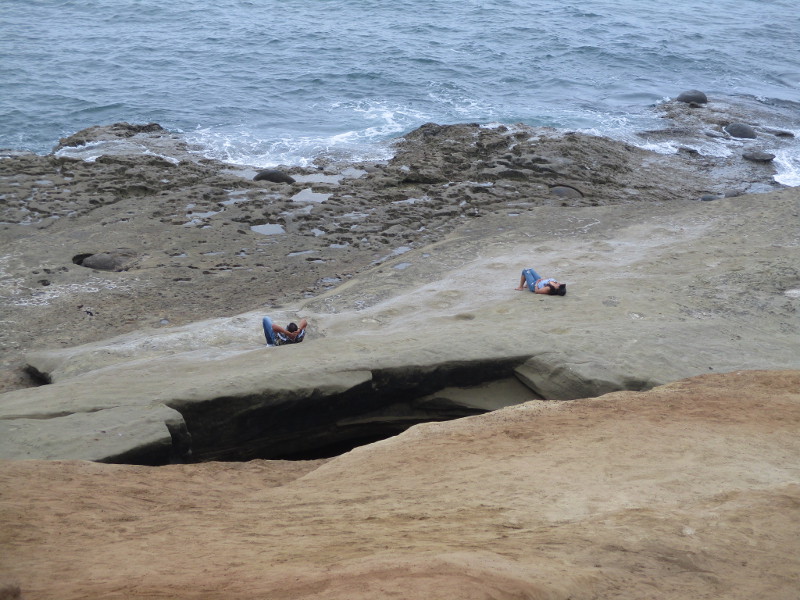
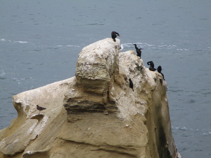
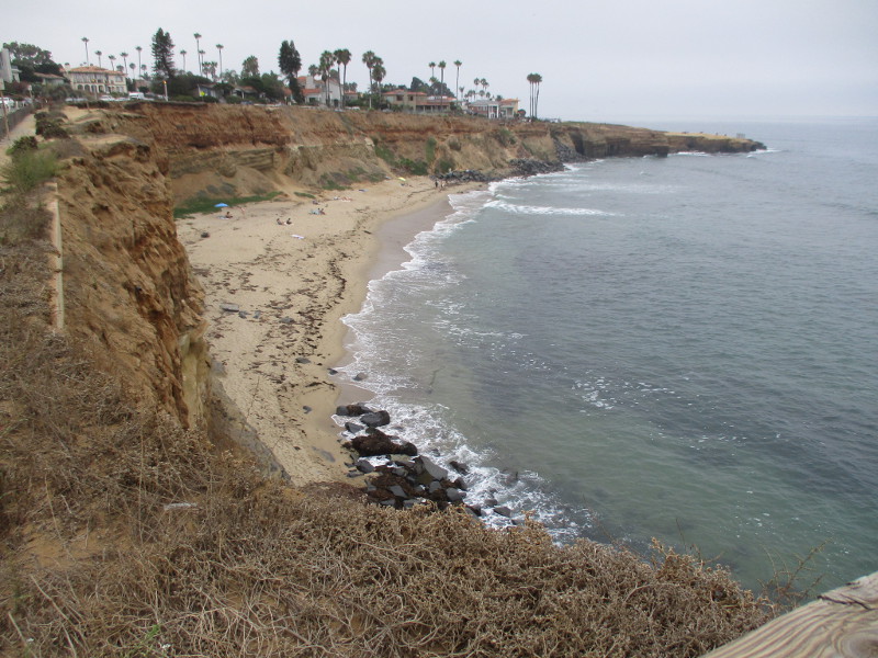
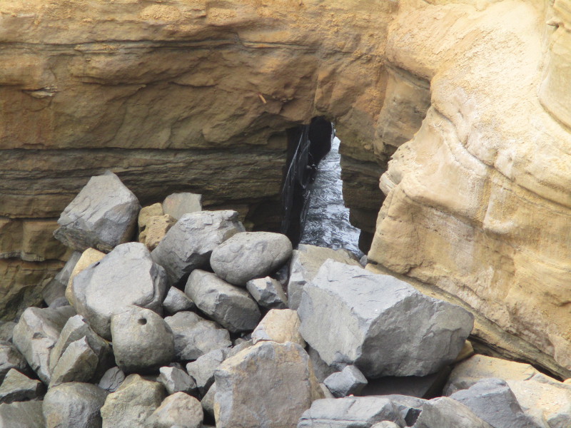
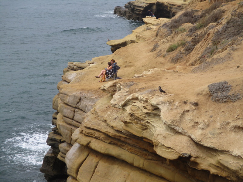
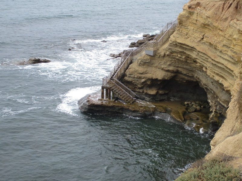
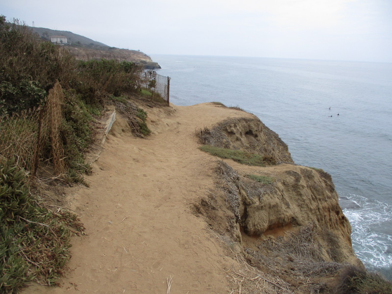
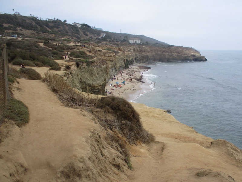
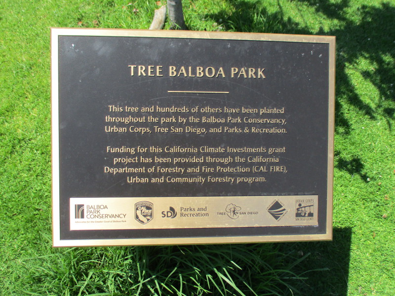
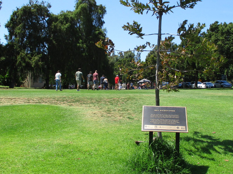
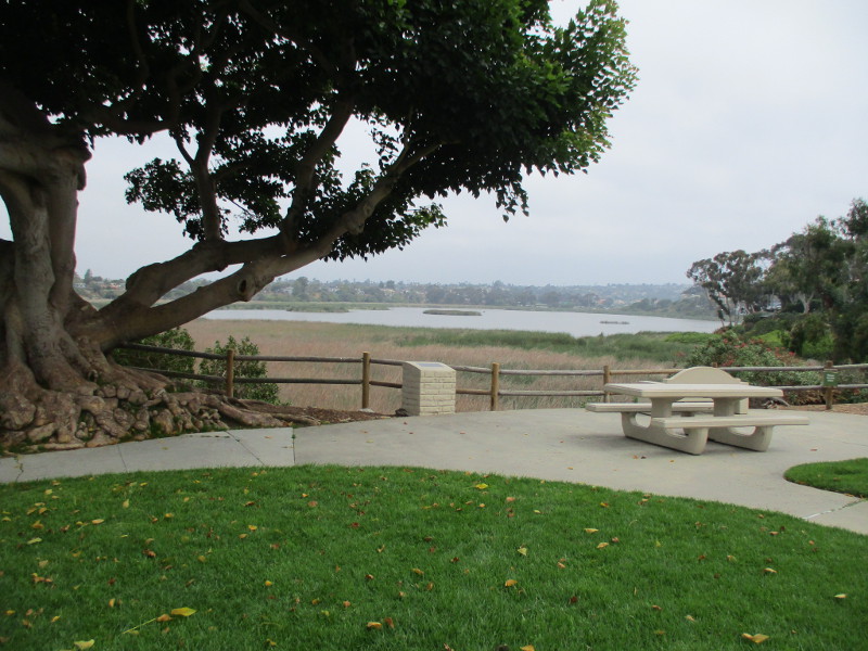
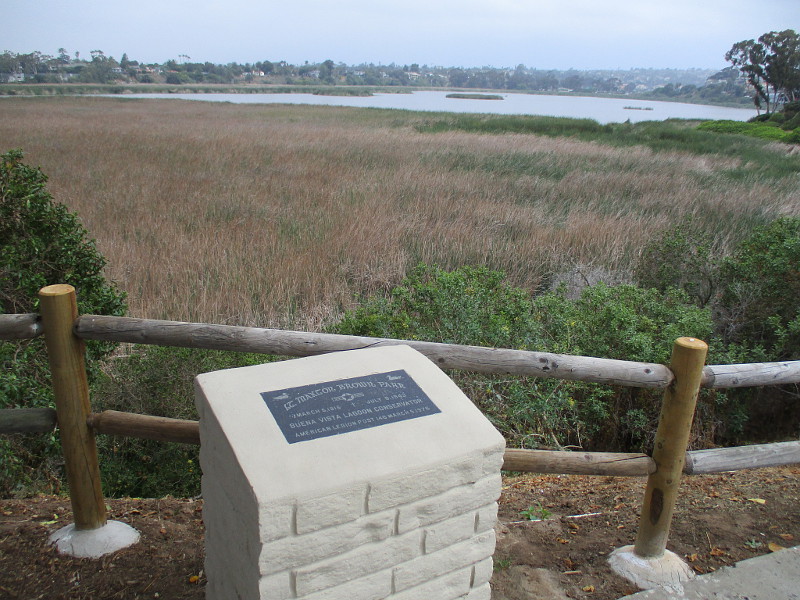
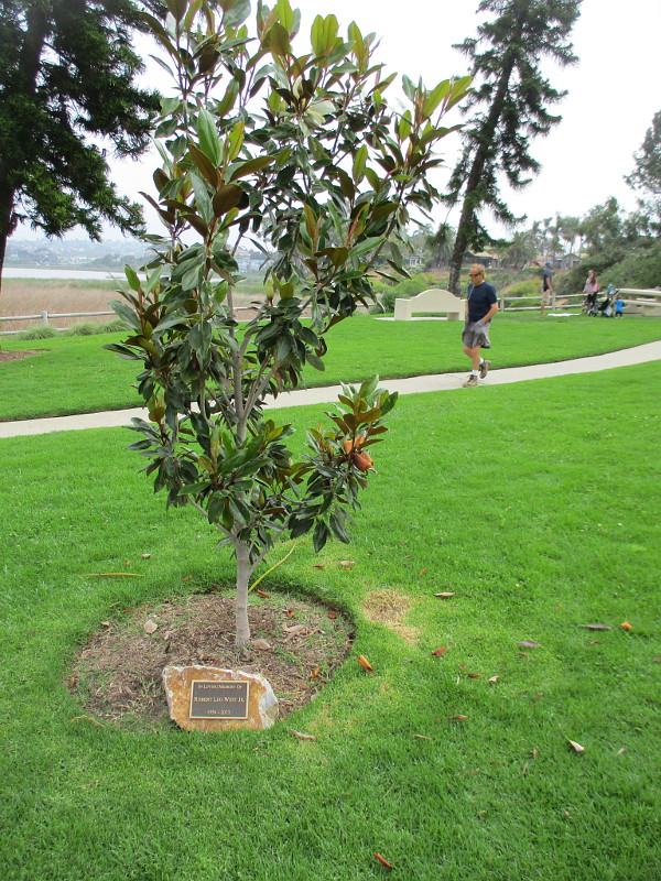
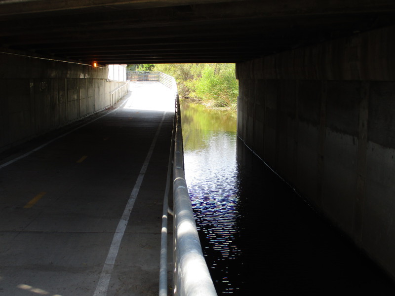
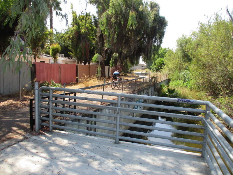
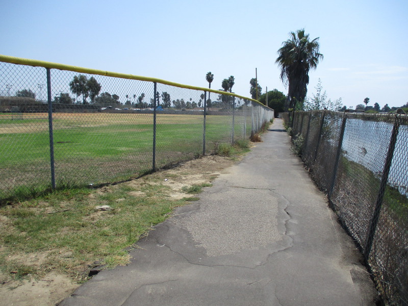
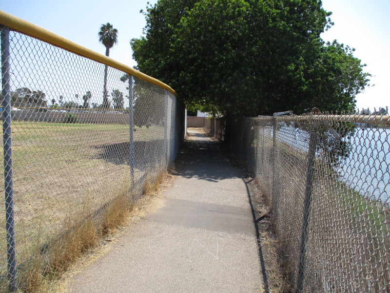
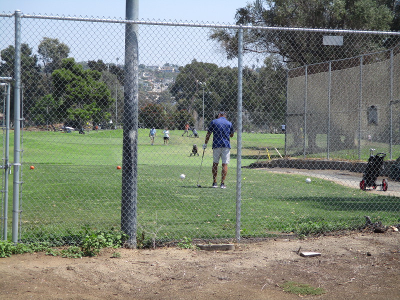
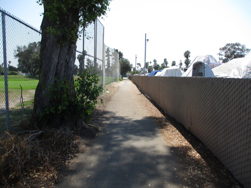
As you’ll see in the upcoming photographs, the path along Rose Creek features natural beauty but can be trashy in places. It cuts behind businesses, passes the ends of residential streets, and winds along the edge of several sporting facilities. I also saw evidence that homeless people use the path and camp near it.

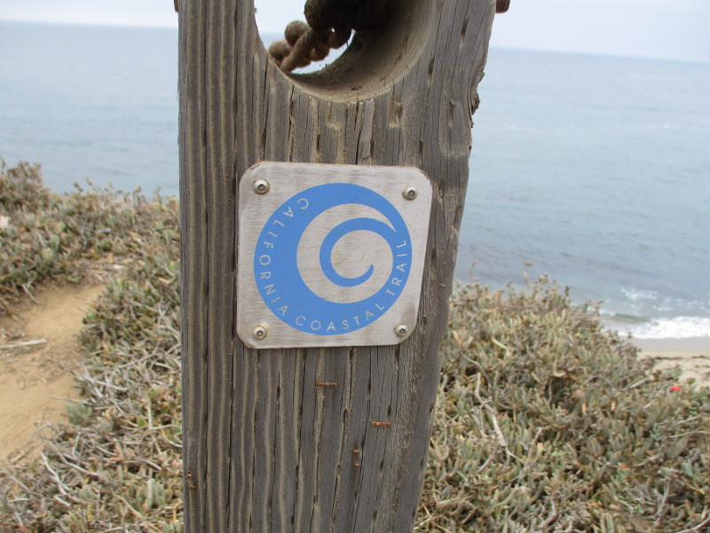
The Rose Creek Bikeway is part of the much longer 44 mile Coastal Rail Trail which, when completed, will connect downtown San Diego with Oceanside, California. (Had I walked north up the path instead, I would have followed Interstate 5 toward La Jolla and Sorrento Valley, next to the tracks of the soon-to-open Mid-Coast Trolley extension.)

Looking north for a moment as I get started south.
About to pass under Mission Bay Drive.
Approaching Garnet Avenue.
Approaching Grand Avenue.
A couple walks dog under Grand Avenue.
It appears someone lives under the bridge.
Passing a basketball court.
Walking between Rose Creek and the Mission Bay Youth Baseball field.
Someone practices pitching.
To the right beyond the fence is the San Diego Mission Bay Boat and Ski Club.
Passing the Mission Bay Golf Course and Practice Center.
Turning for a moment to look back north. Sign at North Mission Bay Drive, just east of the Mike Gotch Memorial Bridge, reads: Welcome To… The Rose Creek Bike Path.
Now walking west, near a plaque at the east end of the Mike Gotch Memorial Bridge.
Mike Gotch Memorial Bridge. October 4, 1947 – May 18, 2008. In memory of Mike’s commitment to creating the people’s playground, not just for today, but all generations to come. Dedicated April 20, 2012.
Looking south toward Mission Bay. I see Fiesta Island in the distance.
Passing behind Mission Bay High School’s sports fields.
Approaching Pacific Beach Drive, where the dedicated bike and pedestrian path ends.
Bicyclists start east along the path, near the entrance to Campland on the Bay.

I live in downtown San Diego and love to walk around with my camera! You can follow Cool San Diego Sights via Facebook or Twitter!

You can easily explore Cool San Diego Sights by using the search box on my blog’s sidebar. Or click a tag! There are thousands upon thousands of photos for you to enjoy!

An educational nature hike at Chollas Lake Park.

A wide variety of community programs are offered at Chollas Lake Park in San Diego’s Oak Park neighborhood. There are ranger-led wildlife “Meet the Neighbors” hikes around the small lake, Kumeyaay ethnobotany walks, youth fishing, fitness classes, crafts, an oral history project, archery and even a book club with its own scenic hangout!

Yesterday I went on a nature hike where I and a good number of visitors circled the shallow artificial lake while ranger Cary Goldstein identified and talked about the many birds and other animals we saw, some of which are feral.

The walk was level, about a mile long, easy, and very educational. We saw Chinese and African geese and learned how to tell them apart. We saw a turkey vulture circling high above the treetops. We saw blooming marsh fleabane at the water’s edge and California bulrushes where birds nest. We saw turtles swimming underwater and sunning on rocks. We saw mallards and coots and banded pigeons and Canada geese and curious California ground squirrels and a strange-looking Muscovy duck.

We learned so much I couldn’t begin to relate it all. Some very young walkers had hands raised and asked lots of good questions.

I was fascinated to learn Chollas Lake was created in 1901 as a source for drinking water when San Diego was rather small. Later it was used to cool United States Navy radio equipment back when the three largest structures in the city, at 600 feet tall, stood atop a hill above the lake. Those radio transmitter antennas were the first to receive a signal from Hawaii that Pearl Harbor had been attacked. (A blog concerning this will be coming up later.)

Today Chollas Lake Park is a place where nature thrives. It is also a place where people can recreate, relax and learn about this beautiful and interesting world we call home.

Visit the Chollas Lake Park website here.

I live in downtown San Diego and love to walk around with my camera! You can follow Cool San Diego Sights via Facebook or Twitter!

Leaves begin turning by the river.

Today is the first day of Autumn. The days are becoming noticeably shorter.

A few leaves down by the San Diego River have already begun to turn. Even through the weather has been hot due to our current Santa Ana conditions, the trees know summer is over.

I took a couple photos of Fremont cottonwood leaves changing their color in Mission Valley this morning. Some yellow has begun showing in all the green.

I live in downtown San Diego and love to walk around with my camera! You can follow Cool San Diego Sights via Facebook or Twitter!

Visiting the Kumeyaay-Ipai Interpretive Center in Poway.

Once a month, every third Saturday, the Kumeyaay-Ipai Interpretive Center in Poway opens to the public.

Today I enjoyed a tour of the archaeological site and its educational visitor center. I was surprised to find so much history preserved in this small island of natural beauty just off Poway Road.

Poway is derived from the Native American Kumeyaay word Pauwai, which means the shape of an arrowhead or the merging of two creeks. A short distance to the south is Poway Creek.

As you will see in the following photographs, a small Kumeyaay village of approximately 20 families once lived on the hill that I and my docent tour guide, Heidi, explored.

The Kumeyaay people have lived in this region for at least 10,000 years. These first people had their lives severely disrupted with the arrival of Europeans in 1769. Today, descendants of those who lived in Pauwai are members of the San Pasqual Band of Mission Indians.

Please enjoy the following photos to get a taste of what you might discover when you visit. Read the captions for a few of the things I learned.

Are you a local history or anthropology enthusiast? Or a community-minded person who loves the outdoors? The Kumeyaay-Ipai Interpretive Center is always looking for volunteers!

Check out their Facebook page and learn about the special days and hours when you can visit here.

Sign at the end of Ipai Waaypuk Trail, south of Poway Road, where there is parking.
Kiosk welcomes visitors to an important historical site.
My tour guide Heidi starts up stairs that lead to short looping trails.
At the Replica Village in a clearing stand several recreated Kumeyaay ewaas. These are shelters made of sycamore or willow tree branches, covered with cattails or baccharis, and tied with yucca or agave fiber string. These replica ewaas are old and need to be refurbished. The Kumeyaay would refresh their watertight ewaas regularly. A grinding stone, or metate, lies nearby.
This nearest ewaa was recently reconstructed. Volunteers who’d like to maintain this special place are welcome!
Heading up to the top of the hill along a very short, moderately steep section of trail.
I’m shown Wild Cucumber. Like many native plants, it had various practical uses. Seeds ground into a powder by the Kumeyaay were added to pigments to create rock art. The crushed roots, when tossed into water, would paralyze fish!
In the distance we could see Mt. Woodson, Iron Mountain, and Cuyamaca Peak. Depending on the season, the Kumeyaay would migrate east to the mountains or west to the Pacific Ocean coast.
One of several outdoor ramadas built for visitors to the Interpretive Center. Historical ramadas erected by the Kumeyaay were shady places for village activities and ceremonies.
It was thought that rock art might be found on these monumental boulders crowning the hilltop, but a thorough study using modern technology detected no traces.
A wise Kumeyaay observer found in this rock formation a whale, a turtle, and the head of a dolphin. Do you see them?
A nearby fire pit once used by the Kumeyaay villagers.
Soot remains in this natural rocky oven. A crack in the rear conveniently served as a flue for smoke.
Cooking stones would be heated in the fire, then placed in baskets to prepare food.
Many small broken pottery sherds have been found near this primitive kitchen.
At the top of the hill are very deep grinding holes, or morteros, where acorns were ground for thousands of years. After being reduced to powder, the acorns would be leached of tannic acid and cooked into a mush called shawii.
A important cultural site representing thousands of years of indigenous history in Poway.
A Coast Live Oak beside the trail. One of several types of oak trees in the San Diego region. Acorns were a staple of the Kumeyaay diet.
As I and my tour guide walk back down the trail, another group heads up toward the hilltop.
A hollow Elderberry branch. Not surprisingly, these were used to make musical instruments such as flutes.
Some of the rugged natural beauty that we enjoyed.
At another ramada replica, we saw a series of genuine metates that Third Grade students can use during educational field trips! These metates were rescued during road construction many years ago and were donated to the Interpretive Center.
There is much to learn about Kumeyaay tools, food, basket weaving, pottery and more!
Third Grade students use these small stones to paint their own rock art!
We head into the building at the Kumeyaay-Ipai Interpretive Center to learn even more!
Look at all the smiling docents!
Dorothy M. Tavui was a Kumeyaay friend who helped to establish the Interpretive Center in Poway.
Shelves full of artifacts that kids can explore and handle to learn about Kumeyaay life.
A willow basket full of acorns. The long conical acorns are from Coast Live Oaks. The big acorns are from Black Oaks in the Cuyamaca Mountains. They were the largest and tastiest! The abalone shells you also see were obtained from the coast and often used as trade items.
Old photo of a 6 foot tall willow basket! Acorns would be gathered in season to last the entire year.
Sandals made of natural plant fibers.
I learned this is a seed beater! It’s being demonstrated on dried blooms of sage.
A beautiful mural inside the Kumeyaay-Ipai Interpretive Center in Poway shows what village life was like here for many thousands of years. By artist Brigitte Lopez, 2012.

I live in downtown San Diego and love to walk around with my camera! You can follow Cool San Diego Sights via Facebook or Twitter!

The beautiful Torrey pines of Cabrillo.

The Old Point Loma Lighthouse at Cabrillo National Monument is picturesque by itself. But the historic 1855 lighthouse, rising into the sky near the end of Point Loma, seems to belong in a painting when several rare Torrey pines that grow nearby are framed with it.

The lighthouse and tall windswept trees seem to belong together.

I did my best to capture the extraordinary beauty with my small camera during a visit today.

I live in downtown San Diego and love to walk around with my camera! You can follow Cool San Diego Sights via Facebook or Twitter!

Help build a new environmental field station!

Want to do something tangible to help the environment? Here’s an idea!

UC San Diego is working to fund a new Kendall-Frost Field Station on the north side of Mission Bay. They are raising funds for a much improved education, research and outreach center at the edge of the Kendall-Frost Marsh Reserve.

I passed their old trailer today during my long walk through Pacific Beach, and I happened to see the following information on the fence. It includes a rendering of the proposed field station…

Join our fundraising campaign to build a new field research and education building to replace the 55-year-old trailer. The new building will feature a large multi-purpose classroom and community room, roll-up windows and a large deck, bird-watching overlook, and reception area.

Five years ago I visited the old trailer and the working area adjacent to it during Love Your Wetlands Day.

If you want to see the wetland restoration that is done here, and fun photos of that educational event, check out my past blog post.

If you want to help build the new field station, or learn more about this project, visit the UC San Diego web page here!

The trailer is covered with colorful art, but is getting very old.
The environmentally important Kendall-Frost Marsh Reserve in Mission Bay.

I live in downtown San Diego and love to walk around with my camera! You can follow Cool San Diego Sights via Facebook or Twitter!

Amazing mural at San Diego Urban Timber!

Perhaps you’ve seen it already. The huge, amazing, recently completed mural on a building by Interstate 5, just south of H Street in Chula Vista. When you’re driving south down the freeway it’s hard to miss!

The large building has become home to San Diego Urban Timber, and the muralist is local artist Carly Ealey.

I took these photos today during a super long walk (with occasional bus and trolley rides) around San Diego’s South Bay. It’s my week off from work, so I’ll be collecting many more images all around the city in the days ahead!

What a sensational work of art.

Life, represented by brilliant images of nature, emerges from two strong females.

I live in downtown San Diego and love to walk around with my camera! You can follow Cool San Diego Sights via Facebook or Twitter!

You can easily explore Cool San Diego Sights by using the search box on my blog’s sidebar. Or click a tag! There are thousands upon thousands of photos for you to enjoy!

An amazing walk along Sunset Cliffs!

One of San Diego’s most amazing, scenic walks is along Sunset Cliffs in Point Loma.

Yesterday I walked along the length of Sunset Cliffs Natural Park, which stretches for about 1.5 miles beside the Pacific Ocean. I started near the intersection of Sunset Cliffs Boulevard and Adair Street and headed south to Ladera Street, where there’s a popular beach, nature trails and stairs down to a small cave and rocky tide pools.

The August summer day was perfect for a long walk. The sun didn’t break through the coastal marine layer until the very end of my adventure, and the sea breeze was pleasantly cool.

Views of the Pacific Ocean crashing against the steep, rugged cliffs seemed endless. The mostly dirt Coastal Trail I followed wound above the high eroded bluffs, past a few pocket beaches and past sea caves and picturesque sandstone arches.

In places the cliffs have collapsed from the constant powerful action of tides and incoming waves. Many signs warn people away from the edge of the unstable cliffs.

I met a painter. I met friendly lifeguards training for cliff rescues. I saw benches along the path dedicated to lost loved ones and sunsets. Many were standing and sitting at the ocean’s edge, peering at eternity with silent wonder.

As you can see from my photographs, nature’s hand creates beauty everywhere it moves.

If you like to stretch your legs and spirit, and you happen to be in San Diego, it’s likely you’ll love this walk, too.

Looking north for a moment. You can see the Ocean Beach pier in the distance.

As I walked along, I met Scotty Painta. He paints beautiful small scenes from Sunset Cliffs. We had a friendly chat and my day was enriched.

I met three lifeguards. They had slender ropes dangling down an almost vertical bluff. They were practicing cliff rescues. Jake told me a little about what they do. Thank you.

This blog now features thousands of photos around San Diego! Are you curious? There’s lots of cool stuff to check out!

Here’s the Cool San Diego Sights main page, where you can read the most current blog posts.  If you’re using a phone or small mobile device, click those three parallel lines up at the top–that opens up my website’s sidebar, where you’ll see the most popular posts, a search box, and more!

To enjoy future posts, you can also “like” Cool San Diego Sights on Facebook or follow me on Twitter.

Hundreds of new trees planted in Balboa Park.

I was walking through Balboa Park on Sunday, making my way toward Park Boulevard, when I noticed a newly planted tree with a shiny plaque beside it.

I veered across the grass to investigate…

The plaque states:

TREE BALBOA PARK

This tree and hundreds of others have been planted throughout the park by the Balboa Park Conservancy, Urban Corps, Tree San Diego, and Parks & Recreation.

Funding for this California Climate Investments grant project has been provided through the California Department of Forestry and Fire Protection (CAL FIRE), Urban and Community Forestry program.

I live in downtown San Diego and love to walk around with my camera! You can follow Cool San Diego Sights via Facebook or Twitter!

Quiet beauty at Maxton Brown Park in Carlsbad.

A small but very beautiful public park can be enjoyed in Carlsbad at the corner of Laguna Drive and State Street.

Maxton Brown Park is a quiet place. One can sit on a bench to read a book or gaze out at Buena Vista Lagoon.

During my recent walk in Carlsbad I rested on one bench that had a view of the lagoon. It was very peaceful.

I then briefly explored the park and found several memorial plaques that honor loved ones.

Here are a few photos…

The above plaque overlooking the lagoon reads:

LT. MAXTON BROWN PARK

515th SQDN

MARCH 5, 1915 – JULY 8, 1943

BUENA VISTA LAGOON CONSERVATOR

AMERICAN LEGION POST 146 MARCH 5, 1976

I did a little searching on the internet and learned that during World War II, on July 8, 1943, 2nd Lieutenant Maxton Brown of Carlsbad was downed over Sicily. He flew with the 515th Bomb Squadron.

The Buena Vista Lagoon is home of the Maxton Brown Bird Sanctuary. According to this page of the Carlsbad Historical Society, prior to the war Maxton “spent many hours at the lagoon sighting and recording over 150 species of birds.”

I live in downtown San Diego and love to walk around with my camera! You can follow Cool San Diego Sights via Facebook or Twitter!