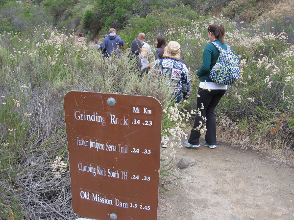
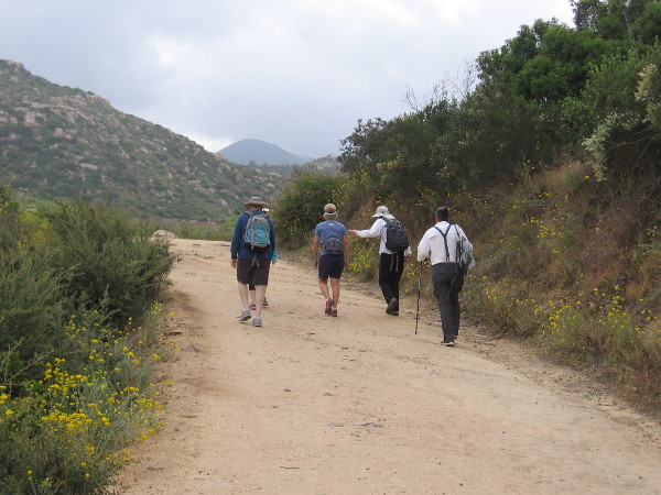
I took the following photographs today during a long looping walk around the west half of Santee.
From the Santee Trolley Square transit station I headed north up Cuyamaca Street, then west along Mast Boulevard to the East Fortuna Staging Area at Mission Trails Regional Park. After taking a short hike in the park, I headed south down West Hills Parkway and back east to the trolley station via Mission Gorge Road.
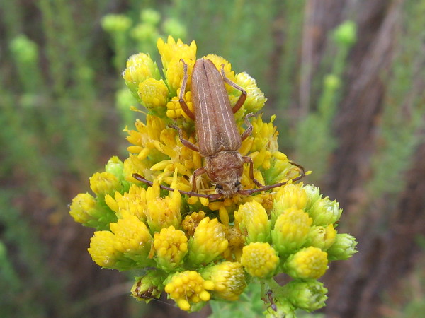
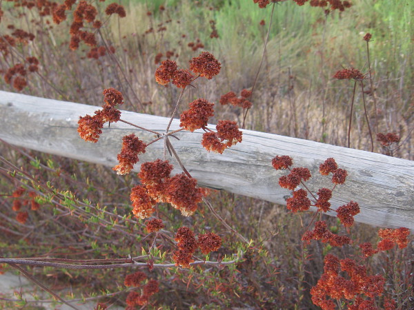
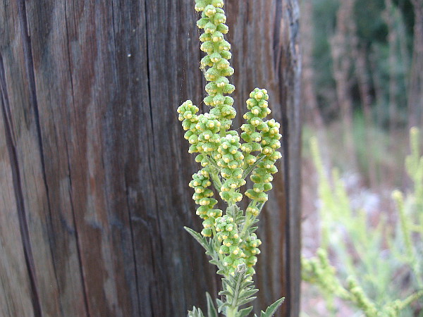
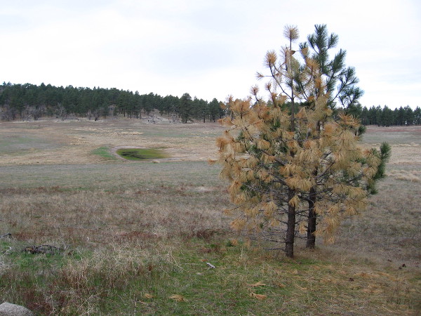
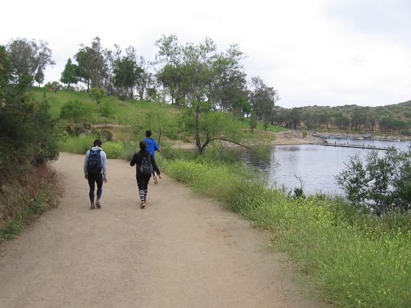
During the walk through Santee I snapped these photographs. Much of the walk was past homes, schools and businesses, but there were also these glimpses of natural beauty. (Additional photos that I’ll post in the next day or two include my short Mission Trails hike, an unusual historical monument, and very unique public artwork.)
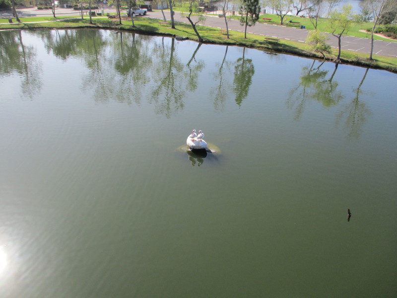
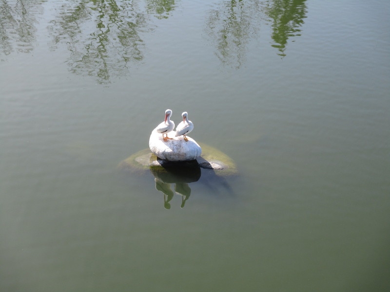
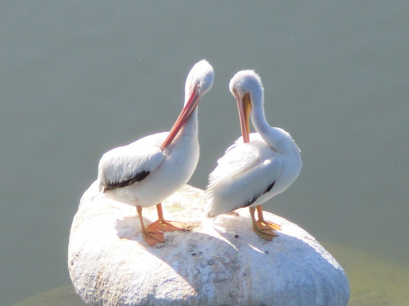
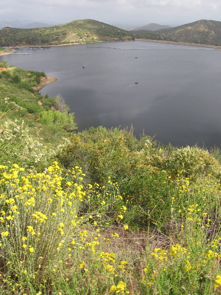
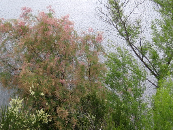
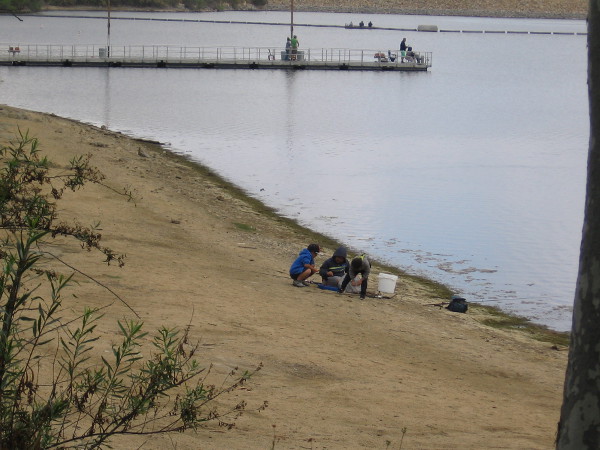
The following three photos were taken as I walked down Mast Boulevard over Santee Lakes Recreation Preserve. Far below, in the middle of Lake 2, two white pelicans were standing on a rock. I also saw dozens of swallows flying out from beneath the bridge, but the tiny birds darted about so swiftly I was unable to capture a good photograph of them. You can see one swallow zipping by in this first photo…
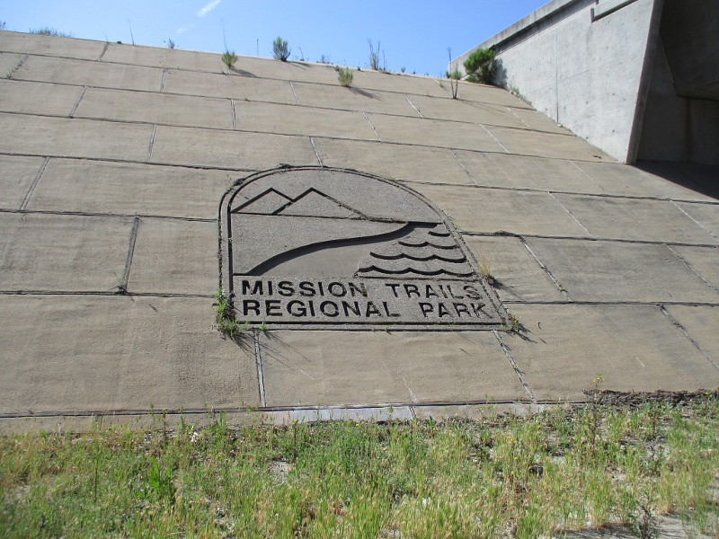
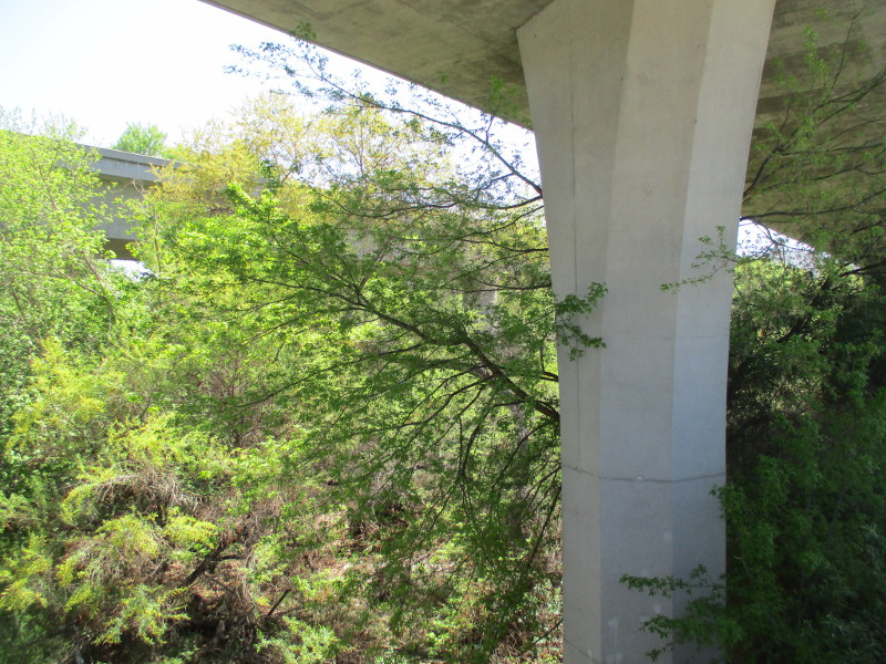
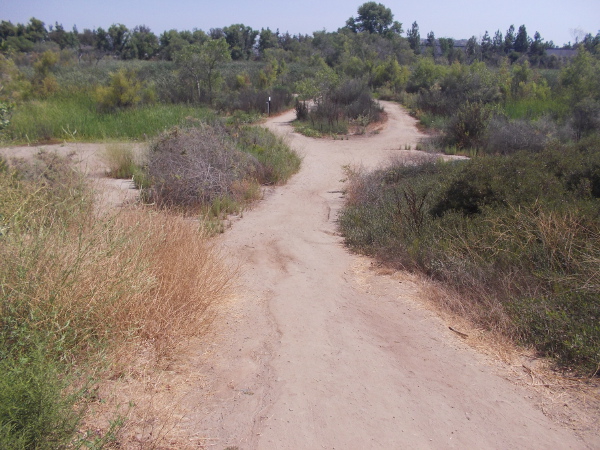
As I walked down Mast Boulevard under State Route 52, I saw an indication that I had almost reached Mission Trails Regional Park.
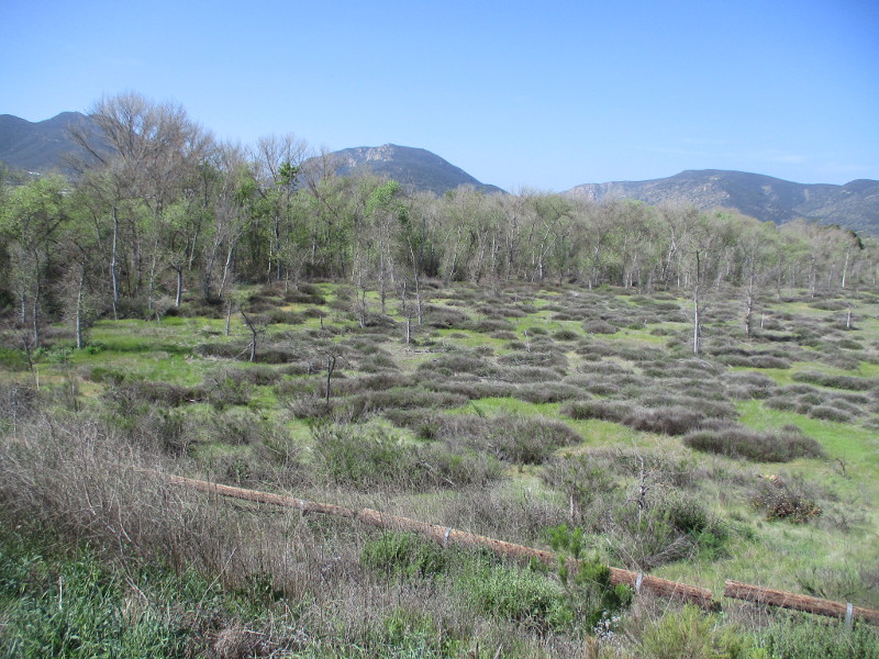
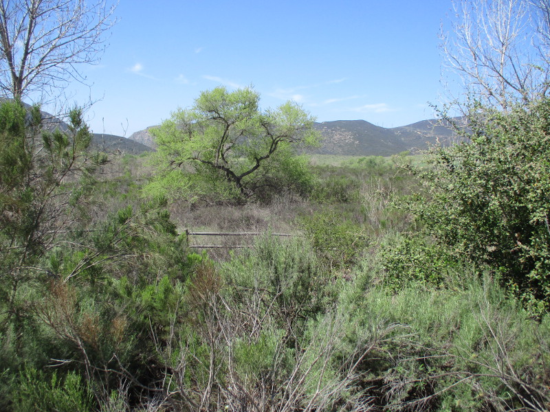
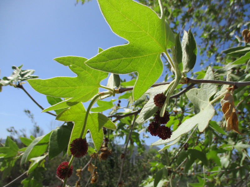
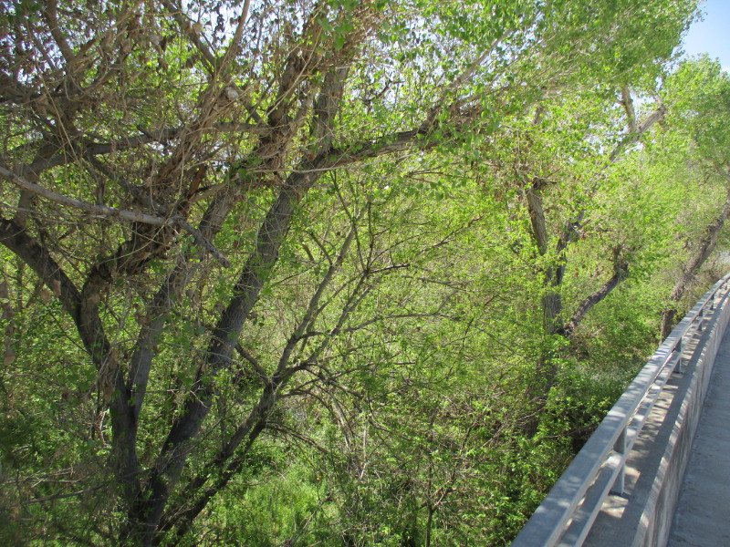
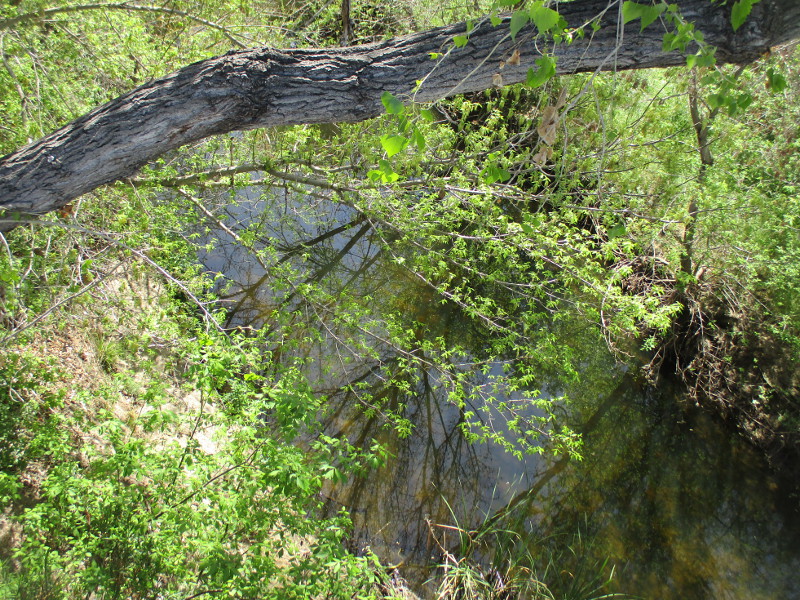
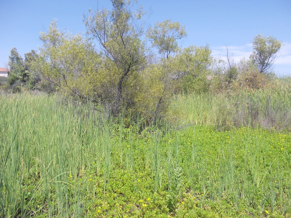
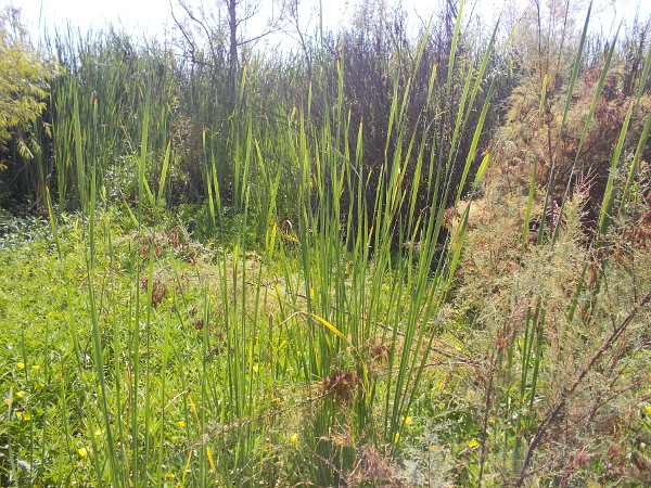
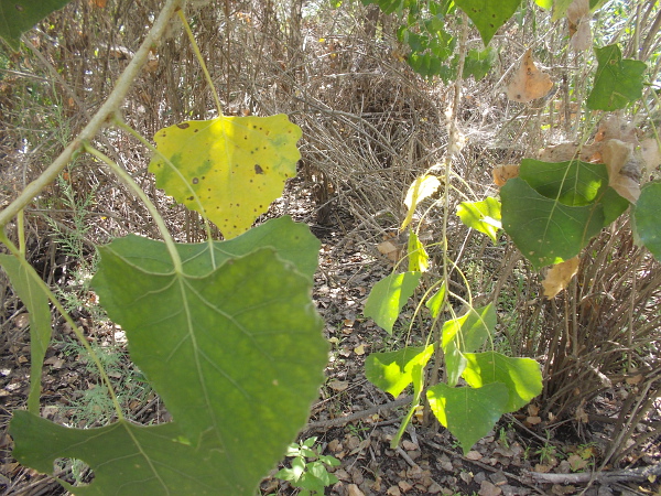
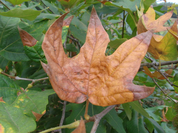
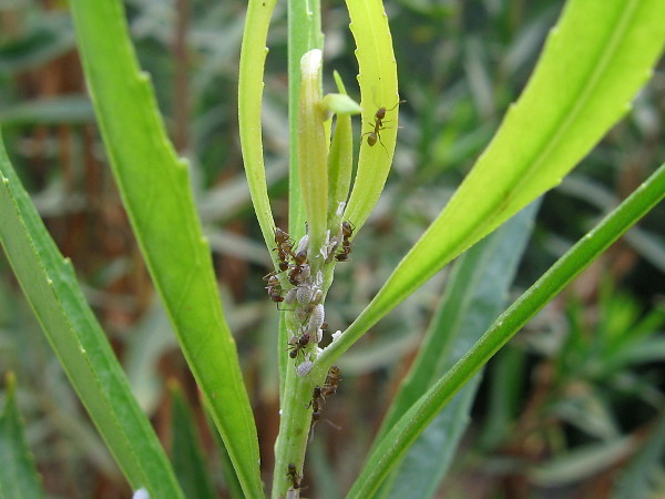
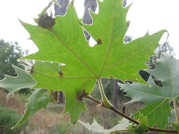
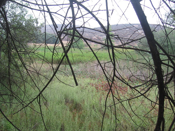
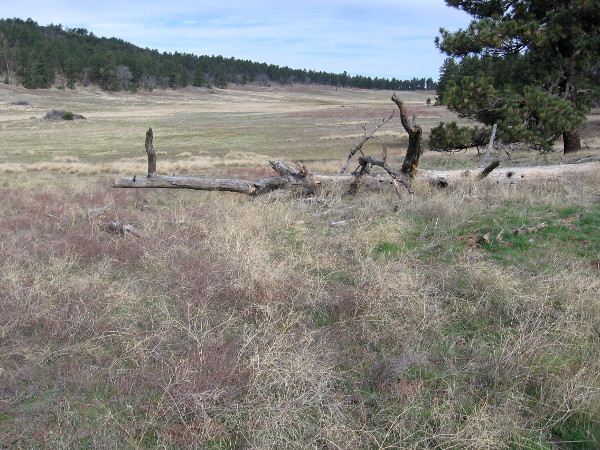
Then I headed into the East Fortuna Staging Area. From the entrance driveway and parking lot I took photographs of the mountains beyond trees lining the San Diego River, and some sycamore leaves.
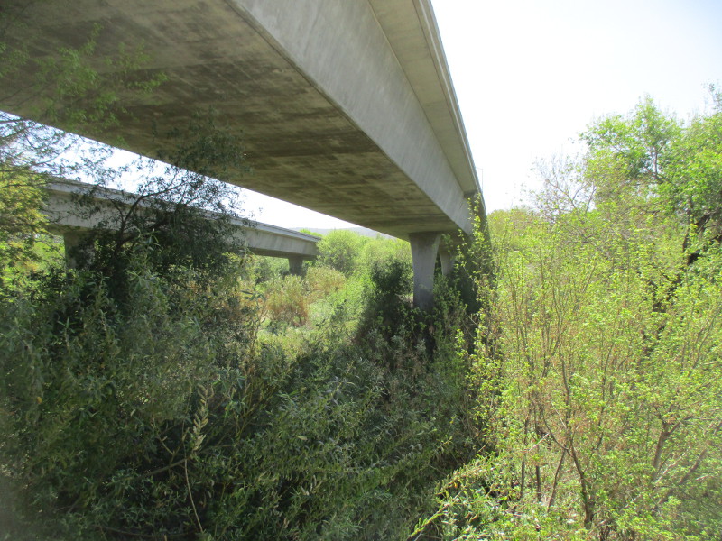
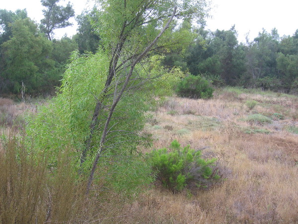
Walking south down West Hills Parkway took me to the place where State Route 52 passes over the San Diego River…
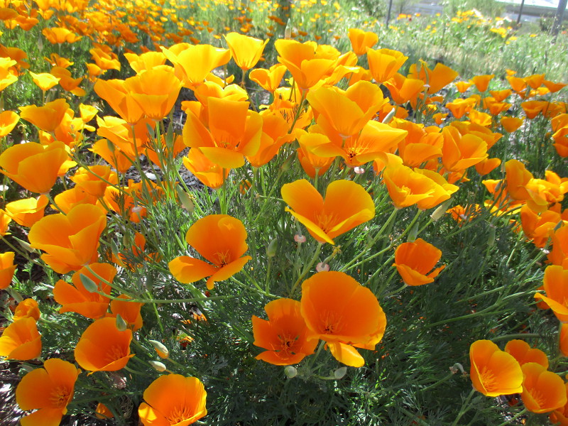
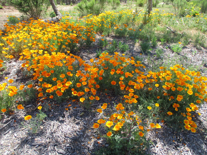
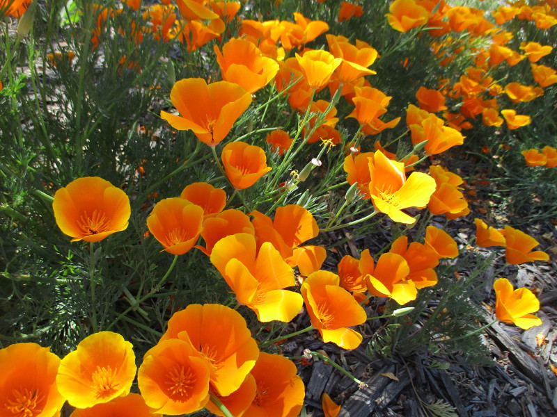
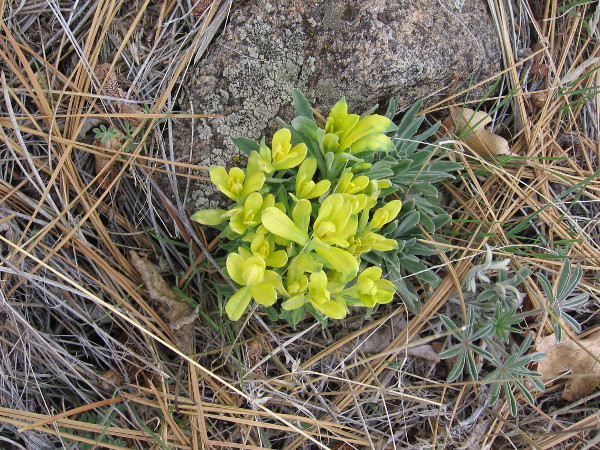
Finally, where State Route 125 meets Mission Gorge Road, I was surprised to find a beautiful golden patch of California’s State Flower: the California poppy.
(Incidentally, last Tuesday, April 6 was officially California Poppy Day!)
…
I live in downtown San Diego and love to walk around with my camera! You can follow Cool San Diego Sights via Facebook or Twitter!
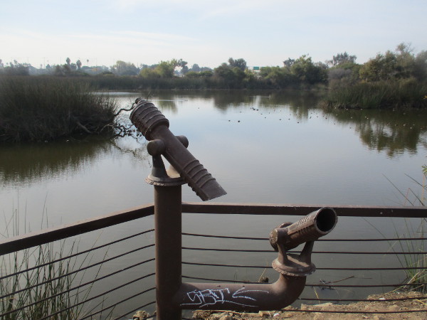
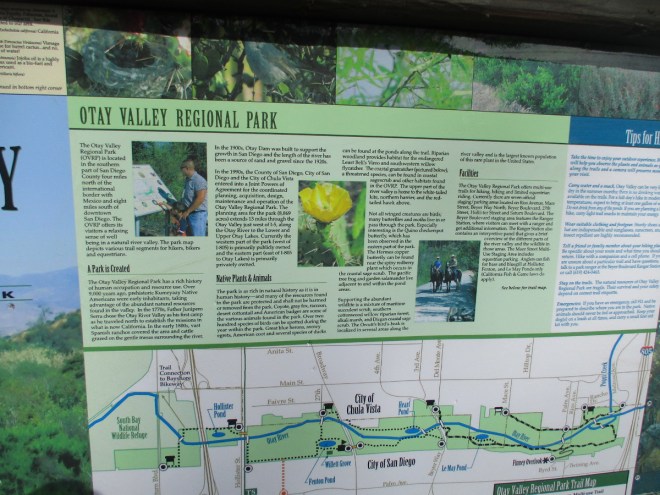
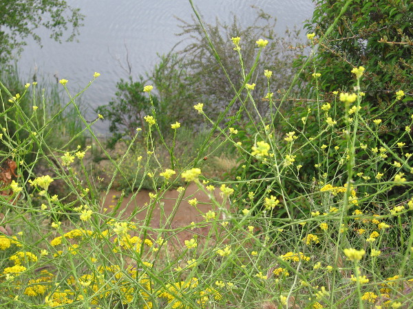
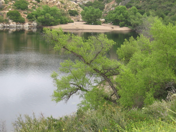
There’s a beautiful pond in San Diego’s South Bay that few seem to know about. It’s called Hollister Pond. It’s located near the west end of the large Otay Valley Regional Park.
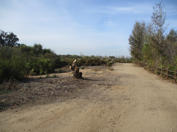
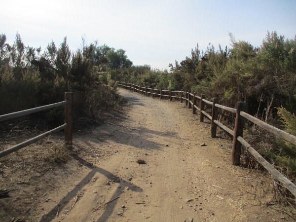
I walked down a dirt trail to this hidden pond yesterday.
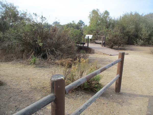
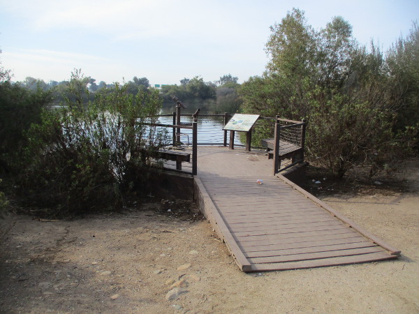
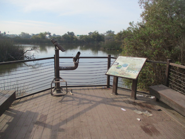
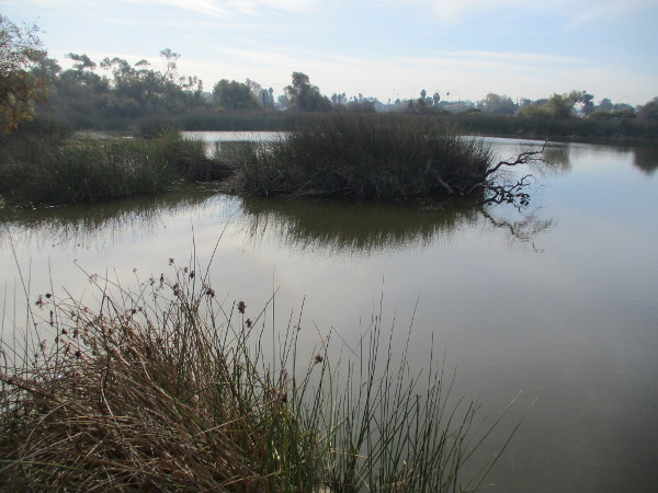
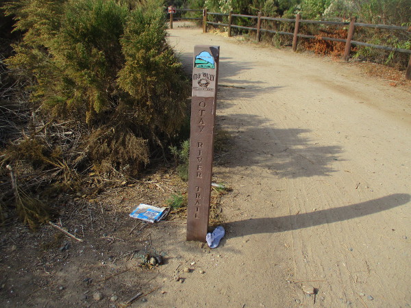
I started from Hollister Street, a short distance north of where it crosses the Otay River. The Otay River Trail heads west and soon reaches a small observation platform at the north edge of the pond.
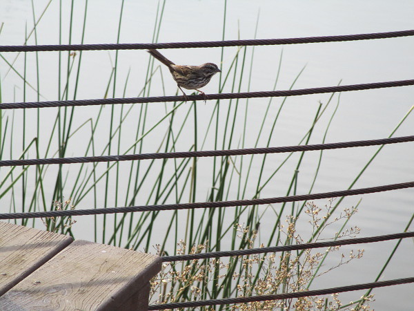
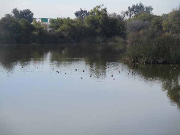
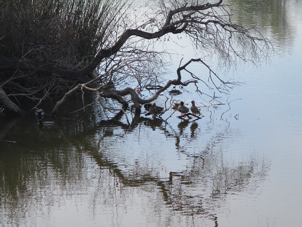
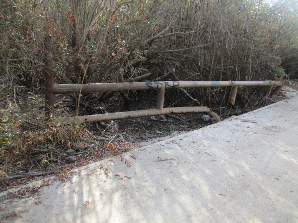
I saw nobody else on the trail on a sunny Saturday morning. Profuse litter and graffiti seem to indicate the presence of homeless people and perhaps gang activity in the area. So if you choose to walk here, be advised. But the hike is very easy and you will be rewarded by seeing hundreds of ducks, herons and other birds out on the water.
According to an information sign at the observation platform, Hollister Pond, like many other ponds along the Otay River valley, is actually a water-filled abandoned quarry, where sand and gravel was commercially mined. Wildlife one can find on or around the pond include the Snowy Egret, Mallard Duck and Baja California Tree Frog.
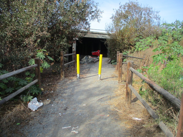
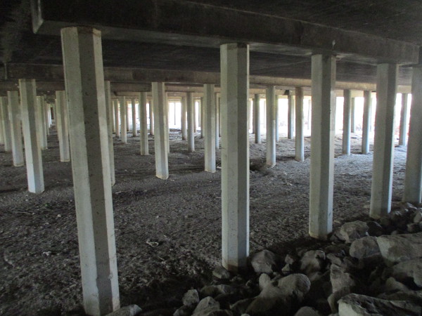
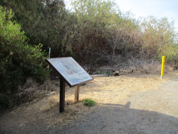
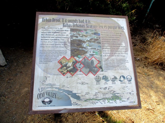
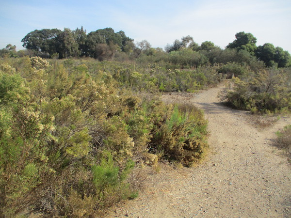
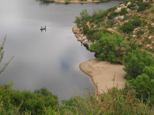
After taking in the sparkling scenery, I continued west on the Otay River Trail, which passes through the darkness underneath Interstate 5, then passes a sign concerning preventable urban pollution. Unfortunately, hundreds of toxic spray paint cans are tossed along the river by those vandalizing the park with graffiti.
The trail then turns south and crosses over the Otay River bed. It’s a spot that likely becomes impassable after a good rain.
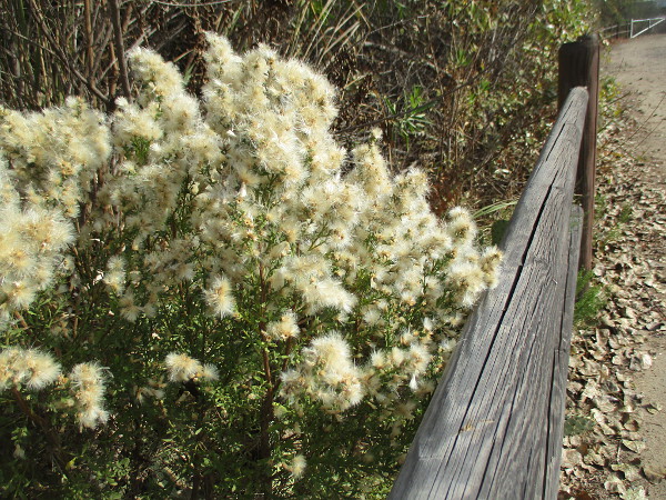
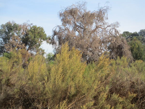
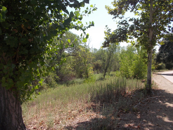
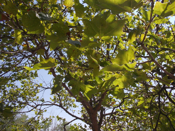
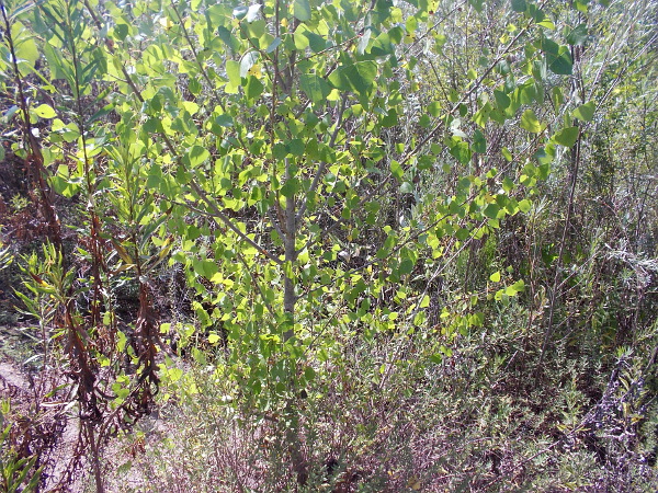
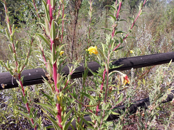
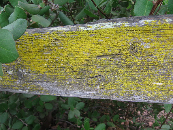
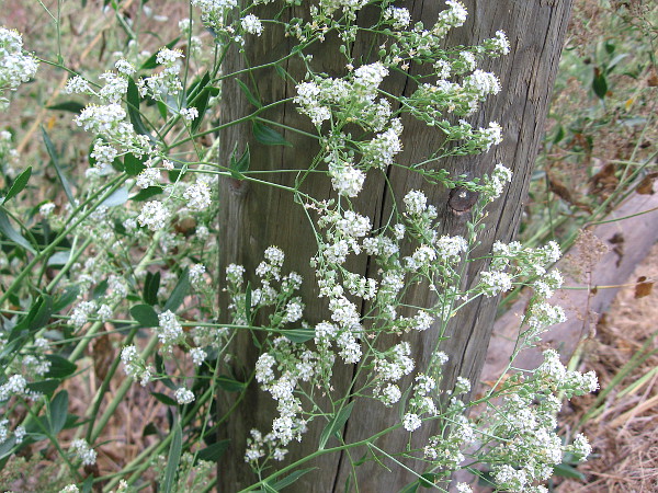
As I walked I took photographs of trees and native plants in the warm sunlight.
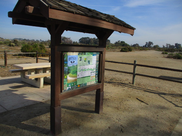
The trail eventually reaches a small parking lot behind a Home Depot at the north end of Saturn Boulevard in Imperial Beach. The area features a kiosk, picnic table, and several people who appeared to be using drugs, whom I avoided.
If you’d like to go on a small daytime adventure in the South Bay, consider a visit to Hollister Pond! Google Maps shows the “Walking Path” that leads to it.
But please be careful and safe.
…
I live in downtown San Diego and love to walk around with my camera! You can follow Cool San Diego Sights via Facebook or Twitter!
You can easily explore Cool San Diego Sights by using the search box on my blog’s sidebar. Or click a tag! There are thousands upon thousands of photos for you to enjoy!
Marker beside the San Diego River Trail in Santee.
Yesterday I walked along a section of the beautiful San Diego River in Santee.
I started from Cuyamaca Street and headed west down the San Diego River Trail. When I reached the east edge of Mast Park, I turned south onto a dirt path, crossed the river via a footbridge, then turned back west once I reached a trail that follows the south side of the river. I continued west along a wooden fence until it came to an end, then turned back to Cuyamaca Street.
Here are my photos.
Starting west from Cuyamaca Street on the north side of the river.
View toward the river broadens from the trail. (I continued to walk west and didn’t follow this particular dirt path.)
A bat box near the river.
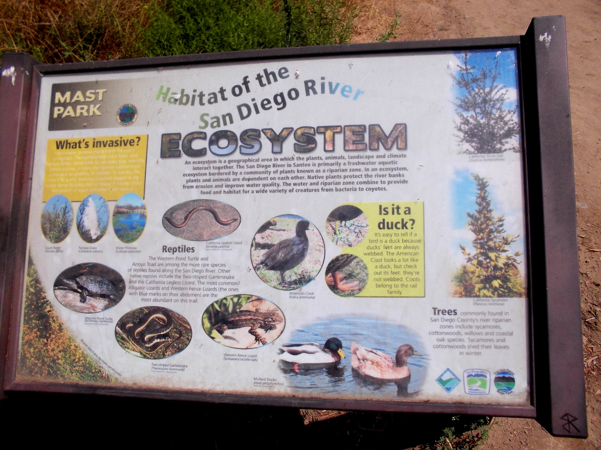
Sign at Mast Park describes habitat of the San Diego River Ecosystem. Snakes, lizards, turtles and ducks live here, plus many other birds.
Beginning south down a dirt path toward the river.
Bright river foliage.
A wet, marshy area at the river’s edge.
Approaching a footbridge that spans the San Diego River.
Looking west from the bridge on a summer’s day. It hasn’t rained for a long time. The river here resembles a series of small lakes.
Looking east from the bridge.
Continuing south.
Light in leaves.
Duckweed in pooled river water.
Another sign south of the river. Except for the largemouth bass, all the creatures shown are native to California and the river.
Looking back north. I now turned west again and continued my walk.
A sign tells people to keep away from the endangered Least Bell’s Vireo nesting area.
Following a wooden fence.
More light in leaves.
…
I live in downtown San Diego and love to walk around with my camera! You can follow Cool San Diego Sights via Facebook or Twitter!
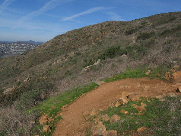
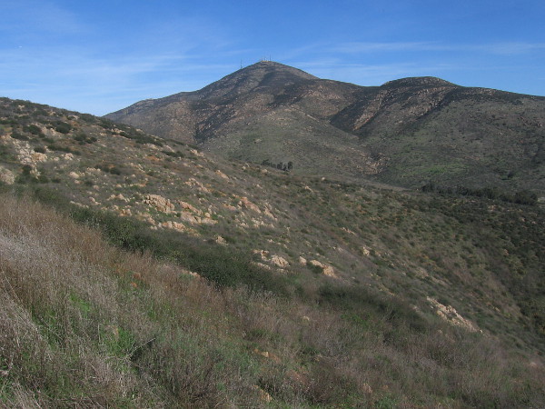
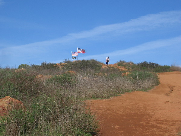
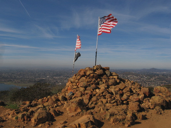
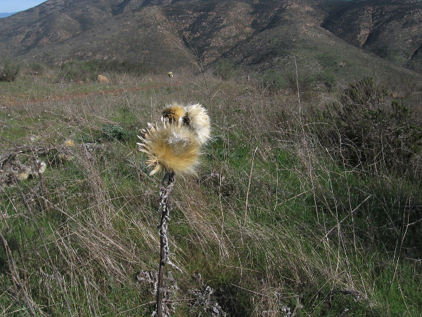
At the top of Mother Miguel Mountain you’ll find the Rock House and its flags, and a view of nearby San Miguel Mountain.
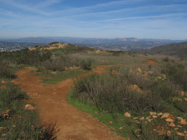
Today I enjoyed a hike to the top of Mother Miguel Mountain, just northeast of Chula Vista. While not as high as nearby San Miguel Mountain, the views of the southern part of San Diego from Mother Miguel Mountain are pretty amazing.
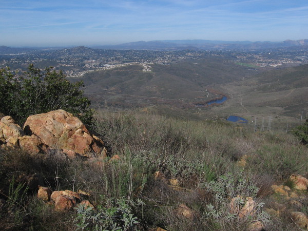
On a clear day you can see Mexico, San Diego Bay, Coronado, downtown, Point Loma, and various peaks including Otay Mountain, Mount Soledad, Cowles Mountain and Mt. Helix. Looking down to the south you can see Salt Creek Golf Course, which was closed a couple of years ago and will undergo future development.
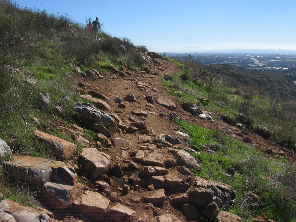
Fortunately it wasn’t very hot today, being early January. I just wore jeans, a simple shirt and some good shoes. Should you hike this steep rocky trail on a hot day, make sure to bring lots of water. There are virtually no trees and no shade. And it’s a constant very rocky climb. Pay attention to where you step and wear boots or shoes with a good grip!
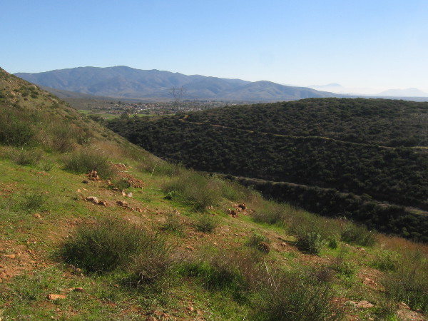
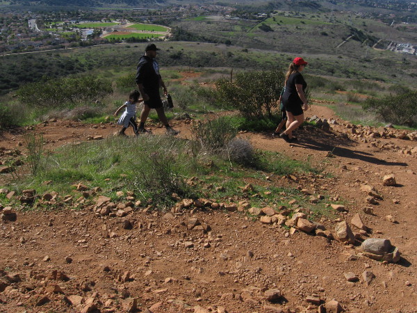
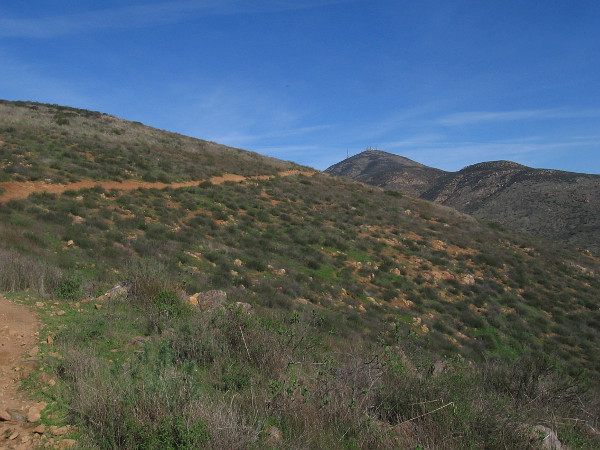
In addition to a fair number of other hikers and some mountain bikers, I saw half a dozen ravens circling above and below, a few cacti, lots of sagebrush and wild grass, and many crumbled rock outcroppings. To the northwest one can look down at Sweetwater Reservoir. And of course, there’s impressive nearby San Miguel Mountain, rising not far to the northeast.
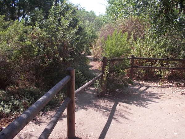
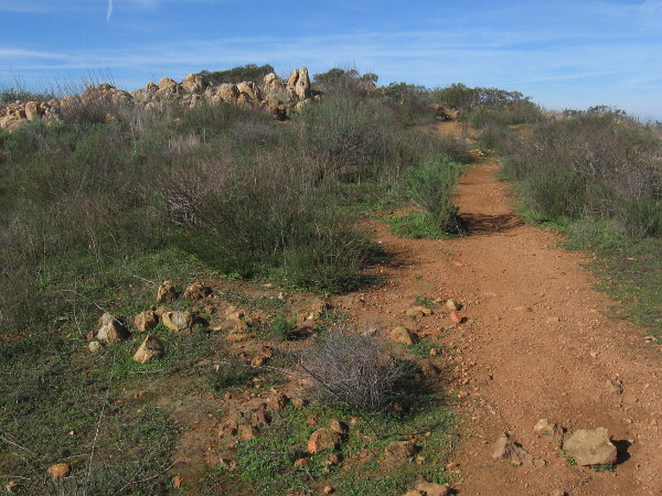
I started at the trailhead at the corner of Paseo Veracruz and Paseo Los Gatos and started up the Rock House Trail for the peak! It’s a moderately difficult 4.3 miles round trip with a 1,171 feet elevation gain. Follow the designated trail, which has many switchbacks.
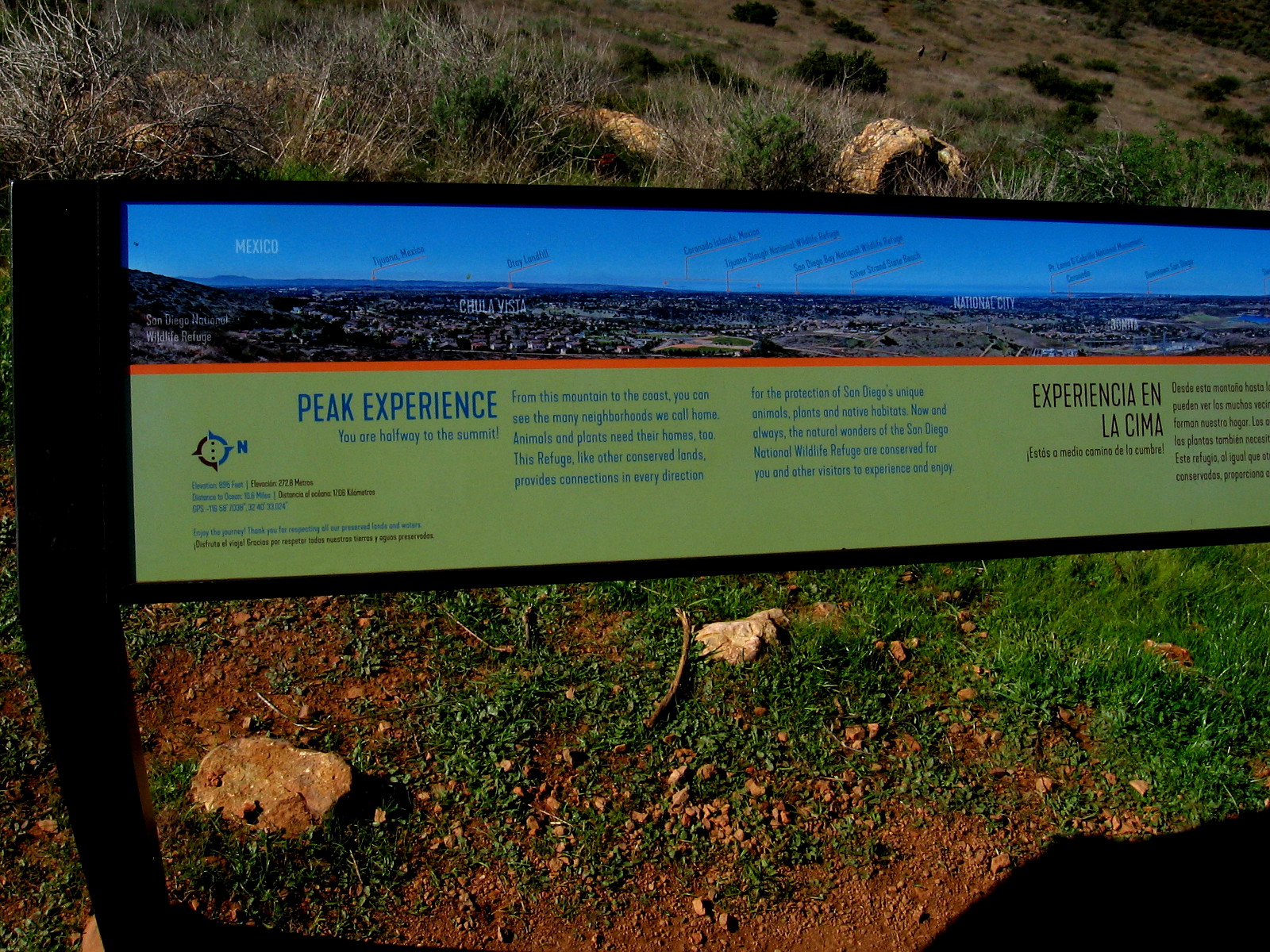
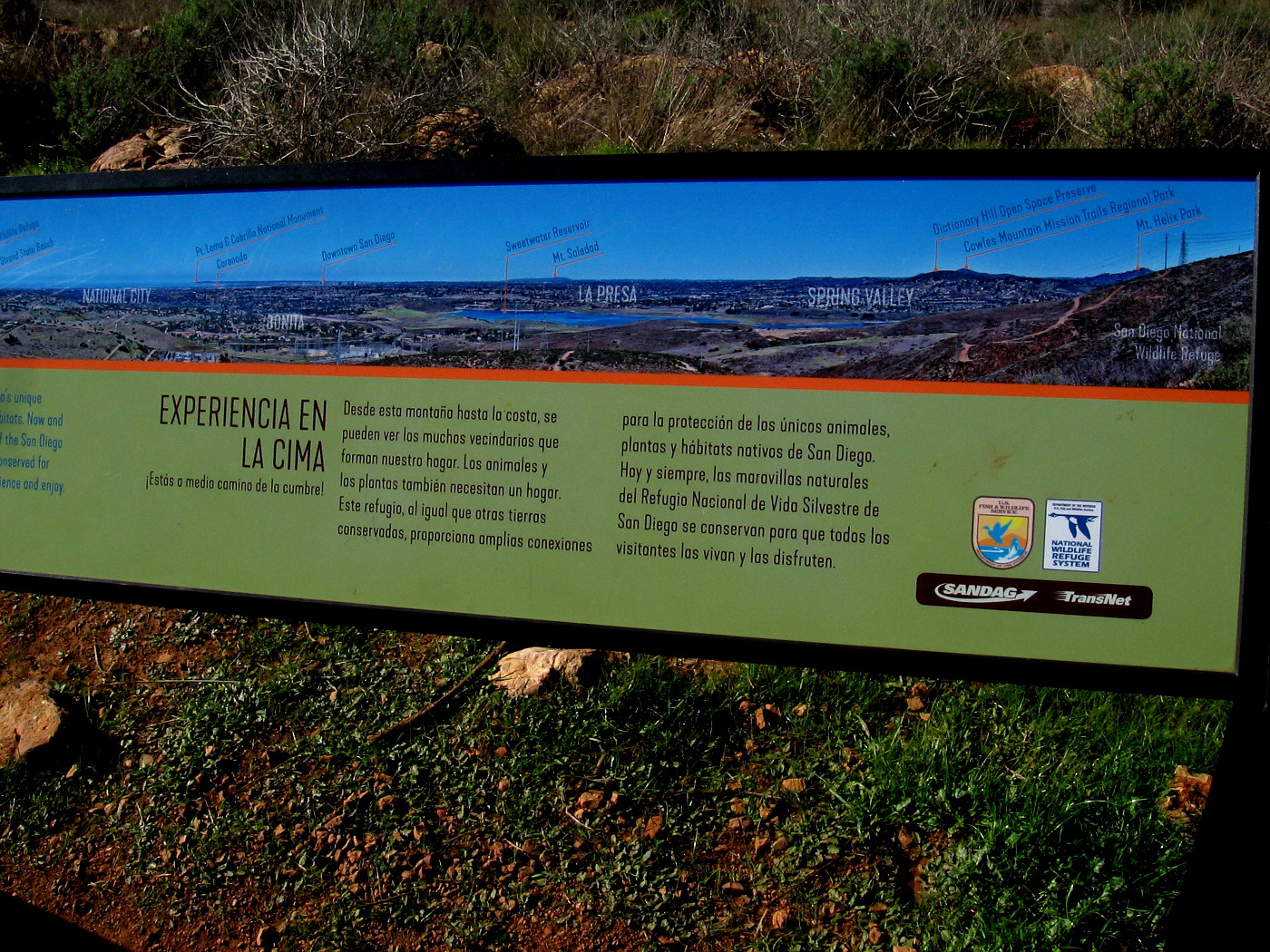
Halfway up you find a sign which points out and names many of the distant sights that are visible. From there, the trail gets steeper. (Those airplanes flying overhead are making their approach to San Diego International Airport which is near downtown!)
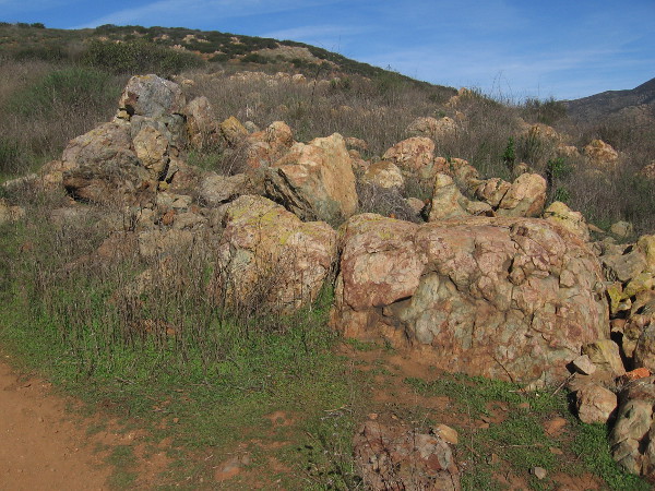
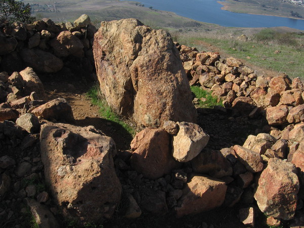
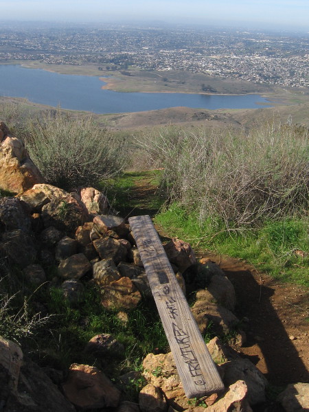
At the top of Mother Miguel Mountain is the Rock House: a large mound of rocks with several flags and an adjacent low stone open shelter. On all sides are scenic views. If you proceed a little beyond the Rock House, there’s a large outcropping and nearby crude wood bench with a small plaque. From it you can look toward the northeast and see distant El Cajon Mountain, often called El Capitan.
If you want to read the photos of signs, click the images and they will expand for easy reading.
Now come along with me and get a taste of this rewarding hike!
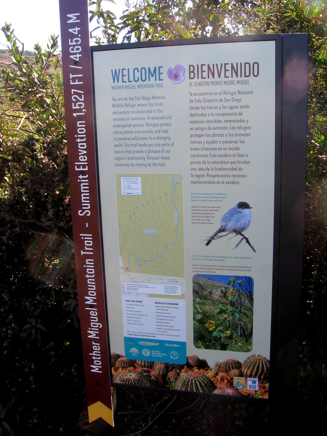
The Mother Miguel Trail Head Bulletin Board contains useful information and a topographic map for hikers.
The Mother Miguel Mountain Trail is inside the San Diego National Wildlife Refuge. Stay on the designated trail to protect the habitat of many animal and plants species, some of which are endangered.
Starting up the trail, which was muddy in spots. This winter it has been rainy in San Diego.
One of two information signs, on opposite sides of a very small bridge spanning a tiny creek.
Sign describes this part of San Diego National Wildlife Refuge and protecting natural biodiversity.
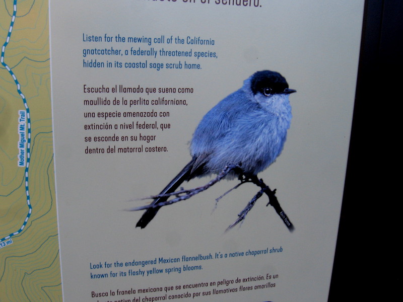
The small California gnatcatcher makes its home on Mother Miguel Mountain.
Second sign describes the Quino checkerspot butterfly, which is listed under the federal Endangered Species Act.
A section of very rocky trail.
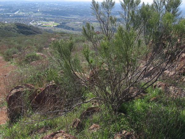
Looking down after climbing for a bit. I could see downtown San Diego and Point Loma in the far distance.
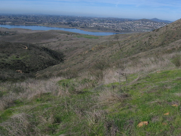
Sweetwater Reservoir appears below.
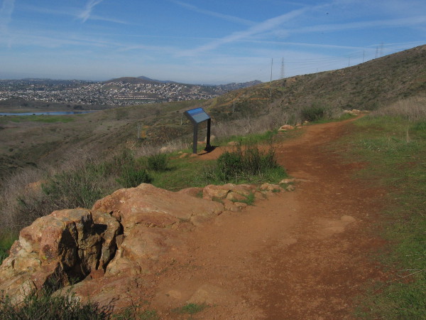
Another sign ahead.
Left part of long sign, showing peaks and features from Mexico northward.
Right part of sign shows sights to the northwest, as far away as Mount Soledad in La Jolla.
Looking southward toward the San Ysidro Mountains and Mexico.
Looking back down the trail, you can see green Mount San Miguel Park with its sports fields, not far from the trailhead.
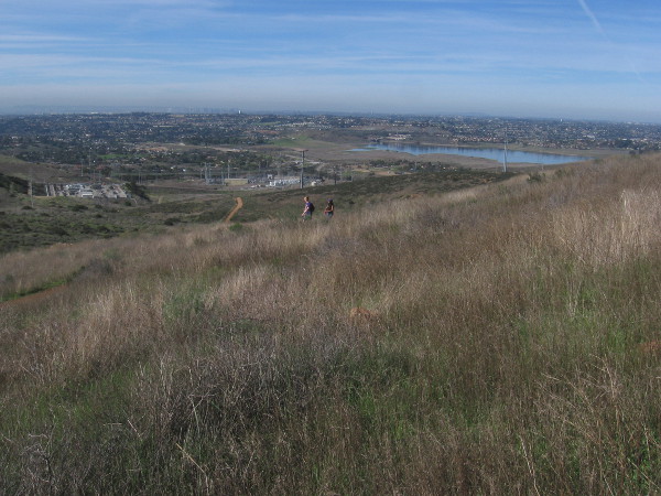
The view of Sweetwater Reservoir keeps getting better as we climb.
You can see some of the now closed Salt Creek Golf Course to the southeast.
San Miguel Mountain rises to the northeast.
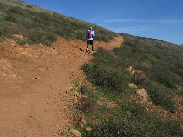
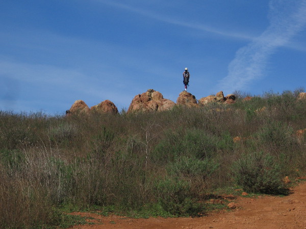
Someone stands on an outcropping just below the summit of Mother Miguel Mountain.
Mount San Miguel Park is now far below.
Flags show we’ve almost reached the Rock House atop Mother Miguel Mountain.
We made it!
A couple of hikers brought a blanket to rest on the grass beneath the sky.
This rocky enclosure at the Rock House might provide a little bit of shelter on a windy day.
Continuing along, we approach another rock outcropping atop Mother Miguel Mountain.
The view to the northeast includes part of the Cuyamaca Mountains.
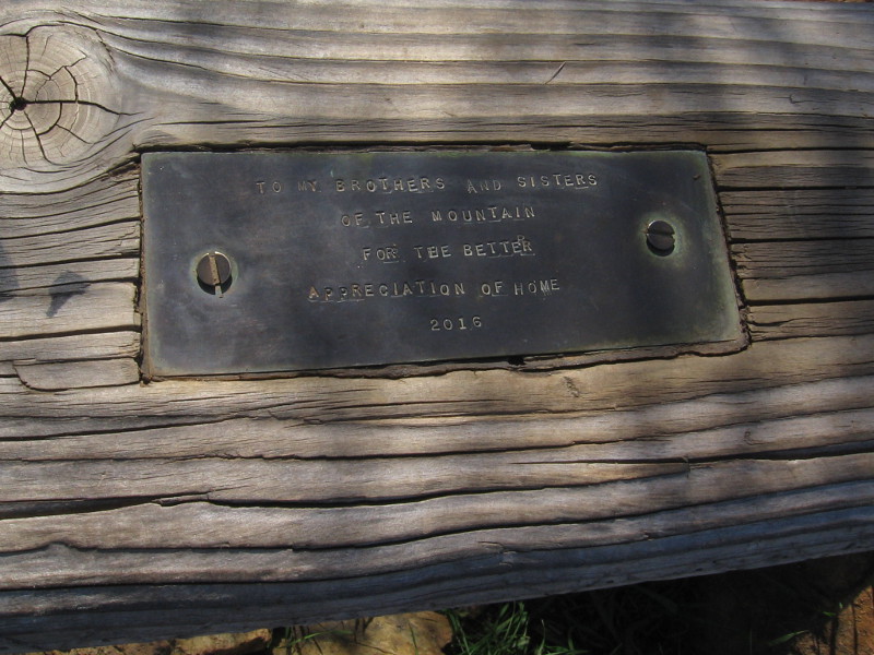
A simple wood plank serves as a bench. I was surprised to see it has a plaque.
TO MY BROTHERS AND SISTERS OF THE MOUNTAIN FOR THE BETTER APPRECIATION OF HOME — 2016
…
I live in downtown San Diego and love to walk around with my camera! You can follow Cool San Diego Sights via Facebook or Twitter!
You can easily explore Cool San Diego Sights by using the search box on my blog’s sidebar. Or click a tag! There are thousands upon thousands of photos for you to enjoy!
Early this morning, before the summer sun could make hiking very hot, I enjoyed a slow, quiet walk near the Sikes Adobe Historic Farmstead in Escondido.
I followed the Coast to Crest Trail for a bit, passed over Kit Carson Creek, and gazed off toward the willows and sycamores that line the edge of Lake Hodges and the San Dieguito River.
I lifted my camera when my eyes happened to perceive another instance of natural beauty.
…
I live in downtown San Diego and love to walk around with my camera! You can follow Cool San Diego Sights via Facebook or Twitter!
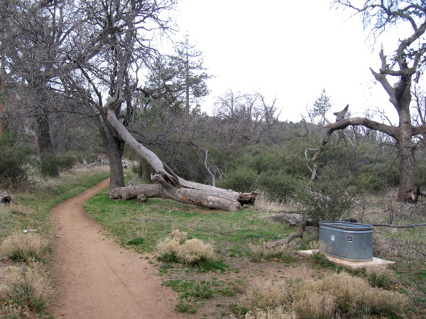
Stepping from the Penny Pines parking area on Sunrise Highway to the Nobel Canyon trailhead.
This morning I went on a walk in the Laguna Mountains. The pine-covered Lagunas, about an hour’s drive east of downtown San Diego, reach just over 6000 feet in elevation.
After parking at the Penny Pines area on Sunrise Highway, I began west down the Noble Canyon Trail, then turned south onto Big Laguna Trail.
A morning walk in the mountains is so quiet and beautiful.
Come along with me! In these photos we’ll be heading a couple miles or so to Big Laguna Lake, a temporary body of water that appears in the winter and lingers until summer.
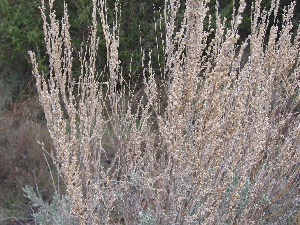
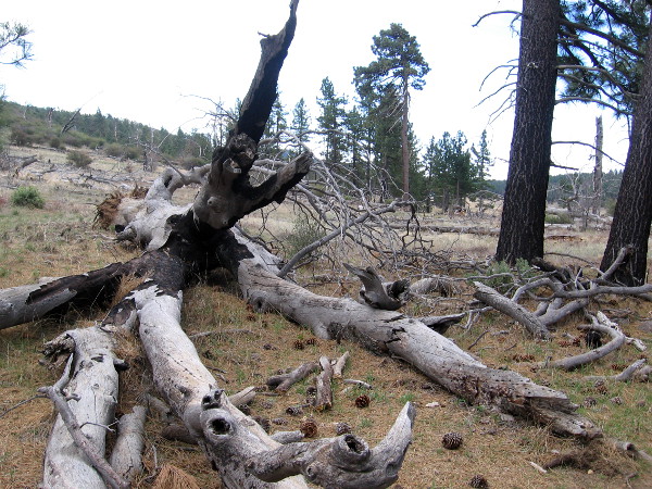
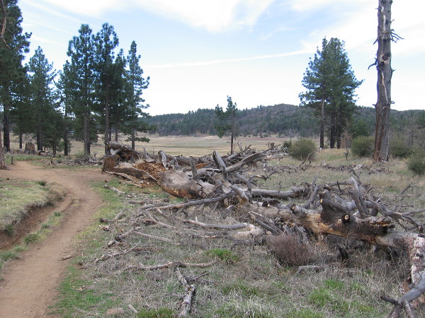
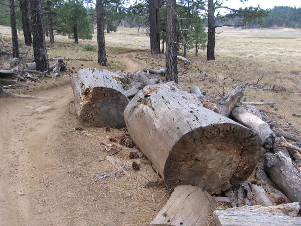
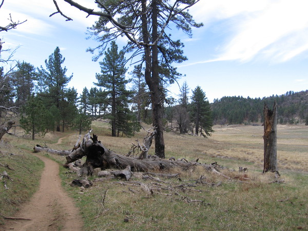
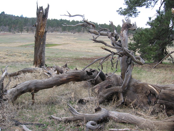
During my walk I saw many broken trees and stumps, victims over the years of bark beetles and periodic wildfires. At first the air was very chilly, but as the sun slowly rose its warmth felt good on my face. I heard plenty of birdsong, knocking woodpeckers, and the soft mountain breeze in branches. I smelled new green grass and the towering pine trees.
My eyes noted many signs of early spring.
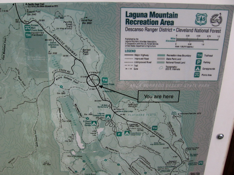
Part of a posted Map of Laguna Mountain Recreation Area. Big Laguna Lake forms during rainy season in Laguna Meadow.
Horses sometimes share the trail with hikers and mountain bikers.
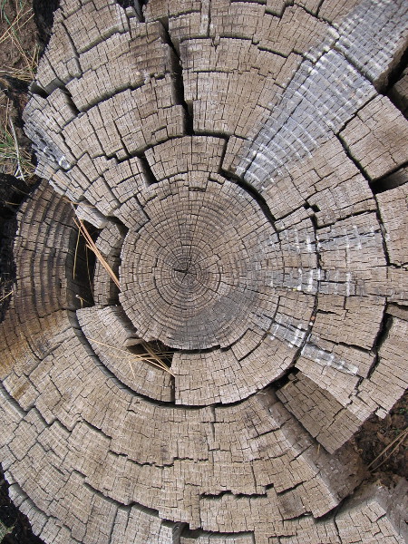
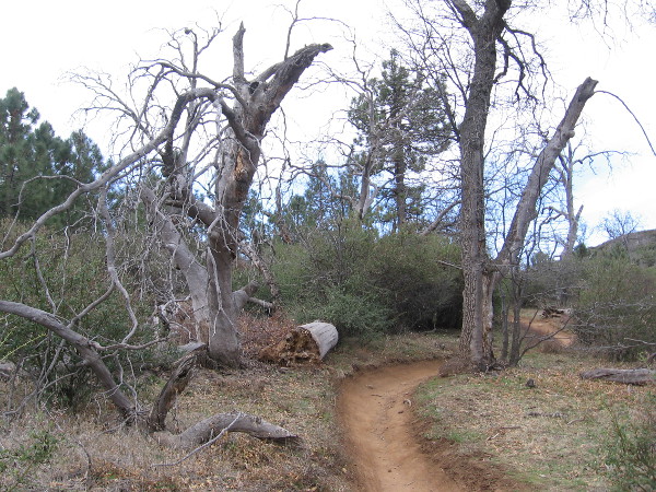
Many fallen tree limbs and trunks were along the trail. Victims of wildfires, beetles, and violent mountain storms.
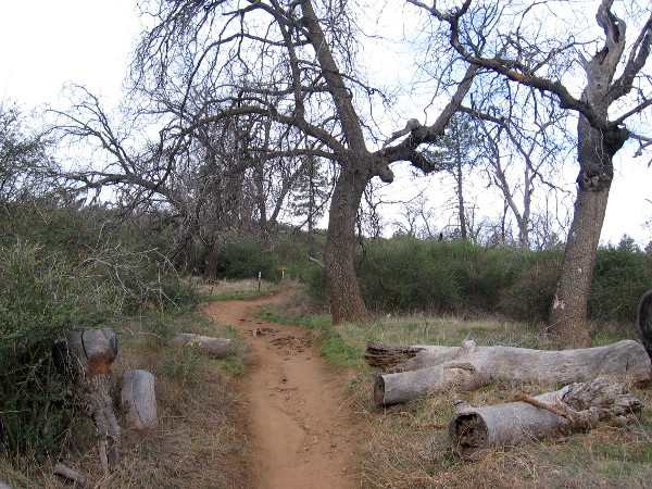
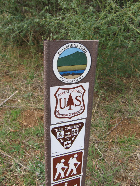
We’ve turned left onto Big Laguna Trail. Many of the hiking trails on Mount Laguna connect to the famous Pacific Crest Trail, which stretches from Mexico to Canada.
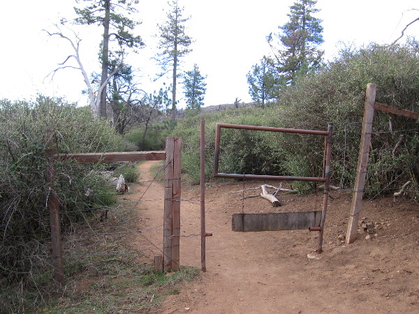
A swinging gate on the trail. Sometimes cattle are herded up in these mountains.
A beautiful early morning. The sun is still low and obscured by clouds and hills.
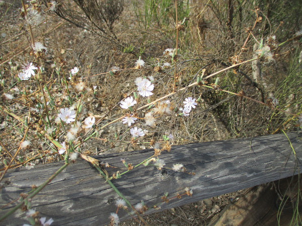
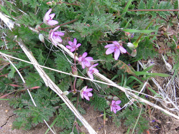
I saw a few small flowers along the trail scattered by spring’s fingers.
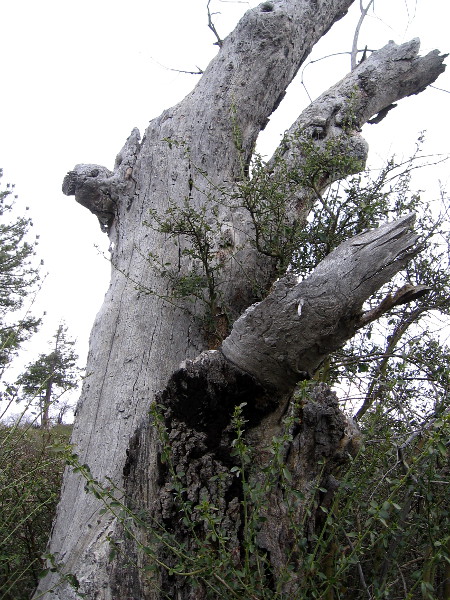
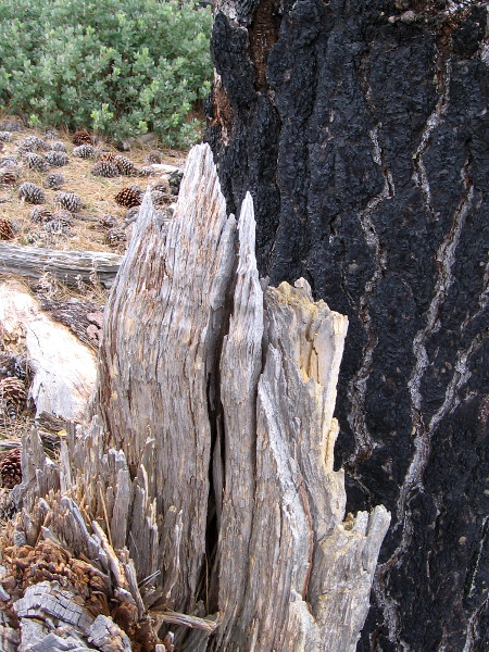
The jumbled broken trunks often appeared like abstract works of art.
Inner beauty exposed.
Wild and delicate.
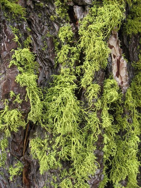
Moving forward.
A tale of many seasons.
Winter’s remnant.
Many elements.
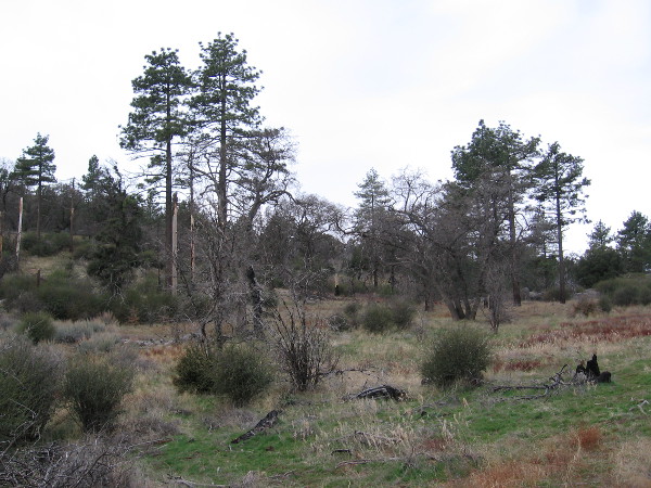
I’m about to enter the edge of Laguna Meadow. Around here a small group of Red-winged Blackbirds were jumping about tree branches and cheerfully talking to each other.
Some collected rain and snowmelt have formed a small green pond in the meadow.
I spy Big Laguna Lake ahead.
Turning my camera to the right, looking backward a bit.
A friendly mountain biker approaches.
Like a silver dream on the mountain.
…
I live in downtown San Diego and love to walk around with my camera! You can follow Cool San Diego Sights via Facebook or Twitter!
You can easily explore Cool San Diego Sights by using the search box on my blog’s sidebar. Or click a tag! There are thousands upon thousands of photos for you to enjoy!
I didn’t walk yesterday. I gave my legs a rest, watched football, did some work on the computer. I really missed being outside.
While Cool San Diego Sights tends to concentrate on walks in the city, I’ve taken quite a few photographs while journeying through or near natural beauty. My hikes are generally easy. Their central purpose is stimulate the mind and senses.
Here are photos from 14 nature hikes all around San Diego. Click the following links to discover trails of wonder near and far. Perhaps they’ll inspire you to see what’s out there.
Every walk in one’s life can open unexpected vistas. Natural beauty and adventure await in every direction…
This blog now features thousands of photos around San Diego! Are you curious? There’s lots of fun stuff to check out!
Here’s the Cool San Diego Sights main page, where you can read the most current blog posts. If you’re using a phone or small mobile device, click those three parallel lines up at the top–that opens up my website’s sidebar, where you’ll see the most popular posts, a search box, and more!
To enjoy future posts, you can also “like” Cool San Diego Sights on Facebook or follow me on Twitter.