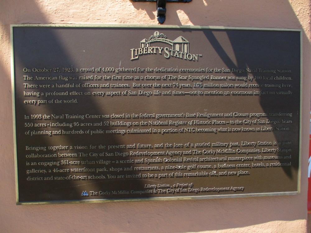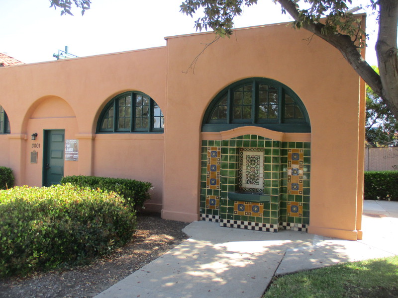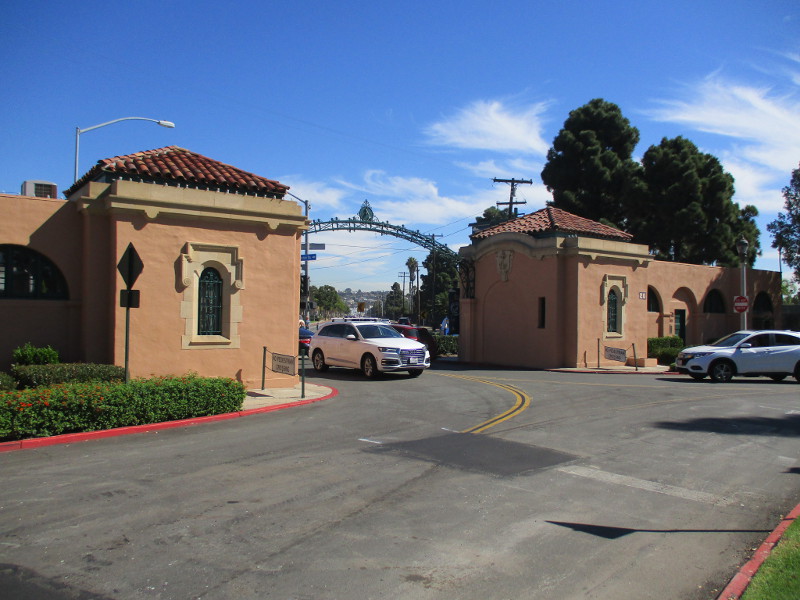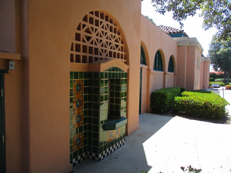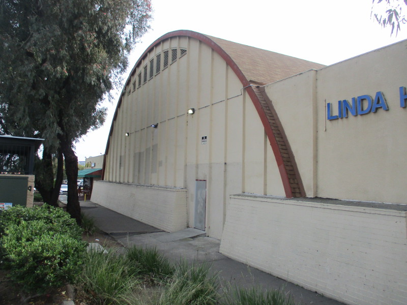
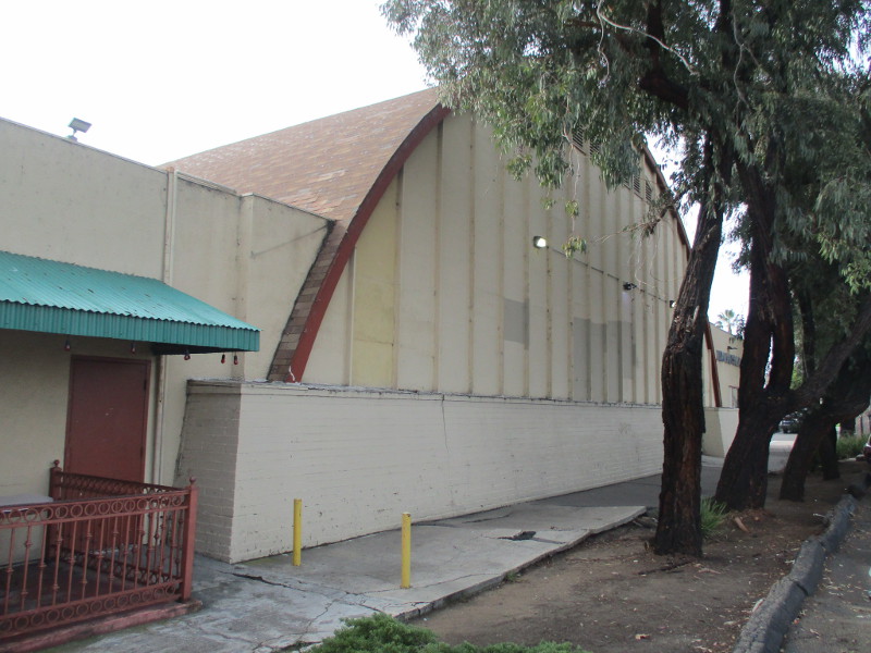
Skateworld, with a few other small businesses in Linda Vista, occupies a historically important building that was designed to be the center of community life during World War II.
The Linda Vista Tenant Activity Building was dedicated on December 26, 1943 and stood at the center of the federally constructed Linda Vista Housing Project. The project provided 3001 dwelling units for aircraft and shipyard defense workers in San Diego during the war.
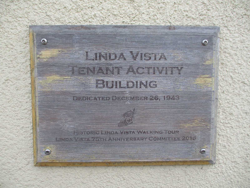
A historical plaque a short distance up Linda Vista Road provides more information about the government housing project. See past photographs of that plaque here.
The Tenant Activity Building was designed like a field house or drill hall and served as a hub for social events, clubs, and all-ages activities. It would later be considered for historic designation due to its role in supporting war-effort morale and its unique architecture.
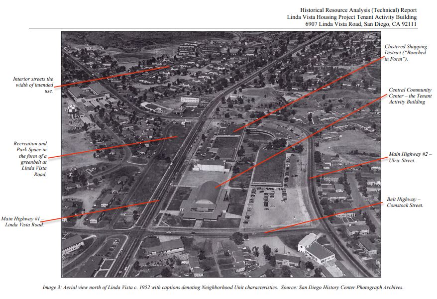
You can read the 2011 Historical Resource Analysis (Technical) Report on the City of San Diego website by clicking here. The report contains a great deal of additional information, including photographs.

Here’s a circa 1952 aerial view of the Linda Vista House Project and its Tenant Activity Building from the report. The center of the building with its high barrel roof today provides a perfect, roomy space for roller skaters at Skateworld.
…
If you’d like to see San Diego through my lens, find the “Follow” box in the sidebar to receive new posts in your email, or bookmark coolsandiegosights.com and swing on by occasionally!
(If you’re viewing Cool San Diego Sights on a phone, you can open my website’s sidebar by tapping those three parallel lines at the top of the page.)