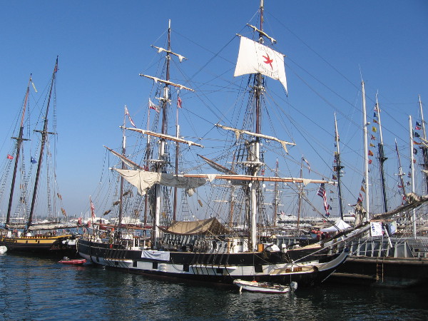
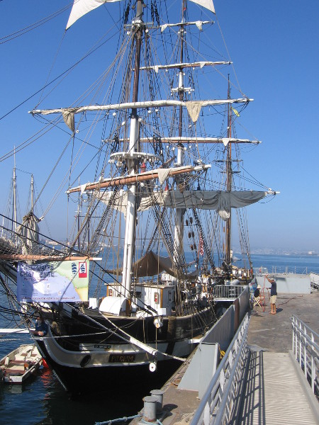
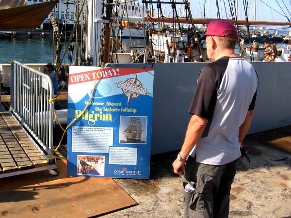
One of the world’s most famous sailing ships has returned to San Diego after 180 years!
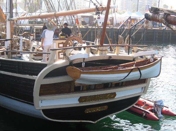
Well–ahem–actually, a replica of the Pilgrim, the ship that became immortal in Richard Henry Dana Jr.’s classic book Two Years Before the Mast, sailed into San Diego Bay a few days ago. It’s one of many beautiful tall ships participating in this Labor Day weekend’s 2014 Festival of Sail.
This morning I got a bunch of pics of the festival and all the amazing ships along the Embarcadero. But I decided to start off by writing a blog post about the Pilgrim, which has a warm spot in my heart.
Every so often I reread Two Years Before the Mast, when I get a hankering to revisit the true, very interesting and adventurous tale written by Dana about his difficult voyage around Cape Horn and along the mostly uninhabited California coast as a common sailor. For some reason I feel a strange kinship with the author. Whenever I enjoy the book, I always try to envision what his hardy cattle hide trading ship looked like.
Today’s replica of the brig Pilgrim began as a three-masted schooner built in 1945 in Denmark; it was then converted to a brig in 1975 in Portugal. Now it’s a floating classroom with the Ocean Institute in Dana Point, California. The ship was used in Amistad, a movie directed by Steven Spielberg. While no one knows precisely how the original Pilgrim appeared, it quite likely resembled the ship I visited this morning.


I assume the figurehead of Dana holds a scroll because he went on to become a Harvard-educated lawyer. He advocated for groundbreaking laws which protected the common sailor and made life at sea for many a bit less dangerous and unfair.
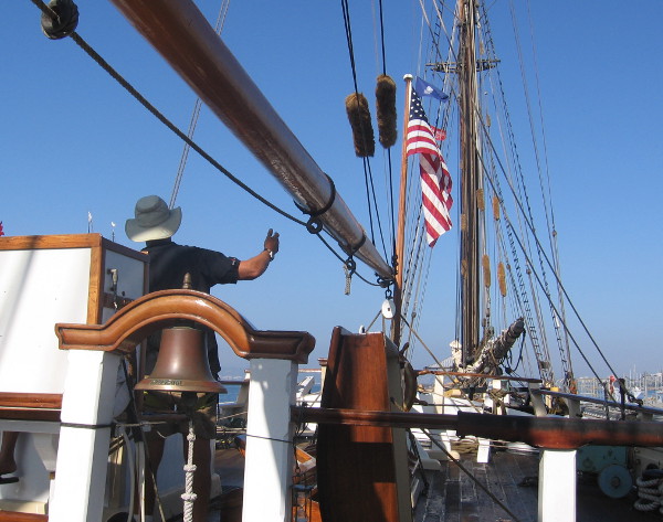
Sadly, the gentleman welcoming visitors on board (not the guy pictured) apparently had never read Two Years Before the Mast. He didn’t seem to know anything about Dana’s stay in San Diego, cleaning and curing cattle hides just inside the bay at Point Loma, riding with his friend inland to the old Mission, and having memorable good times in Old Town when San Diego was in its infancy.


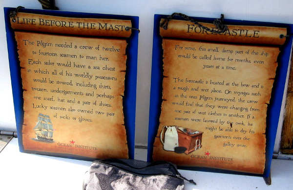


I like the passages in Two Years Before the Mast where Dana describes his difficult adjustment to the seafaring life.
The above sign includes his reaction after following the cook’s advice: “I got a huge piece of strong, cold salt beef from the cook and kept gnawing upon it until twelve o’clock. When we went on deck, I felt somewhat like a man, and could begin to learn my sea duty with considerable spirit.”

The West Coast was a mostly desolate, seldom-visited frontier in those days long ago. It was a place of danger, difficult undertakings and true discovery. Sometimes during my easy walks around and about San Diego, I try to imagine the glorious horizons and raw natural beauty unaltered by modern development. It’s a place in time that now exists only in memory. And in great books.
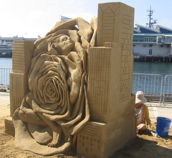
…
To enjoy future posts, you can “like” Cool San Diego Sights on Facebook, or follow me on Twitter.