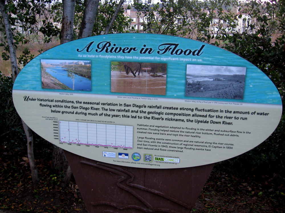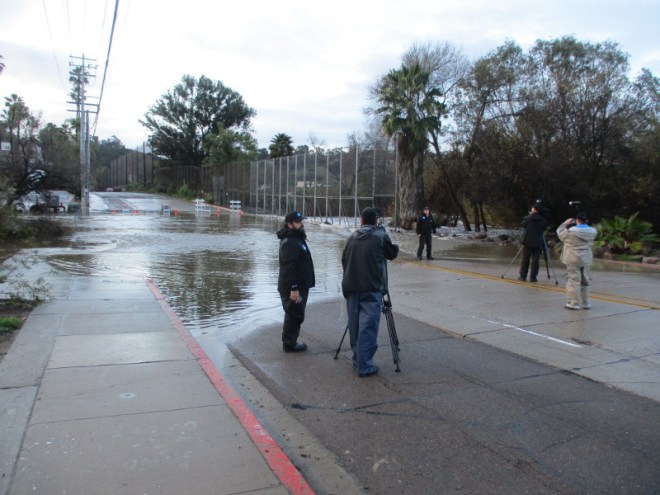
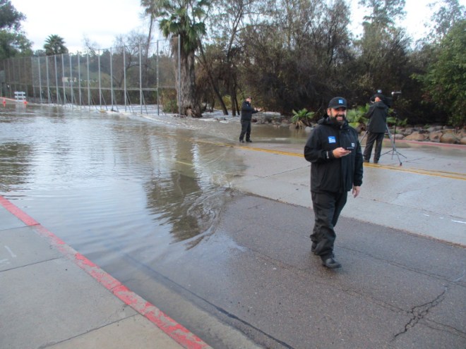
A crew from The Weather Channel was in San Diego this morning, covering flooding in Mission Valley caused by the rain-swollen San Diego River. It rained much of last night.
The Weather Channel had arrived for live storm coverage, aiming their cameras at high water passing treacherously over Fashion Valley Road.
I had twenty minutes to wait for a bus at the nearby transit center, so I walked down toward the river to check things out for myself. I received some smiles!

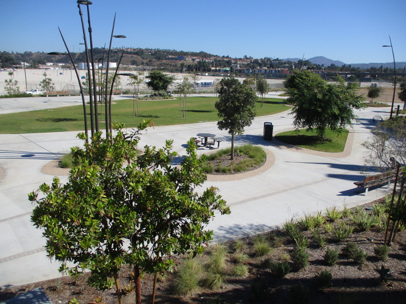
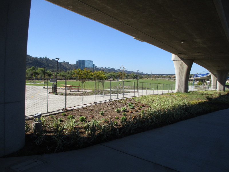
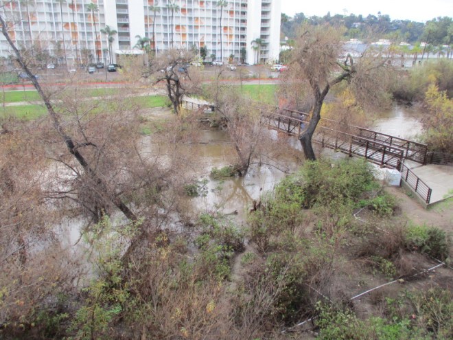
I then took a photo from the pedestrian bridge across the river to Town and Country Park, and another from the elevated Fashion Valley trolley station platform.

I had a couple more minutes, so I checked out the flooded Fashion Valley parking structure. It was actually designed to flood, believe it or not! Fortunately, no cars were caught in the water on the lowest level.

In the middle of the day, two tornado warnings were sent out to phones around the city. Apparently no tornadoes actually formed, although someone on the radio said they saw a very dark, low, rotating cloud in Spring Valley..
Was there a rainbow warning? There should have been!

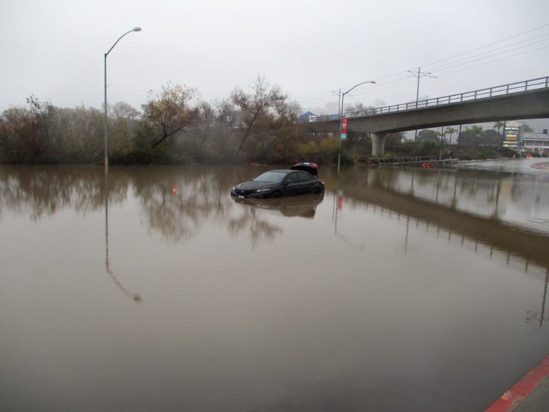
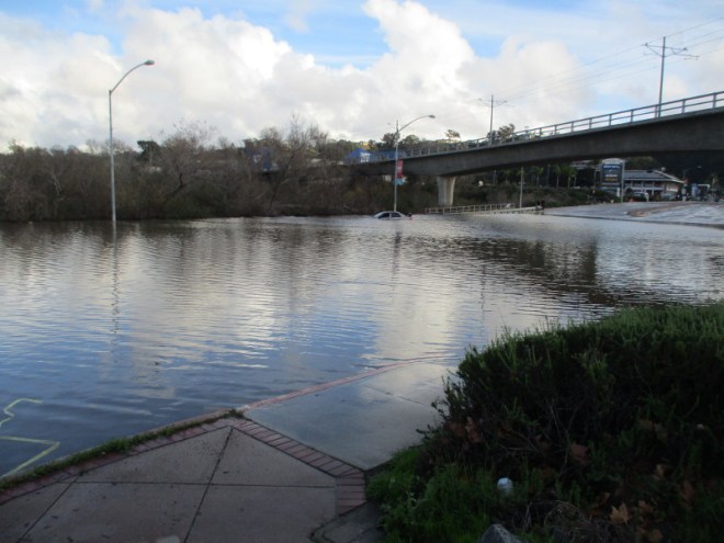
Late in the afternoon, I saw how Mission Center Road was really flooded by the San Diego River. It had rained off and on all day. That car was almost completely submerged.
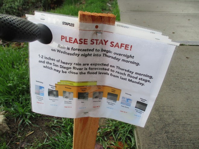
Please stay safe! More rain to come!
…
Thanks for visiting Cool San Diego Sights!
I post new blogs pretty often. If you like discovering new things, bookmark coolsandiegosights.com and swing on by occasionally!
I live in downtown San Diego and love to walk around with my camera! You can follow Cool San Diego Sights via Facebook or X (formerly known as Twitter)!